Calimesa to Jalama Beach
It was time for a trip. Alicia had left the previous day for a girls’ trip to Europe, and my mother was willing to watch the boys, so off I was going.
It had been a while since I had heard the ocean, so I reserved a spot at Jalama Beach Campground near Lompoc. Falling asleep to the sound of crashing waves sounded like a great way to spend my days off.
I got a bit of a late start, not hitting the road until around 11 a.m. But the good thing about that was that I would miss the traffic of the morning commute. As I rode away from the ranch, it was still cloudy and cool.
I hopped on I-10, Highway 210, and I-215 to get out of the Inland Empire and on my way. Unfortunately, freeways were a bit of a necessity to go anywhere from here, unless I wanted to add several hours to the trip.
As I got off the Interstate and onto Highway 138 at Cajon Junction, the skies cleared thanks to the San Bernardino and San Gabriel Mountains blocking the marine layer from the high desert.
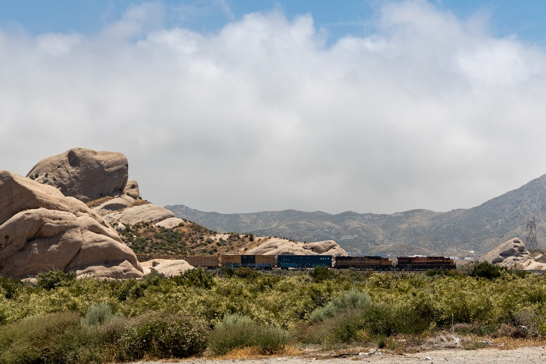
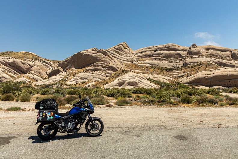
Shortly after getting onto Highway 138, I made a quick stop at the Mormon Rocks. The rocks are a large outcropping of sandstone called the Cajon Formation. The rocks dip to the north and were pushed up by movement of the adjacent San Andreas Fault. The rocks were a campsite for Mormon settlers heading to the San Bernardino Valley in the 1800s. Today, they are a pretty cool backdrop for trainspotters watching trains climb and descend Cajon Pass.
Highway 138 was pretty boring and straight as I headed west toward the Antelope Valley. Sand, desert scrub, and Joshua trees dotted the landscape all the way to the horizon. As I entered Palmdale, the winds coming off the north side of the San Gabriels got pretty strong, pushing my bike toward the shoulder. I had to take a moment on the side of the road to wait for a lull in the gusts.
Soon, I found myself on Highway 14, the main route between Los Angeles and the Antelope Valley. I had expected to make a turn onto a road that headed toward Elizabeth Lake, but I must have missed it. I pulled off the freeway to figure out where I was and found myself on the Sierra Highway. This was the old highway that the Highway 14 freeway replaced. It was once part of the coast-to-coast US Highway 6, which at one time ran from Long Beach, Calif., to Provincetown, Mass., but has since been truncated to start in Bishop, Calif.
Sierra Highway was a fun detour from the freeway that took me through treelined canyons and past several spots used by Hollywood productions when they need rural scenery. The road soon entered the city of Santa Clarita, where I found myself surrounded by McMansions and shopping centers.
I crossed Interstate 5 just north of Magic Mountain and continued west on Highway 126. The road headed into the valley of the Santa Clara River. Farms lined both sides of the highway. Initially, I was greeted by the scent of cilantro, but soon the scent of the farms changed to a mixture of smells I could only describe as smelling like barbecue seasonings.
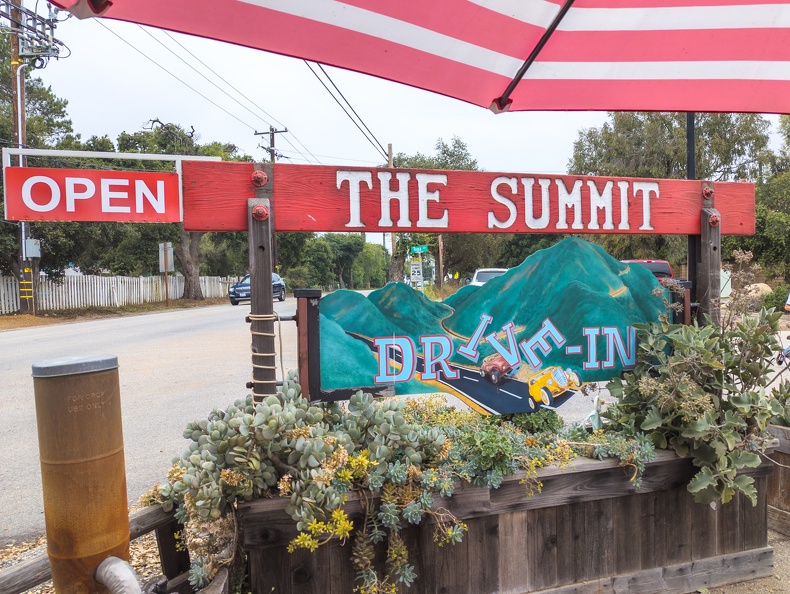
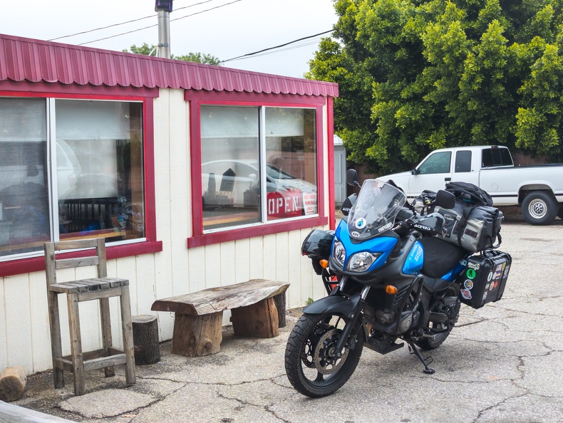
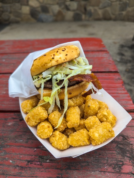
At Santa Paula, I turned onto Highway 150 and headed north. This highway was a sweet, twisty route that climbed Santa Paula Ridge into the Upper Ojai Valley. The low clouds of the marine layer were hanging over the ridge, and I got the tiniest bit of drizzle as I entered the Ojai area. It was about time for a lunch stop, so I pulled off at the Summit Drive-in. I ordered the Firehouse #20 burger – covered in jalapenos, pepper jack, and spicy mayo. The fill-up hit the spot.
I continued and Highway 150 dropped into the lower Ojai Valley. Just before dropping, I passed a Ducati rider staring out over the valley below from a vista point. The highway dropped 400 feet in a short distance through a series of tight switchbacks.
After passing Ojai, the highway followed the shore of Lake Casitas and I noticed there was absolutely no other traffic on the road. I had it all to myself. The highway climbed over Casitas Ridge and I got my first glimpse of the Pacific in the distance. The road dropped into Carpinteria and the smell of the ocean air was refreshing.
I made a quick stop for gas and continued pushing north. I ran into some afternoon traffic in Santa Barbara but filtered through with ease.
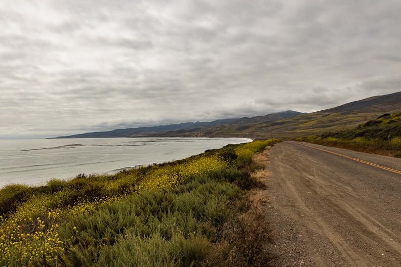
After passing through the Gaviota Tunnel, I turned onto Highway 1. The final stretch was on Jalama Road, 14 miles of bumpy, narrow, windy, crumbling asphalt that winds over the Santa Ynez Mountains and several large ranches before its final drop to the beach north of Point Concepcion. I rolled into the campground right around 5 p.m.
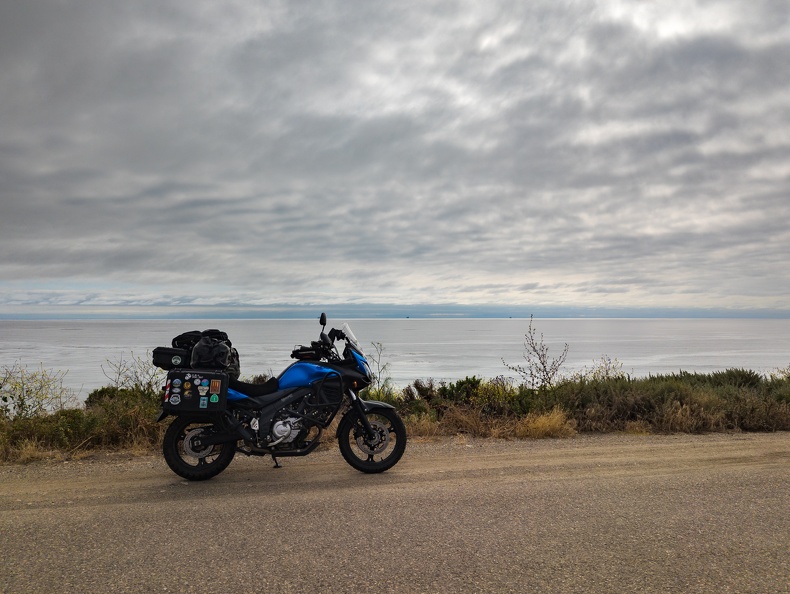
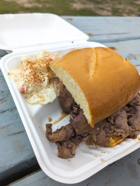
I quickly set up my tent surrounded by RVs and trailers. I tossed my gear into the tent and hurried to the camp store before it closed for some supplies and dinner before they closed. The Jalama Beach Store was allegedly famous for the Jalama Burger, but I opted for the tri-tip sandwich on garlic bread with some homemade potato salad and seasoned fries.
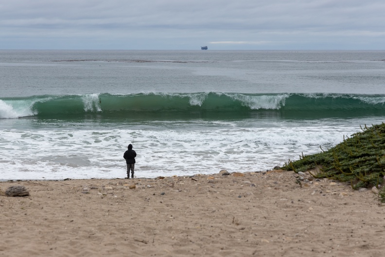
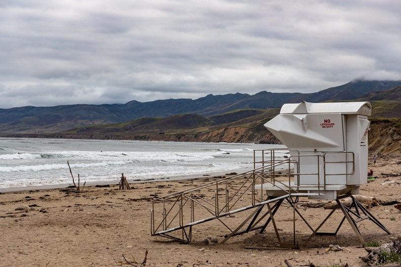
After eating and setting up my sleeping arrangements inside the tent, I took a stroll on the beach. Surfers were out on the water catching waves and fisherman were lined up on the waterline trying to catch dinner of their own.

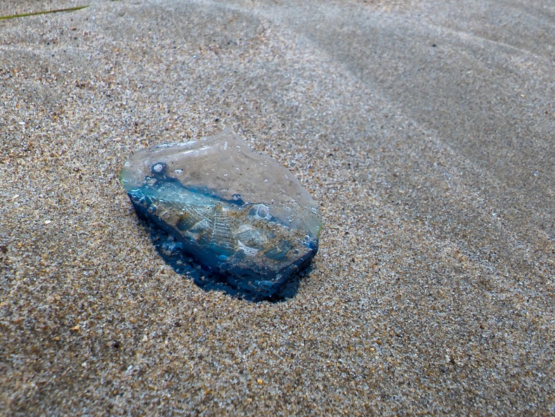
I walked around some more and found dozens of velella – a small blue relative of the Portuguese man-o-war – washed up on the beach.
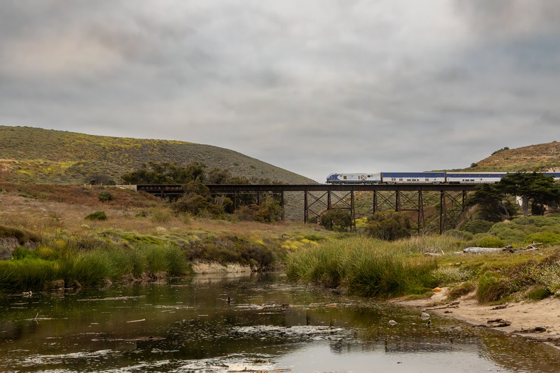
I navigated through the piles of velella and washed-up driftwood and sat along the banks of Jalama Creek, looking up at the railroad trestle above the campground. Amtrak’s Coast Starlight passed by on its way to Lompoc and points north.

I walked back to my campsite and grabbed a cigar and beer. I went back to a bench overlooking the beach and watched the sun set over the surf while listening to the waves.
All proper camping trips need a campfire, and I got mine set up. I finished the night watching the dancing flames.
Total Miles: 259
