
Jalama Beach to Wrightwood
I slept so well last night. The sound of the waves and my new cot that kept me off the ground were a great combination. However, I was awakened around 6 a.m. by the sound of garbage trucks dumping out all the park’s trash cans. The trucks finished their business, and I went back to sleep, waking up around 7:30, this time to the sound of the neighbor’s toddler screaming.
I made my morning coffee, broke down camp, and planned out my day’s route. I got on the road around 9:00.
I hopped back on Highway 1 and took it a few miles to Santa Rosa Road. The road was windy, bumpy, and had terrible pavement. The road took me past many farms, vineyards, and quarries. I even passed a large farm growing either marijuana or hemp – I didn’t stop to check.
I got onto Highway 101 near Buellton and took it to Highway 166, a former offshoot of the famous Highway 66. Highway 166 was a really nice road that wound its way through scenic canyons and the Twitchell Reservoir, which appeared to be more than full.
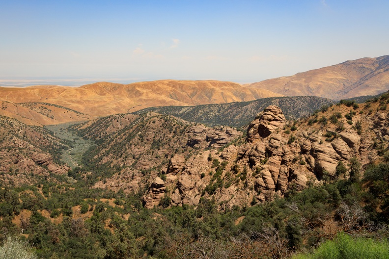
I entered the Cuyama Valley, and the temperature rose to the 90s. To the north were rugged red mountains with well-defined visible rock layers. As it turned out, I was a mere 10 miles south of the Carrizo Plain, which I had visited a few years ago on my Tour of California.
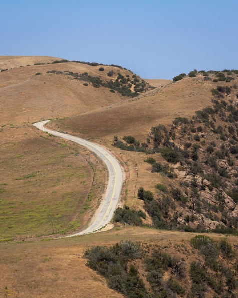
I made a quick stop for gas in New Cuyama and kept going east before turning onto Hudson Ranch Road, which is laid essentially right on top of the San Andreas. The road entered the Bitter Creek Wildlife Refuge and climbed into the San Emigdio Mountains. I passed views of vast valleys, and amazing red rock formations. There was no traffic on the road, and I was able to move about quickly.

I stopped for lunch in Frazier Park along Interstate 5, then headed south toward Gorman. I crossed over I-5 and hopped onto a former portion of the Ridge Route, the original road that crossed the Tejon Pass between Los Angeles and the central valley.
After a short stretch on Highway 138, I turned onto LA County Road N2. This was an amazing road that twisted through the hills. I passed another blue V-Strom going the opposite direction with a wave and carried on.
It started getting hot near Elizabeth Lake just before I dropped into Palmdale. I ran into afternoon traffic on the streets of Palmdale and the temperature rose to 90. For some reason, the GPS took me on the surface streets through the middle of town, so I was stuck in the old stop-and-go.
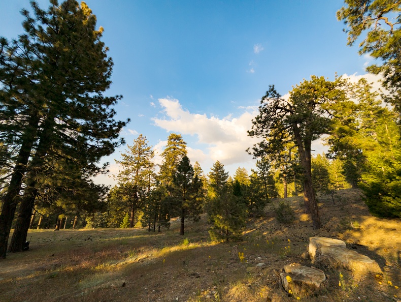
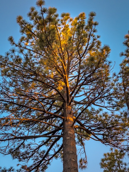
Soon I reached the Big Pines Highway and climbed into the San Gabriels. What a great road! The view alternated between the Mojave Desert and the tree-covered mountains as it climbed. As I neared the top, I was greeted by the smell of pine trees.
I reached camp around 4 p.m. Off in the distance, I heard thunder while setting up camp. I quickly set everything up to keep my stuff dry while I went to a nearby store to get some supplies for the night.
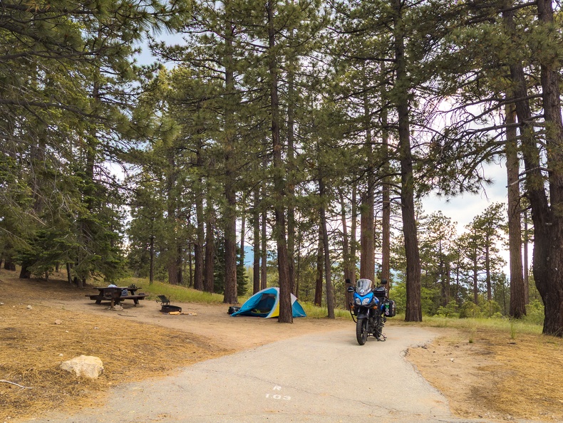
After getting back from the store, I got a little drizzle. I stuck my firewood inside my tent to keep it from getting too wet. I kept checking the radar on my phone to see where the rain was going. Fortunately, it stayed to the east and the skies cleared up.
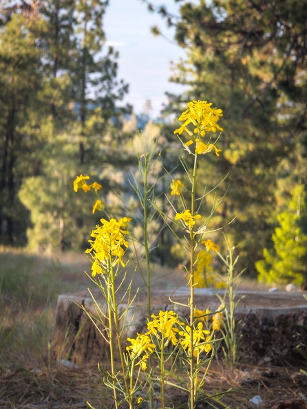
From my campsite, I could see puffy clouds in the sky and the Mojave Desert off in the distance.
I made a fire but had a hard time keeping it going. I’m not sure if the wood was not completely dry from being stored, or if it was the 7,000-ft altitude. I managed to keep it going by blowing it with my air pad inflator.
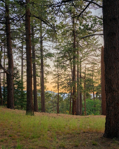
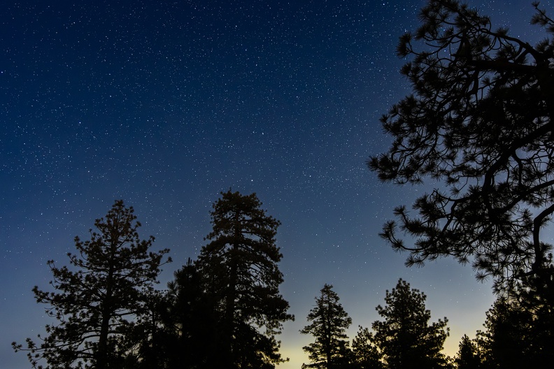
After dark, I sat and looked at the thousands of stars in the sky above the trees.
Total Miles: 265