Motorcycle Relief Project – Day 5

Day 5: October 5, 2018

Route: Florissant, Guanella Pass, Littleton

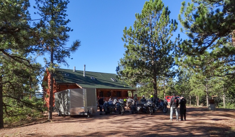
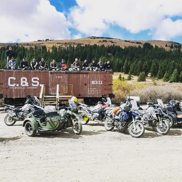
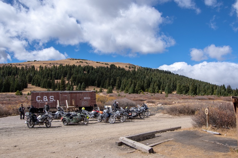
It’s the final day of our MRP tour of Colorado – well, part of it. We packed up our belongings and loaded them in the support trailer for the ride back to Littleton.

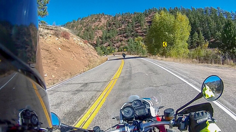
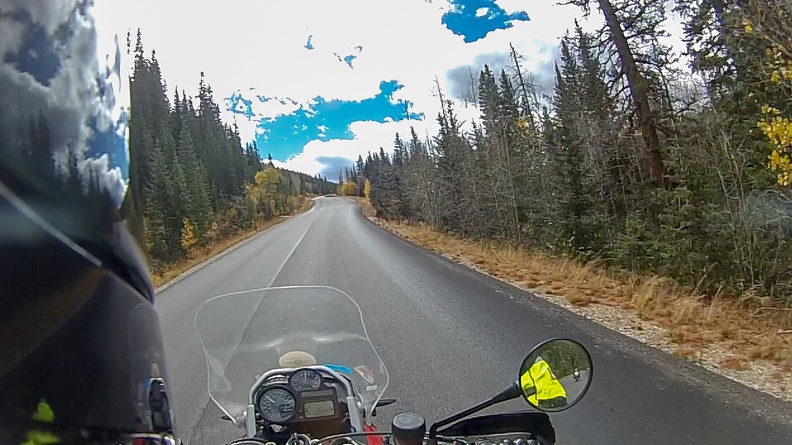
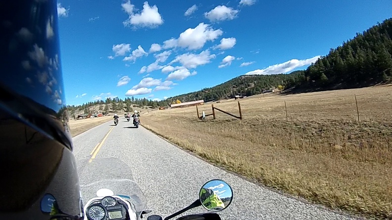
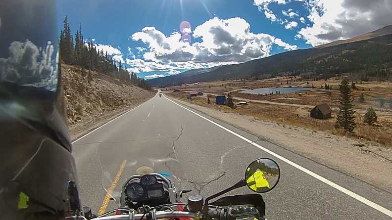
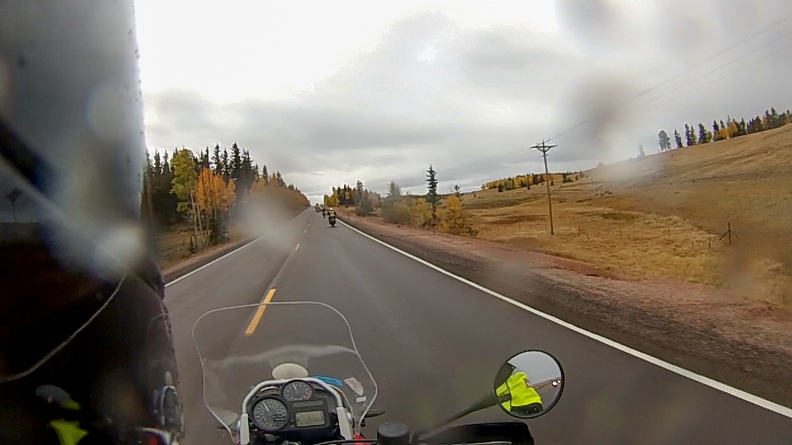
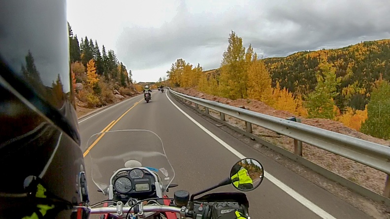
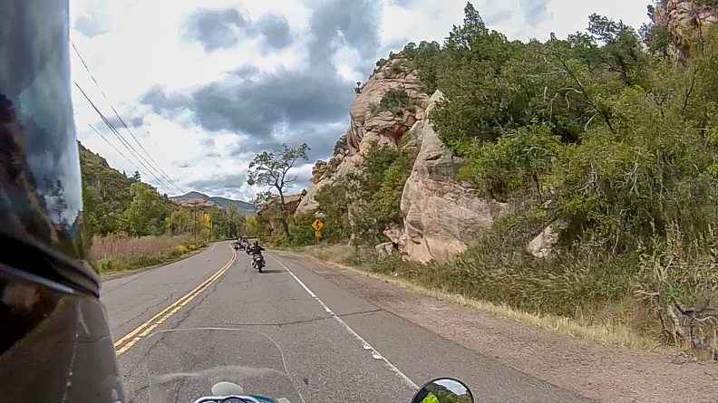
We headed out of town on US Highway 24 through Ute Pass and back to Woodland Park. It was slightly breezy, but nothing like the previous day. We turned north on Colorado Highway 67 and headed into the Rampart Range toward Deckers.

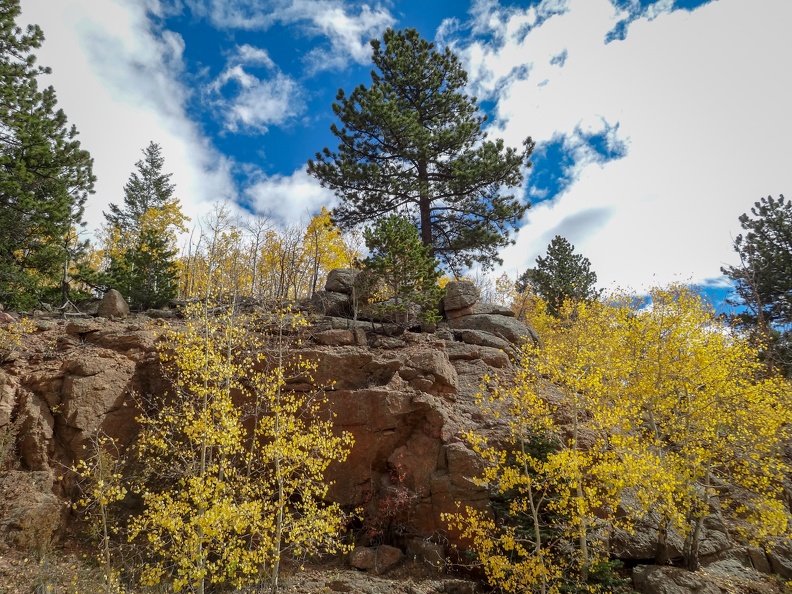
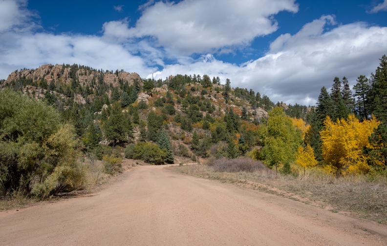
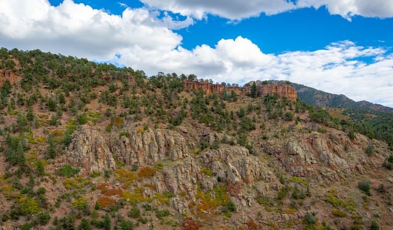
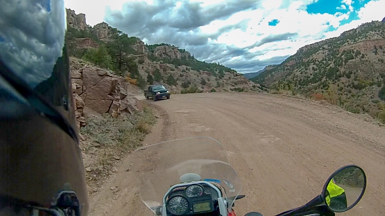
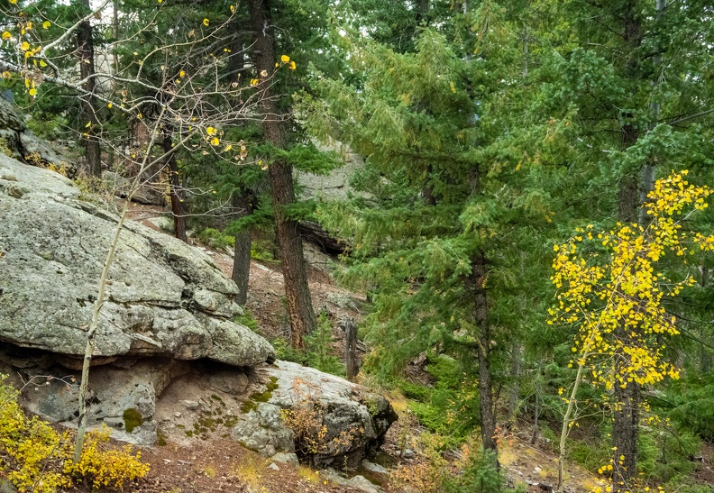
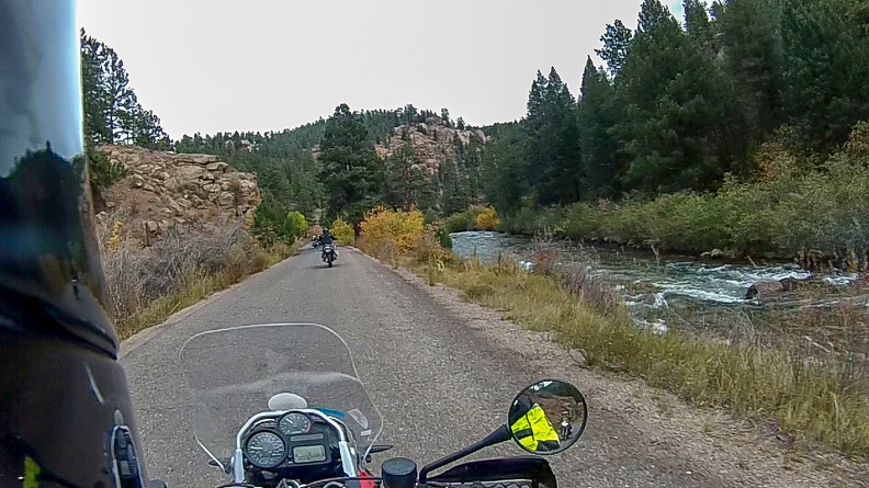
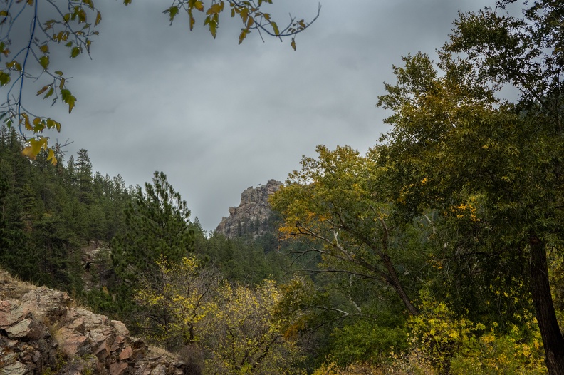
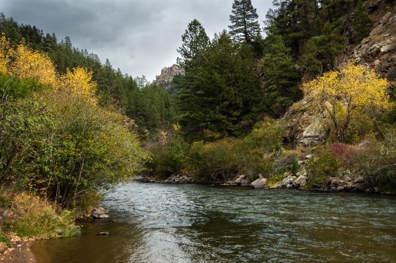
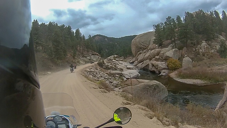
From Deckers we followed the South Platte River on County Road 126 as it wound west then north through multiple canyons carved by various creeks. As was typical, the road was lined by dark green evergreens, yellow aspens, and brown grasses. The road followed the canyon, then climbed up and over a ridge, coming out at Pine Junction.

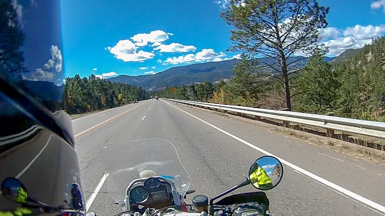
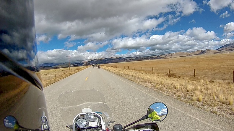
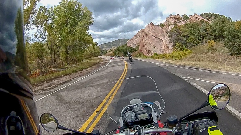
From Pine Junction we went west on US Highway 285 toward Bailey. We dropped down into Bailey, where the highway hugged the South Platte River through its canyon. Along the way, the steep mountains bordering the canyon leveled out into a strip of farmland along the river’s banks.

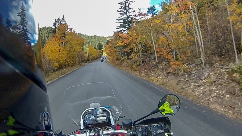
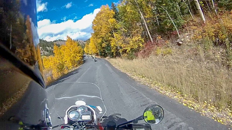
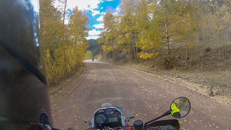
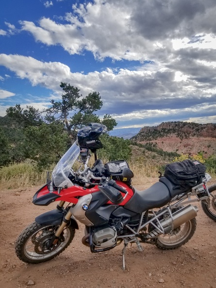
When we reached Grant, we turned north onto Guanella Pass Road to make the climb up. The pavement was very smooth and traffic was light as the road climbed the pass following Geneva Creek. We passed through several yellow tunnels of aspens on our way up.

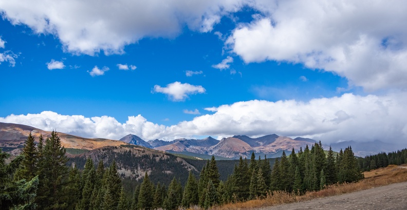
Once the road started making it final climb to the summit, I slipped back from the pack as we wound up the tight switchbacks. A cold drizzle started to fall as we went up. We passed through the tree line near the pass’s summit and we were greeted with a vast valley of brown rocks with sparse specks of green trees that managed to survive at the altitude. Several peaks were visible from the summit. To the east, Geneva Mountain, Mount Bierstadt, and Mount Evans. To the west were Squaretop Mountain, Mount Wilcox, and Decatur Mountain. As I rolled across the summit (elevation 11,669 ft), I still did not see the rest of the group. I didn’t think I was going that slow as to let them get so far ahead.

We didn’t stop at the summit because we thought the group was already on their way down. As we descended, more rain started to fall. The air temperature gauge on the GS was showing it was in the low 40s. Soon, the drizzle turned into gently floating snowflakes. It was not thick enough to stick, but I guess I can mark “riding in snow” off my list.

As I was riding down the pass, I saw a bighorn sheep along the side of the road near the Silver Dollar Lake trail head. He must have been shy because he bounded down the hill before I could stop for a picture or turn on my video camera.

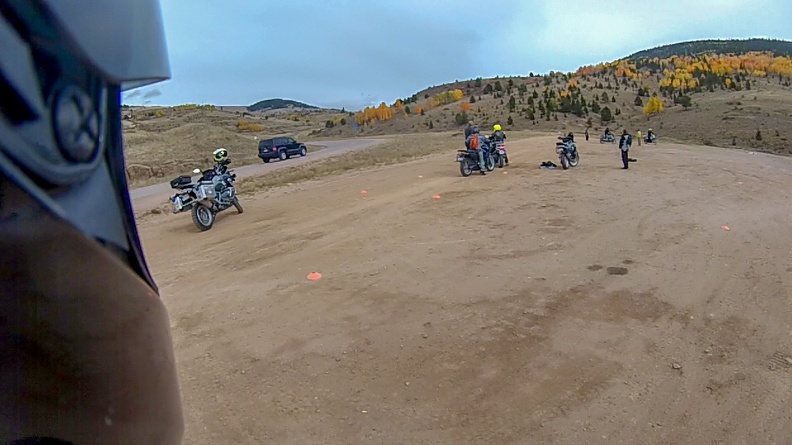
The road straightened out a bit near Cabin Creek Reservoir, but I still saw no sign of the rest of the group. They must have been booking it! I arrived in Georgetown with one other rider and the support truck and stopped at the city park where we were supposed to have lunch – the group was nowhere to be found. It turns out they had stopped at the summit and had been in a parking lot that was not visible from the road.

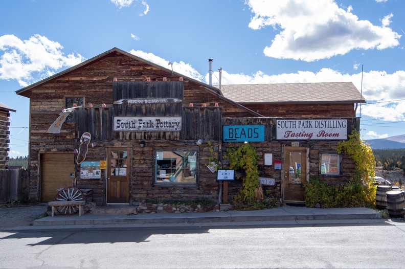
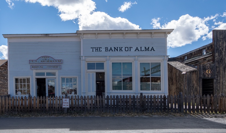
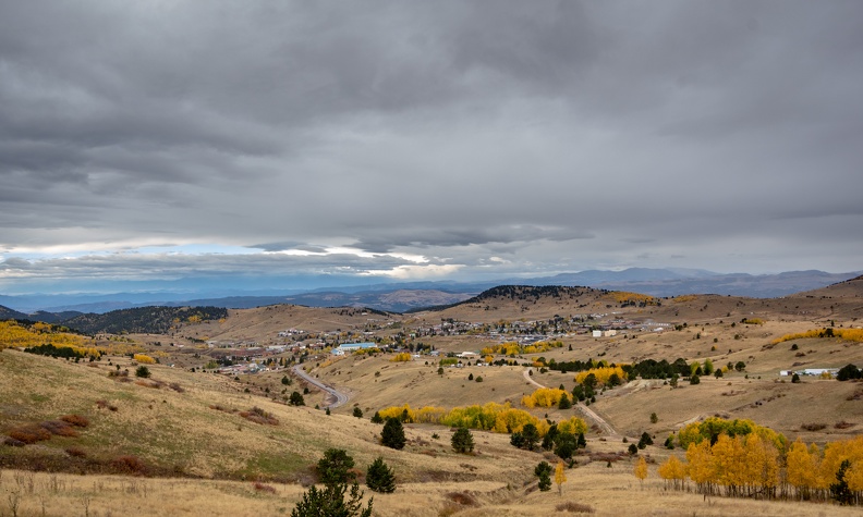
Georgetown was a neat little town. It is the only municipality in Colorado that still operates under a charter granted by the Territory of Colorado prior to statehood; its mayor is called the Police Judge and the town council is the Board of Selectmen. At one time, Georgetown was the center or Colorado’s silver mining industry, earning the nickname the “Silver Queen of Colorado.”

The rest of the group caught up and we ate lunch in the park in the shadows of the towering mountains adjoining the Clear Creek valley. A quick stop for gas and a warming cup of coffee, and we were off on Interstate 70.

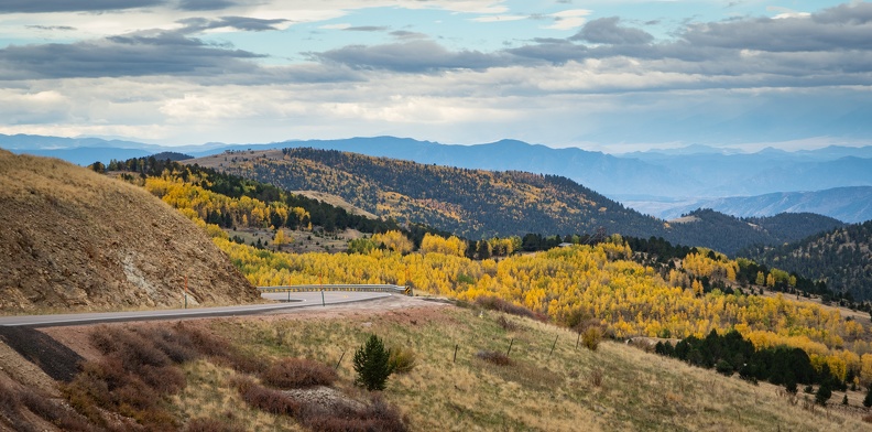
We got off the Interstate at Idaho Springs and climbed Colorado Highway 103 toward Mount Evans. The gentle curves of the highway gave way to twisty switchbacks as we climbed from 7,500 feet at Idaho Springs to 10,650 feet at the base of the Mount Evans Road. A sign at Echo Lake, the start of Mount Evans Road proclaimed the road as the “Highest Auto Road in North America,” topping out at 14,264 feet – probably the easiest way to summit a fourteener. Unfortunately for us, an early snowfall had closed the road for the season, otherwise Evans is a usual stop for the MRP.

From Echo Lake, the faster riders were given free reign to continue on and “play” on Highway 103 as it went through Squaw Pass and down into Bergen Park. I remained back to ride my own ride. The strange thing though was that even though I thought I was going really slow through some of the twists and turns of these mountain roads, when I looked down at the speedometer I was actually going faster than I though. I’m not sure if that was a product of the GS, or just me getting more comfortable on it.

As we descended down from Squaw Pass, depending on the curve of the road, panoramic glimpses of the Denver area and the western Great Plains were visible. I guess this was pretty close to being on top of the world.

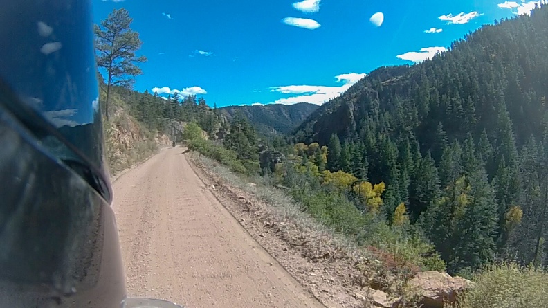
We met up with the group just south of Bergen Park and turned south on Colorado Highway 74. As we rolled into Evergreen, we started to pick up afternoon commute traffic. Just south of Evergreen, we turned onto Turkey Creek Road for the final crossing of the Rampart Range before arriving at Littleton. Turkey Creek Road followed a narrow canyon with many tight curves and trees lining the road’s edge.

We hopped onto US Highway 285 for the final stretch through the Turkey Creek Canyon. As I got on the highway, a strong gust of wind hit me and blew me into the breakdown lane just as it was ending. I narrowly avoided hitting the guard rail. We emerged from the canyon near Morrison and made the final turn to MRP headquarters in Littleton.

We parked our bikes and partook in celebratory adult beverages as we unpacked the gear and put the bikes away to await the next group of veterans. The evening was capped off with a dinner with the group, MRP staff, and supporters. The evening was spent sharing our memories of the trip and joking around like old friends.

Mileage: 161, Total: 742

The MRP has a good thing going. They don’t purport to be therapy, and they aren’t trying to cure anyone, but they do give their participants tools to use to continue the healing process. It’s only one step, but I watched some of the guys go from quiet, stoic, and withdrawn to actively joking around and socializing with other members. Guys who had little success with inpatient PTSD treatment programs said they got more out of a week riding around Colorado and participating in the MRP workshops than they ever did on the inpatient programs.

If you know a veteran or first responder who might benefit from the MRP, tell them to check it out.

Motorcycle Relief Project – Day 4

Day 4: October 4, 2018

Route: Florissant, Guffey, Cañon City, Royal Gorge

We woke to wet weather, but a forecast stating things should clear up later in the morning. Additionally, temperatures were in the low-40s and had been near freezing over night. The staff decided to hold off on leaving for the day until the weather improved a bit.

We gathered around the dining table for a 12-man game of Cards Against Humanity. For anyone who’s ever played, you know how the game is with a few people. When you get more than 10 playing, the hilarious responses get even better!

At about 10 am. the weather had improved enough to get on the road. We headed south from Florissant toward the town of Guffey. Guffey is an eclectic little town that is somewhat known for having elected animals to the office of mayor, despite such an office not actually existing. According to Wikipedia, the current mayor is a cat named Monster who was elected in 1998. Presumably, since cats don’t typically live 20 years, the office is actually vacant.

We stopped in front of the Guffey Garage, home of the private “stuff” collection of a man named Bill. Bill wasn’t around, but one of his business partners let us inside to walk around. Across the street from the garage was an antique store, also owned by Bill. Outside the store were a bunch of iron bathtubs lined up along the east side. Our group took the opportunity for a photo.

We headed out of Guffey on Colorado Highway 9 toward Cañon City. While riding Highway 9 I discovered I was in a bit of a mental funk. For some reason, riding felt difficult and concentrating was a bit of a chore. At one point, I pulled over to let the rest of the group go by so I could go at my own pace at the back of the pack.

We stopped at the Royal Gorge for lunch. We passed on the tourist-trap bridge area and went to a Forest Service overlook. It was just us at the overlook and the views of the gorge’s red rocks with the Arkansas River winding its way through were spectacular. A couple brave members of our group ate their lunch perched on the very edge of the gorge. Not me though.


After lunch we headed for Cañon City. Cañon City was founded in the 1860s as a commercial center for the mining industry around the South Park area of Colorado. Today, it is a popular tourist destination for sightseeing and outdoor activities. The city is also one of the few cities in the US with a Ñ in its name.

We turned off US Highway 50 onto a narrow one-way road called Skyline Drive. Skyline Drive climbs up the top of a razorback ridge that rises a couple hundred feet above the city. The road was built by prison inmates in the early 1900s. Prisoners got 10 days off their sentence for every month they worked building the road. In 2001, dinosaur footprints were discovered along the road. There is a turnoff at the top with a sign and trail to the prints. In many places along Skyline Drive, the ridge was not much wider than the road, with steep drop-offs on either side. I’m not a huge fan of heights, so I kept my eyes on the rider in front of me and let me video camera take in the views.

After descending off Skyline Drive, we turned west on Highway 50 and entered Bighorn Sheep Canyon. The canyon follows the Arkansas River along its course upstream from Royal Gorge. A few miles into the canyon, after seeing dark clouds looming ahead, my funk got a worse because of the weather. Winds picked up and swirled down from the ridge at the top of the canyon down to the road. It started raining heavily, and the rain was cold and stinging – almost like it was hailing. The winds were blowing me around, making it difficult to feel in control. Eventually, it got to be too much and I had to pull over for a bit. The driver of the support truck stopped to make sure I was OK. I told him I just needed a minute to calm my nerves. I actually considered throwing in the towel and giving up on the ride for the day, but decided against it. Another rider then motioned to me to follow him. He rode ahead of me, showing me the way and I powered through.

After about 20 minutes of riding in the rain, the skies cleared up and the sun came out. It was a welcome relief. The constantly changing weather is a strange thing.

We stopped at a bend in the Arkansas River where one of the MRP staff had a mineral claim. The area is all public lands, and the Bureau of Land Management allows people to make mineral claims for a fee. We were given a short lesson on gold prospecting, which was enjoyed by everyone in the group.

We headed north into Salida, where winds picked up again coming off the Rockies. Everyone was having trouble riding their bikes straight, but we all made it back to the cabin in one piece. After this day, I was really tired and glad to get off the road.

Over dinner, we talked about our highs and lows, and I found out I was not the only one who had been riding in a funk. It was nice to know everyone understood and I was not alone.

Mileage: 211, Total: 581

Motorcycle Relief Project – Day 3

Day 3: October 3, 2018

Route: Florissant, Boreas Pass, Breckenridge, South Park City

We woke to sunny skies over Tihsreed. Our ride to Boreas Pass was originally scheduled for Day 4, but with bad weather in the forecast, the days were swapped as Boreas Pass would be safer and easier in the sun.

We headed north out of Florissant and hopped onto Tarryall Road. Tarryall Road wound its way through several valleys and canyons. On the horizon I could see white fluffy clouds hanging out above gray and red mountains. Several portions of the road were lined on both sides with aspen trees that have turned yellow for the fall, a breeze was blowing loose aspen leaves across the road.

We took a break at Tarryall Reservoir where several people were fishing from the shores. We took a few group photos and downed some water, then returned to the road.

We emerged from Tarryall Road near Jefferson. We had entered a large valley, where I could see the Front Range of the Rockies towering above. In the sky, the clouds were being quickly blown from my left to my right.

We made a short stop in Como for another quick break and to set up our bikes for the dirt. Como is a former rail hub for mining trains running through the mountains. Though officially home to a little more than 400 people, it had the appearance of a ghost town.

We headed into the mountains and stopped at the beginning of Boreas Pass Road. Knowing that I’m not the fastest guy in dirt, the driver of our support truck came up to me and gave me words of encouragement. One of the great things I noticed about the MRP crew is they are all very supportive. They would rather their riders enjoy their ride safely than to risk injury by riding outside their limits.

As we headed up the pass, the road was littered with rocks the size of baseballs. I could feel them sliding around under my wheels, but slow and steady wins the race. Heading up, every corner and clearing had spectacular views of the pass ahead or the valley below. Soon the large loose rocks gave way to packed gravel, allowing us to go a little faster.

At the crest of the pass (elevation 11,493 feet) we stopped for lunch. The pass’s summit is the former home of a railroad station. A box car sits at the top, straddling the Continental Divide, as a reminder of the pass’s history. We all climbed to the top of the box car for the penthouse view of the pass while we ate our lunch. A couple people passing through became intrigued about our group, and we were happy to tell them about it. They took a few pictures for us perched atop the boxcar and were given some stickers by the staff.

Looming to the west were clouds that were starting to turn dark. Due to threatening rain, our lunch was cut a little short, though we were already done. We continued down the pass toward Breckenridge. As we descended, I could see the clouds dumping rain on adjacent ridges, but avoiding us.

We stopped in Breckenridge and did what all proper GS riders do; we paid a visit to Starbucks. The descent had been a little chilly and a hot coffee was the prescription. While we were taking our break, I did my part to contribute to the local economy and bought a Colorado sticker from the shop next door to Starbucks. I also took the opportunity to wander around the block, finding a memorial to the US Army’s 10th Mountain Division “Soldiers of the Summit.” The 10th Mountain Division, which specializes in fighting in mountains, snow, and other rough terrain essentially got its start in the Rocky Mountains around Breckenridge. Shortly after the division was formed, they came to the Rockies to train. After World War II, many soldiers who served in the division returned to Colorado and started ski resorts and other businesses in the ski industry.

We headed south out of Breckenridge and climbed Hoosier Pass, where we crossed the Continental Divide for the second time. Though Hoosier Pass is higher than Boreas Pass by about 50 feet, the ride was easier because the pass sits on a state highway.

We dropped out of Hoosier Pass and passed through Alma, which has the distinction of being the highest incorporated town in the US (10,578 feet), then stopped in Fairplay. Fairplay is home to South Park City, a reconstructed mining town and now tourist trap. South Park City has many buildings from the 1800s lining its street. The city was actually the namesake for the TV show, and many of the local businesses play to this fact. One such business had Mr. Hankey perched on its front wall.

After leaving Fairplay, we arrived back at Tihsreed just ahead of the incoming rain. That night, along with the rain, we were treated to nature’s light show as a thunderstorm passed over the cabin.

Mileage: 150, Total: 370

Motorcycle Relief Project – Day 2

Day 2: October 2, 2018

Route: Florissant, Cripple Creek, Phantom Canyon, Cañon City, Shelf Rd

We woke up to cloudy skies with rain threatening to dampen our day. That was not going to stop us! When asked what happens when it rains, the response is: We get wet.

We had a hearty breakfast of eggs and a concoction called “bacon explosion.” Bacon Explosion is truly a dream of those who like to eat pigs. You take strips of bacon, then pack ground breakfast sausage around them. A lattice of bacon is then formed around the sausage. The porcine meat log is then tossed in a smoker for several hours. The result is an artery-hardening mass of deliciousness that is a perfect side to the typical eggs and toast. A serving was given with a warning that eating too much might result in a different type of bacon “explosion” later.

We did our daily checks and packed up for the day. The plan was to head south to Cripple Creek where we would get training from Lance on how to ride our GSs in the dirt. We headed east on US Highway 24 then turned south at Divide on Colorado Highway 67. We were greeted by a light rain as we headed into the Rampart Range.

Highway 67 wound its way above a large canyon carved by several creeks. Views of the canyon were breathtaking – seas of dark green evergreens with small patches of yellow throughout. We climbed up above 10,000 feet for the first time as we crossed Tenderfoot Pass (elevation 10,200 ft) just east of Cripple Creek.

We stopped at an overlook above Cripple Creek and were give a brief history of the town and its origins as a mining town. Tailings from old mines were strewn about the hills below the overlook. Even today, mines around Cripple Creek are producing millions of ounces of gold each year, and many mines offer tours. Despite the high gold production, the town has become a tourist destination due to legalized gambling.


Click for Full Size


We stopped at a dirt parking lot in Victor for our off-road training. Almost as soon as we stopped, the rain stopped and skies began to clear. Lance would be our teacher for the day. Lance runs a business with his brother training people how to ride their large adventure bikes in the dirt. Lance set up a cone course in the lot and we went to work. Though we were only covering the basics, Lance was a really good teacher, and I was surprised at what I could do with the 1200GS. A few people dropped their bikes, but it was not a big deal. When riding with the MRP, we don’t get angry or sad at dropping the bikes, we celebrate it. Each time a bike touched the ground, we would celebrate it by honking our horns in unison. I managed to keep my bike up.

After a couple hours of practice, we headed for our first long dirt ride: Phantom Canyon. Phantom Canyon Road descends from Victor, and is built on the former right-of-way of the Florence and Cripple Creek Railroad. The road runs about 28 miles through the canyon, emerging northwest of Cañon City. We were blessed with twists, turns, switchbacks, wooden bridges, and tunnels. The ubiquitous aspen trees lined the side of the road. Leaving Victor, the road was smooth hard-packed gravel, as the road descended into the canyon the road turned to looser rock and gravel. Still, the GS handled it with ease.

We stopped at the bottom of the canyon next to Eightmile Creek. The spot had great views of the creek and towering rocks above. As we were preparing to roll out, I felt my bike lurch forward, then it started to fall over. I didn’t know what was happening, as I was just standing there waiting. I looked over my shoulder and saw that another rider had somehow run into my bike, causing a domino effect.

We continued out of the canyon and stopped at Cañon City for a break. As we sat there in the parking lot of a Walmart, one of the volunteers showed up with a gift of Snickers ice cream bars! It was hot and the cold ice cream was a welcome snack.

We saddled back up and headed north from Cañon City for Shelf Road. We had to contend with a few detours due to construction, but soon found us headed out Red Canyon Road and the hills. Shelf Road is a former stagecoach route between Cripple Creek and Cañon City. It’s so named because the road is carved into sheer cliff faces like a shelf. Shelf Road was also a lesson in contrasts. Whereas Phantom Canyon was covered in greens and yellows, the area around Shelf Road contains a lot of red rock. Strangely, the two canyons are separated by only about six miles.

As we climbed up Shelf Road, much of it was loose gravel, only one lane and perched on the edge of steep drops with no guard rail. A few times we would come around blind corners to find trucks approaching in the opposite direction. After about 15 miles, we emerged at Cripple Creek where the weather was cold and threatening rain.

If you don’t like the weather, wait a few minutes. It’s the Colorado way.

I found all the dirt riding to be tiring. Standing up and sitting down on the bike was like doing hours and hours of squats … Actually, it wasn’t just like it, it WAS hours and hours of squats!

I arrived back at Tihsreed to find that my rear tire had lost 10 pounds of air pressure. I filled it up to see if it was leaking or just temperature and elevation changes.

The topic at the dinner table centered around our dirt exploits. Everyone enjoyed dirt riding a lot, even the guys who normally ride Harleys. One even whispered, “Does anyone know someone selling a GS?” Laughter filled the room.

Mileage: 120, Total: 220.

Motorcycle Relief Project – Day 1

Day 1: October 1, 2018

Route: Littleton, Colo., to Florissant, Colo.

This ride report actually starts on Saturday, September 29. Today is day one of the Motorcycle Relief Project. MRP is an organization that takes aims to provide relief to veterans and first responders with PTSD and other injuries by taking them on multi-day motorcycle tours.

I had been trying to get on of the MRP’s rides for a few years, after seeing an article about them on Facebook. They have recently been featured in ADVMoto magazine. Having served in the Army and being diagnosed with PTSD myself, I thought the program sounded like a great way to decompress.

I flew into Denver to meet with the crew from the MRP. I arrived a day early and unfortunately stayed at hotel close to Denver International Airport. I say unfortunately because there was nothing around the hotel, and it was about 20 miles from the city itself.

On Sunday, I made my way back to the airport to meet a couple other participants and to get a ride to MRP headquarters in Littleton. At the airport, I met Dan, a retired US Coast Guard rescue swimmer, and Lance, not a veteran, but he would end up being our dirt-riding coach. We were picked up by Don, the MRP’s lead volunteer, and a Vietnam War veteran.

Sunday night, the other participants and I met at MRP headquarters for a meet and greet. There were a wide variety of veterans from different eras and all of the branches of the US military. It did feel a bit strange to meet a bunch of strangers, but two things brought us together: our status as veterans and love for motorcycles. It did not take long for us start getting along like old friends.

Monday morning we all met back at MRP headquarters to make our way to our accommodations for the week – a cabin in Florissant rented by the MRP. At headquarters, we were assigned our motorcycles – also provided by MRP, acquired mostly through generous donations of MRP supporters. I was assigned Katrina, a 2007 BMW R1200GS.O I was a little apprehensive about riding such a big bike – my own bike is a V-Strom 650 – but I was assured all would be OK.

MRP’s entire fleet is made up of BMW 650, 800, and 1200 GS’s. New to the fleet is Greta, an Army-green R1200GS with a DMC sidecar. MRP recently acquired the sidecar, so veterans who are no longer able to ride motorcycles can participate in their rides.

We mounted our bikes and headed west into the Front Range. We soon entered Deer Creek Canyon, which was fun and twisty. Instantly, we were greeted with beautiful Colorado fall color. There were many evergreens with yellow aspens interspersed throughout.

We soon started climbing into the mountains, coming out of the canyon near Conifer. We stopped for lunch at the home of MRP’s founder – a home with expansive views of the Rocky Mountains and a vast valley between adjacent ranges.

We headed south from Conifer and entered the Platte River Canyon. The road was tight and twisty, following every curve of the river. We stopped at the old South Platte Hotel for a break. We enjoyed cold water surrounded by yellow and brown hills covered in evergreens and aspens. Leaving the South Platte hotel, the road turned to gravel and we got our first, easy taste of the life off pavement. Surprisingly, the GS handled the gravel well. But then again, everyone knows what GS’s can do.


The road came to a T in Deckers, and we stopped there to enjoy ice cream cones at Deckers Corner coffee shop. We had been riding together for only a few hours, but we all acted like old friends.

We took Colorado Highway 67 out of Deckers toward Woodland Park. Highway 67 wound through the Horse Creek and West Creek Canyons before climbing up the Rampart Range into Woodland Park. From Woodland Park, we headed southwest into Ute Pass.

Entering Ute Pass, the scenery changed. Gone were rolling hills covered in trees. Trees were still there, but all around were outcroppings of large red rocks. Ute Pass also introduced us to the manic personality of Colorado weather. Out of nowhere the blue skies gave way to gray clouds and a falling rain.

The rain stopped before we entered Florissant, allowing a bit of time to dry out before arriving at the cabin. We took a dirt road up into the foothills above Florissant to our cabin, the Tihsreed (read that backwards for a chuckle). The cabin was perched on the top of a bluff overlooking a valley carved by a creek. The cabin itself was really nice and would make for a fine base of operations.

We unpacked our gear and selected our rooms. Soon after we had a group dinner around the large dining table. We quickly found ourselves joking around like one big family.

The stars even managed to come out.

Mileage: 100