March 19, 2019: Carrizo Plain to Monterey (237 miles)
Roads Traveled: Soda Lake Rd., California Highway 58, Bitterwater Rd., California Highway 41, California Highway 33, California Highway 198, US Highway 101, California 68, California Highway 1
I got up early enough to see some nice golden color as the sun was rising. Pillowy clouds had moved in and subdued the morning light.
As I was packing up, I got a couple visitors to my camp site. The first was an older man who had been camping with his wife on the opposite side of the road from my site. He walked around looking at the bike and told me how impressed he and is wife were that I was able to fit “so much stuff” on the bike. The second was a woman who had arrived shortly after sundown. She had seen the bike parked in the campground as she drove through. She told me she had a motorcycle of her own and had never thought about going camping with it. She picked my brain for a few minutes about the kinds of things to get for camping from a motorcycle. After saying goodbye to my neighbors, I took off down the hill to see some of the plant life on the valley floor.
On my way down the bumpy dirt road I saw a black object laying on the ground. As I got closer, the item looked familiar. It turned out to be the sunshade from my GPS! Apparently it had fallen off from the bumps on the way up the hill the previous day. I was surprised to see it in one piece after spending several hours on the road.
I stopped multiple times on the way out of the monument to take pictures of the wildflowers in bloom. I saw goldfields, baby blue eyes, phacelia, and fiddlenecks in the early stages of their bloom. Another week or so and these flowers will likely be big and bright.
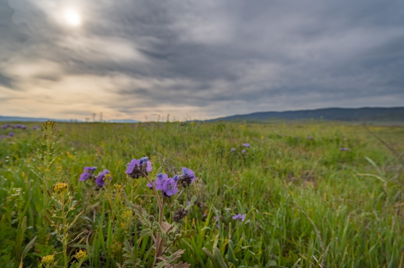

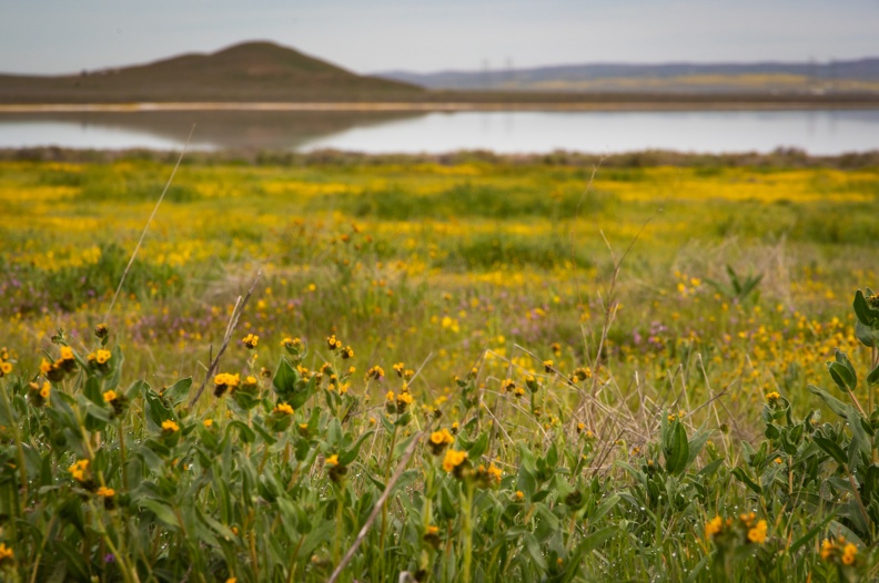
I made a right turn from Highway 58 onto Bitterwater Rd. Bitterwater was devoid of other traffic, allowing me to use the whole road for my travels. I passed through open range and several cows in the roadway and soon entered Bitterwater Canyon – another creation of the San Andreas.
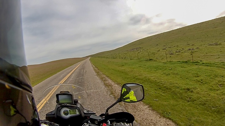
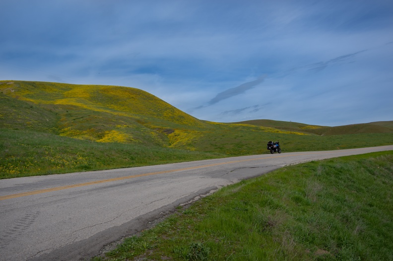
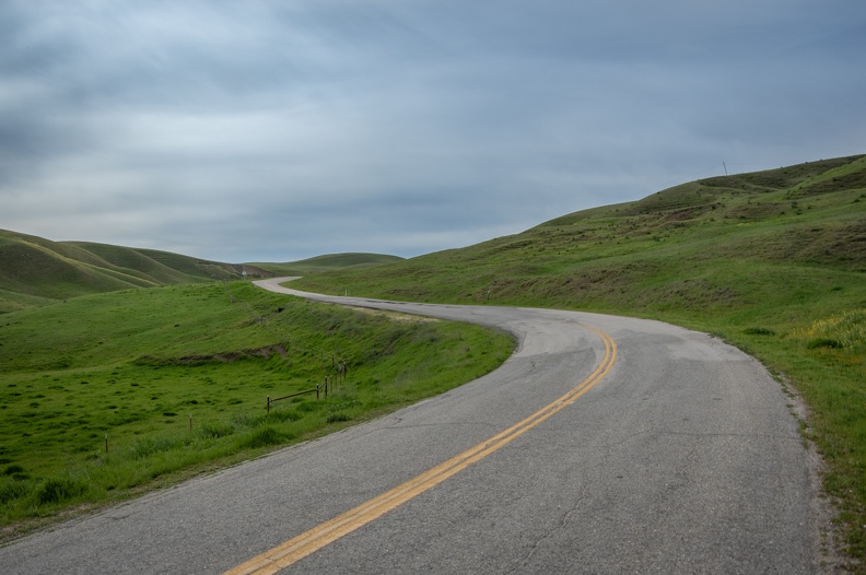
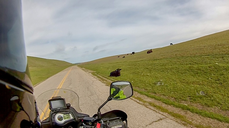
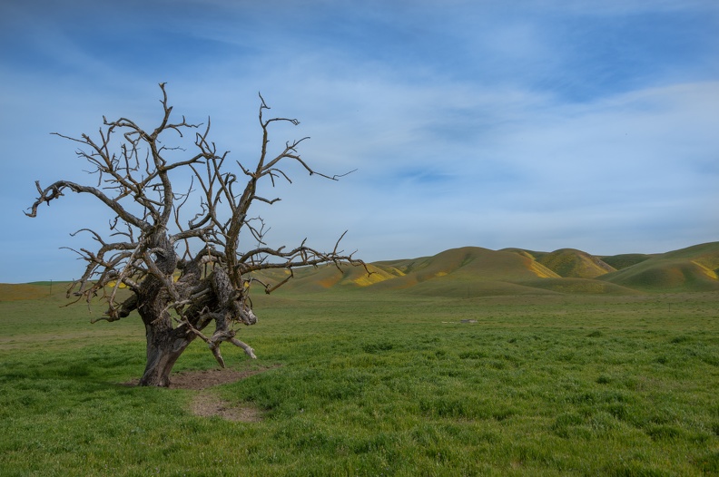
I had to stop in the canyon to reposition my right-side handguard because it had worked its way in, jamming up my brake lever. After a quick adjustment with an Allen wrench, I was good to go.
Bitterwater Rd. let me out on Highway 41 near the Jack Ranch Cafe in Cholame. I took 41 east over Cottonwood Pass and into the Central Valley. As I descended into the valley, I could feel the winds picking up as they too came over the mountains. The air was fragrant from the farmlands and smelled a lot like an herbal tea.
I stopped in Coalinga for gas and a snack so I could plan my next move. All around me, rain was forecast for the late afternoon and evening. I thought about going back to Pinnacles, but my tent wasn’t very waterproof at the time. I had a friend from the Motorcycle Relief Project in Monterey, who was interested in getting together. So I planned to head to Monterey for the night and to meet up with my friend. Not looking forward to the prospect of a leaky tent, I cheated and booked a hotel for the night. I could recharge and get some cleaning of clothes and myself out of the way.
I headed out of Coalinga on Highway 198. The road was like a roller coaster with its ups and downs and twists. There was no traffic and I was able to have a lot of fun. Soon, I was in San Lucas and heading north on Highway 101.
I arrived in Monterey before the rain. I enjoyed a burger and beer at the hotel bar then did some laundry.
I got in touch with Lance from the MRP and we arranged to have breakfast the following morning and do some riding.
Sleeping in a bed felt good.
March 20, 2019: Monterey to Pinnacles National Park (145 miles)
Roads Traveled: California Highway 1, Nacimiento-Ferguson Road, Jolon Road, King City Road, California Highway 25, California Highway 146
As is expected, I slept well in the hotel bed. No shame in this game.
I met Lance for breakfast at the Black Bear Diner. I love Black Bear even though it’s a chain. The portions are big and the prices right.
Lance is a blacksmith, and runs a school with his brother where they teach people how to ride adventure bikes. Though not a veteran himself, he attended the MRP in September as the off-road riding instructor. I learned a lot from Lance in Colorado, and it was good to see him again.
After breakfast we headed south on Highway 1 toward Carmel. As we pulled onto the highway the skies opened up and it started to rain. Onward we went!
We stopped at Mission San Carlos Borromeo for a few pictures. Ryan, my oldest son, had done a report on the mission for school, so I thought it would be nice to stop there for him. Lance, being a blacksmith, looked closely at all the metalwork and told me how difficult some of the stuff was to do by hand. While we were checking out the mission the skies cleared. We continued on.
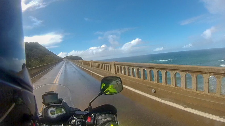
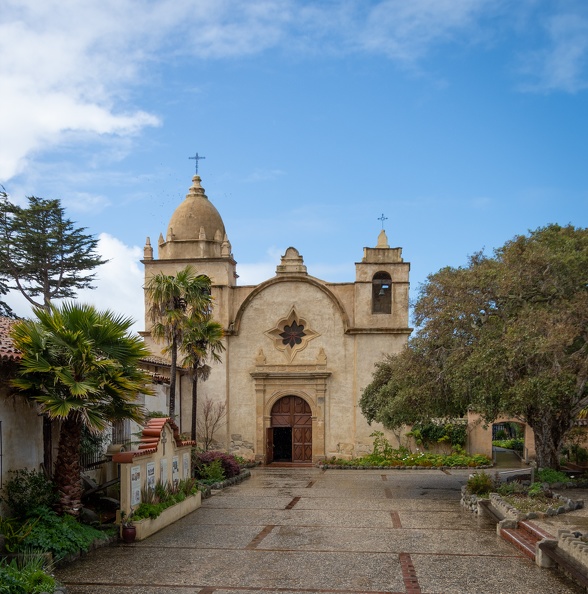
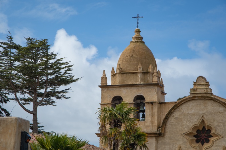
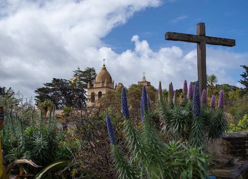
We rode to the Bixby Creek Bridge near Big Sur. Bixby Creek is one of the most photographed bridges in California – probably slightly less than the Golden Gate. Built in 1932, the concrete arch bridge is 714 feet long and is 280 feet above Bixby Creek as it enters the ocean. We stopped in the turnout for a few pictures and watched all the other people who stop to photograph the bridge.


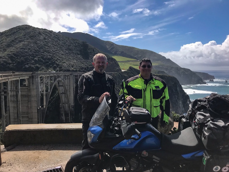
Lance and I said our goodbyes and I continued south toward Big Sur.
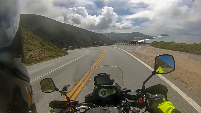
Highway 1 follows hugs the coastline of California for much of its route from north of San Diego until it turns inland west of Leggett. It is famous for the views of the rugged coast and its roadway precariously perched upon the precipitous palisades of the Pacific Coast. The highway follows nearly every curve of the land. Numerous pullouts and vista points were along the highway, giving travelers amazing views of the coast and the ocean. I stopped at one and saw the unmistakable puff of a spouting whale. Unfortunately, the wiley creature disappeared and hid under the water, preventing me from getting a picture of it.
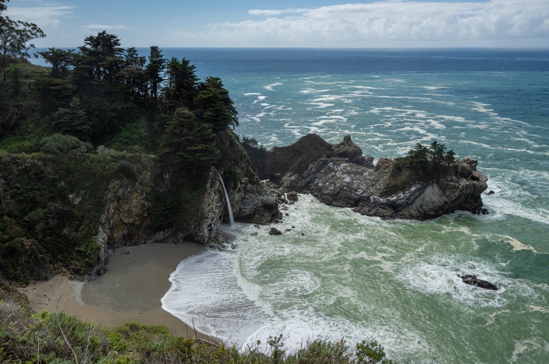
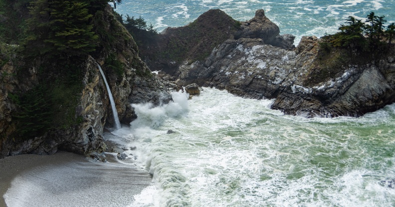
As I continued and approached Julia Pfeiffer Burns State Park, I saw a pullout full of cars with people lined up along the cliff. I stopped and saw one of the coolest sights one could see – a waterfall flowing into the ocean. The scene, with its blue green water and colorful vegetation looked like it belonged in a tropical paradise. California truly gives you a taste of everything.
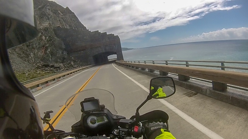
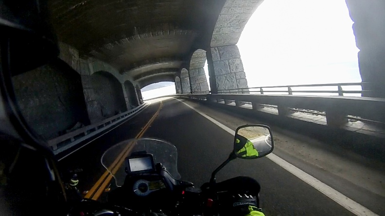

South of Lucia, I turned inland on Nacimiento-Ferguson Road. The road, a steep, twisty, narrow stretch of pavement connects the coast with Fort Hunter Liggett and King City. In about 4 miles of road distance you climb nearly 3,000 feet into the Santa Lucia Range. The road itself was one you take slow. Its steepness and sharp switchbacks kept me in first and second gear for most of the climb. The road then drops down, following the Nacimiento River into Fort Hunter Liggett, an active Army base. There was no guard posted at the gate on this day and I continued through the base. The road inside the base was very smooth and free of any traffic.

After leaving the base, I turned onto Jolon Road and headed for King City. I picked up a little rain just outside of town, but it was short-lived and I could see clear skies ahead.
I stopped for a cup of coffee and to check on the upcoming night’s weather before heading on to Pinnacles. I headed east on County Road G13 and passed pastures and vineyards before entering the narrow Becker Valley. Soon I found myself back on Highway 25, heading north to Pinnacles.

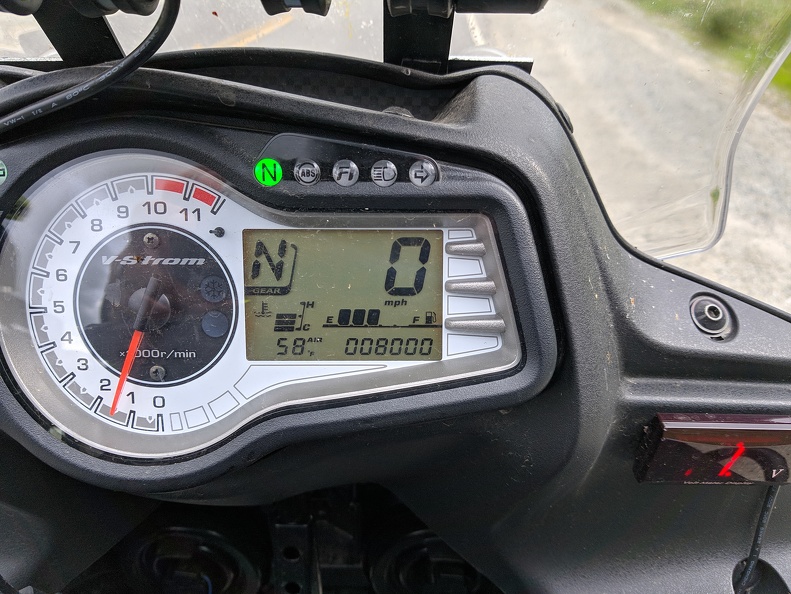
As I turned onto Highway 146 for the final stretch to the national park, I passed a milestone on the V-Strom. My odometer clicked over to 8,000 miles. It’s not much, but the miles were all mine. I arrived at the park with minutes to spare before the store closed. I picked up food and drink for the night and found myself a campsite.
I did a quick set up of my tent and placed my stuff inside, then headed into the park to explore. It was nearing sunset and the fading light seemed to enhance the reds and greens in the mountains around the Condor Gulch Trail. Looking up at the rocks that make up the Pinnacles, I saw several birds circling overhead. From where I was, I could not tell exactly what they were, but Pinnacles is home to many turkey vultures and has been a place where California condors have been released back into the wild. A few of the birds looked much larger than the others, so it’s quite possible that some of the ones I saw were condors.

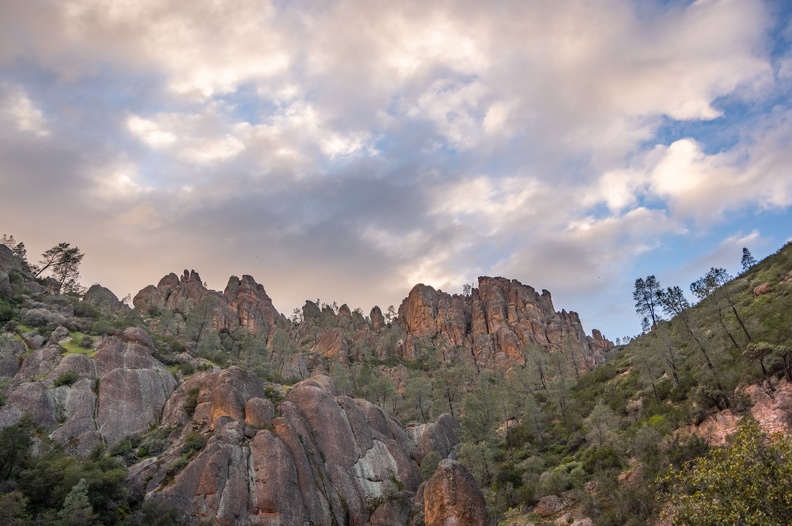
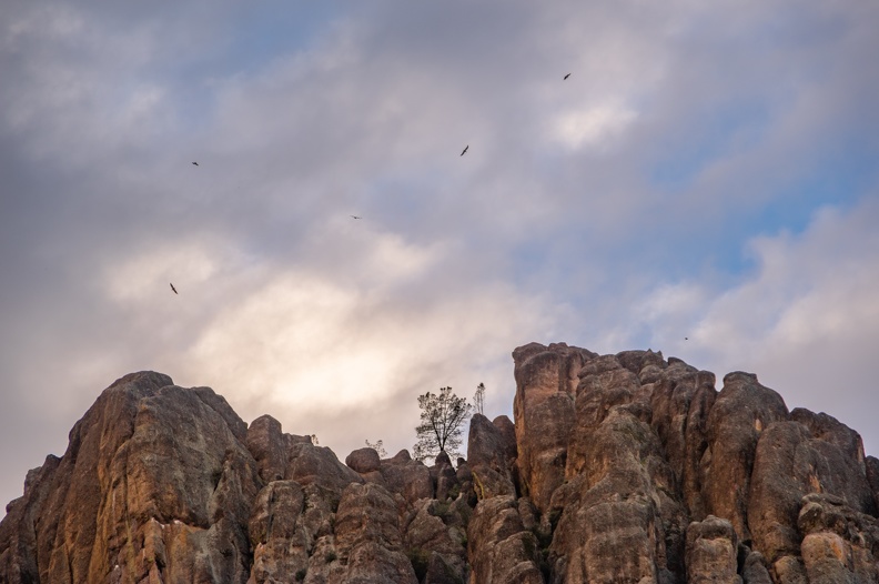
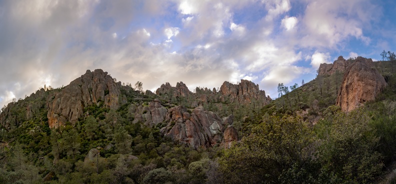
Where does Pinnacles fit into my “theme” for the trip? The pinnacles, which are the park’s namesake, are the remnants of an extinct Neenach volcano. The pinnacles are made of solidified andesite and rhyolite produced inside the volcano. The pinnacles happen to be the western half of this extinct volcano. Creep along the San Andreas Fault moved the pinnacles to where they are today from their original location near present-day Lancaster – 200 miles away!
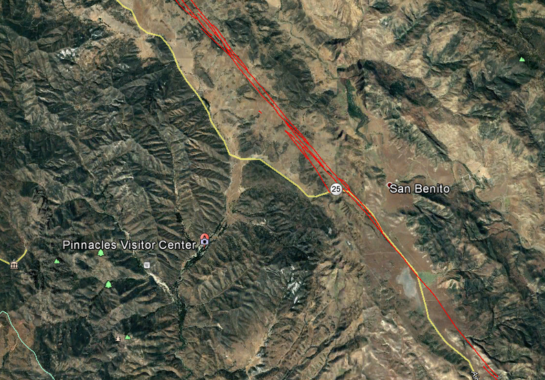
After a short hike along the trail, I returned to camp for my dinner and to wait for nightfall. The moon was full and I had plans to go back into the park for a little night viewing of the pinnacles.
After dinner, I headed back into the park. I arrived at the parking lot at the Condor Gulch Trail and was the only one there. It felt a bit eerie, but at the same time I couldn’t help but wonder why people wouldn’t want to use the brightly lit night to view the pinnacles glowing in the soft moonlight.

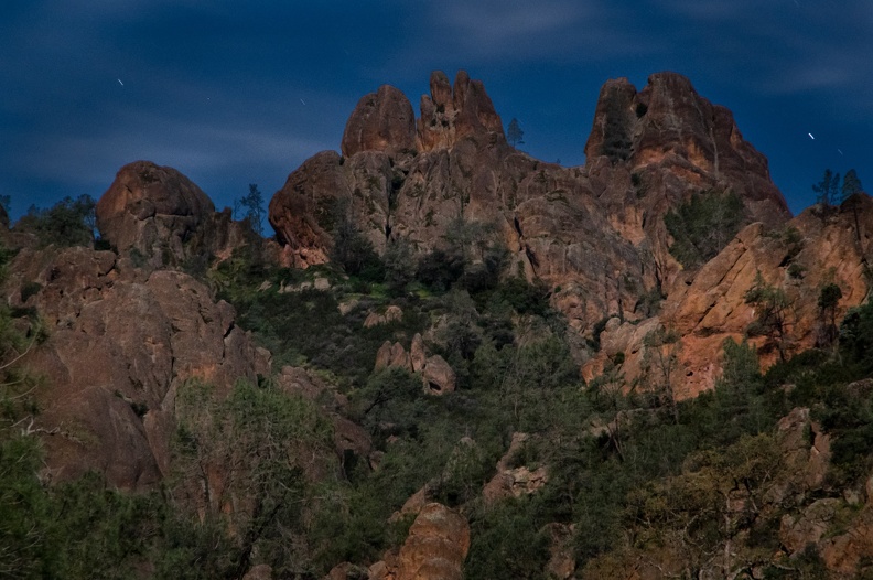
I hung out on the trail for about an hour, watching as the light changed as the moon rose. Soon, the pinnacles seemed to glow in contrast to the dark trees and other vegetation around them.
While it’s great to share adventures, sometimes solitude is what makes it special.
