
March 18, 2019: Pinnacles National Park to Carrizo Plain National Monument (235 miles)
Roads Traveled: California Highway 25, Indian Valley Rd., Vineyard Canyon Rd., California Highway 46, US Highway 101, California Highway 58, Soda Lake Rd.
I got up around 7:30 after sleeping much better than the previous night. I bundled myself up so I would stay warm as the overnight temperatures had dipped into the low 40s. I tried to burn my remaining firewood to warm up a bit while drinking my morning coffee and breaking down camp, but it just wasn’t happening.
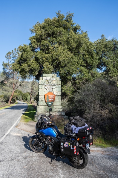
I took the short ride into the National Park proper to view the Pinnacles. The views of the rock formations were good, but I didn’t have much time to hike around. I thought I might come back on the return leg so I can do some exploring.
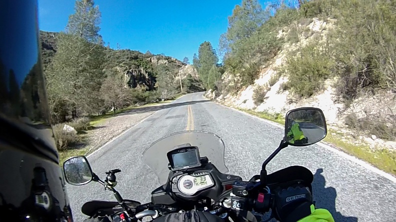

I headed south on Highway 25. The highway didn’t have a color rating on my Butler map, but I found it to be quite fun. There was very little traffic and the road was in fairly decent condition.
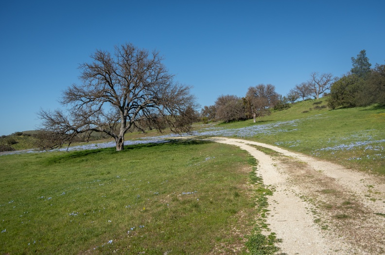
The hills in the area were bright green! Much of the scenery of rolling hills and grasslands reminded me of the “Bliss” wallpaper that was the default on Windows XP. Soon Highway 25 met up with Highway 198. I continued straight onto Peach Tree Rd. The road, which was very narrow, wound its way through farmland and the valley called Slack Canyon, then climbed up into the hills toward San Miguel. At best, the road was 1 1/2 lanes, maybe less. It didn’t matter though because I didn’t see a single car, truck, or anything until I was a few miles outside San Miguel.


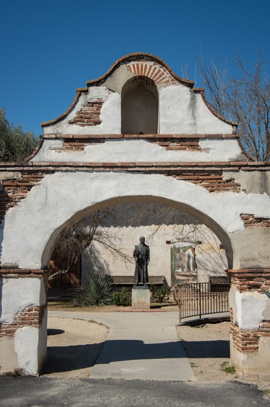
I dropped into San Miguel for a top-off and a stretch. I stopped for a few minutes at Mission San Miguel. Stopping at the mission brought back some memories. When I was growing up, my dad would often take my brother and me to San Francisco for our summer vacation. Along the way, we stopped a few times at Mission San Miguel to tour the grounds. I quickly noticed a lot had changed around the mission since those days of my childhood. The road now had curbs, and the town had been built up quite a bit. No longer was there a dirt parking lot and empty fields around the mission.
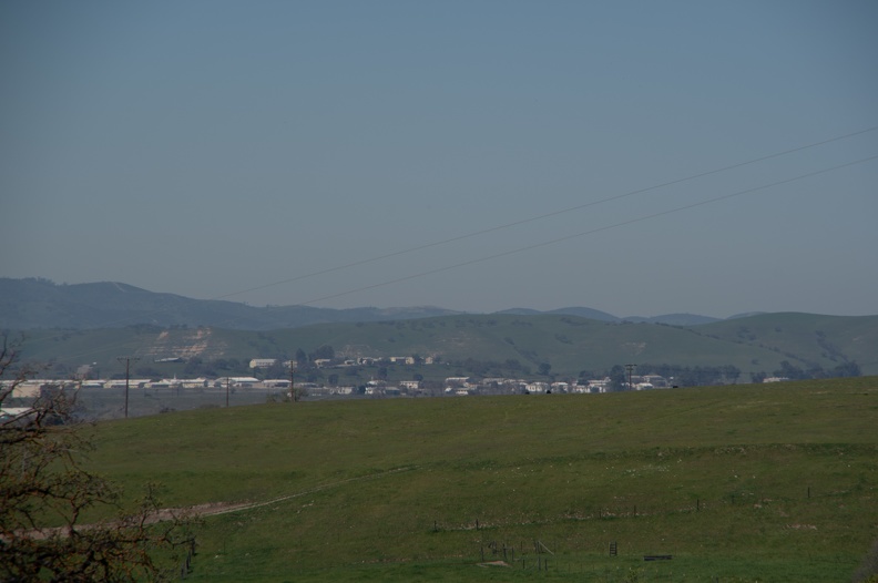
I backtracked out of San Miguel to Vineyard Canyon Road to go to Parkfield. As I made the initial climb up the hill out of San Miguel I got a glimpse of Camp Roberts in the distance, my old annual training stomping grounds from my time in the California National Guard. “Camp Bob” still looked like a collection of old World War II-era barracks (because it mostly is), but it looked like it had been built up considerably since my time in the Guard.
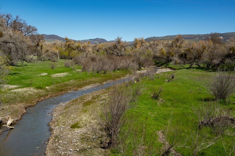
Vineyard Canyon Road wound its way through green pastures and soon climbed up into a landscape of brown brush. The road dropped into a valley near the town of Parkfield.
For geology and earthquake fans, Parkfield is the epicenter (har har) of activity. Parkfield lies on the San Andreas Fault and is in an area keenly studied by geologists. Parkfield is the perfect place because since 1857 there has been a magnitude-6 quake on an average of every 22 years. The relatively short time between events and regularity of occurrence makes Parkfield the most closely studied earthquake zone in the world.
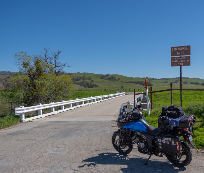
I stopped at the bridge into town, where a sign proclaims you are crossing the San Andreas Fault. Heading east the sign tells you that you’re entering the North American Plate; heading west, the Pacific Plate. The bridge itself lies on a portion of the fault that experiences aseismic creep, that is fault movement that does not result in an earthquake. Since the bridge was built in 1936, creep along the San Andreas has resulted in the piers of the bridge shifting 5 feet relative to each other. Looking down the south guard rail, one can see a bend created as a result of the creep.

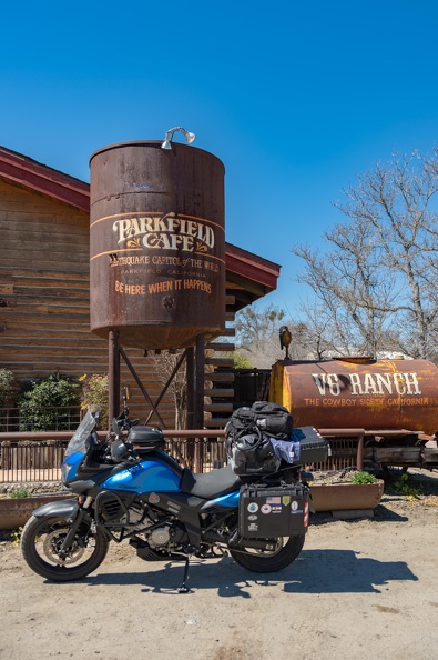
I stopped at the Parkfield Cafe where a water tower proclaims Parkfield as the “Earthquake Capital of the World” and invites customers to “Be here when it happens.” Across from the cafe is a hotel inviting you to “Sleep here when it happens.” I thought the cafe would be a good place to stop for lunch, but alas, they are closed on Mondays. Fortunately, the cafe’s owner was out and about in town and saw me wandering around the cafe. She was kind enough to go inside and get me a bag of chips.
I left Parkfield and headed south on Cholame Road which runs along the San Andreas until it reaches the Cholame Valley. One thing I noticed on Cholame Road, which runs through Monterey and San Luis Obispo counties, was Monterey County takes care of their road. In Monterey County the road was very smooth and the pavement relatively new. Once I entered SLO County, the road turned into a rough, pothole-covered mess. Those potholes that were filled, were not even filled level with the rest of the road surface.
Cholame Road soon meets up with Highway 46, just west of its junction with Highway 41. The intersection of Highways 41 and 46 is called the James Dean Memorial Intersection. The junction is the site where actor James Dean was killed in a car crash in 1955.
There is not much left in Cholame, other than a restaurant, which I stopped at for lunch. Because of its proximity to the James Dean intersection, the walls are lined with photos of Dean, and there’s a memorial to him in the parking lot. I chose the bacon cheeseburger, which was very good.
Continuing on, I stopped in Santa Maragarita on Highway 58 to top off my gas tank and to pick up some supplies for the night. Carrizo Plain was still another 60 miles away, and there’s no other place to stop before getting there.
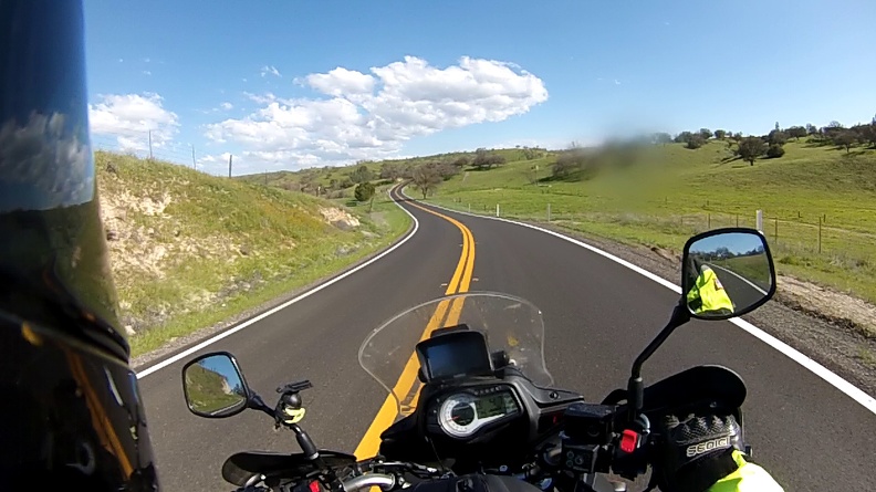
Highway 58 was a very nice road. Caltrans had recently laid fresh blacktop over its rises, falls, twists, and turns. The scenery was wonderful as well. Green hills abounded with stands of oak trees and streaks of yellow and blue wild flowers.
58 emerged in the vast Carrizo Plain, tucked between the Temblor Range on the east and the Caliente Range on the west. I soon reached the National Monument boundary and the shores of Soda Lake, a shallow seasonal lake that is a dry bed most of the year. However, because of the wet winter, the lake was full.

The national monument covers nearly 247,000 acres and contains the largest single native grassland remaining in California. The east side of the plain is where the San Andreas fault runs along the base of the Temblor Range. Carrizo is one of the places where it’s easiest to see the surface feature of the fault. If you have seen a picture of the San Andreas Fault from the air, you’ve likely seen the Carrizo Plain section.

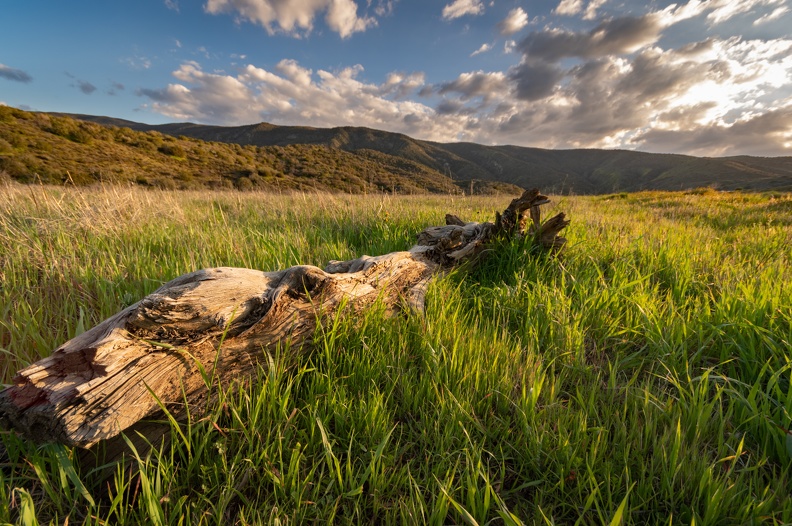
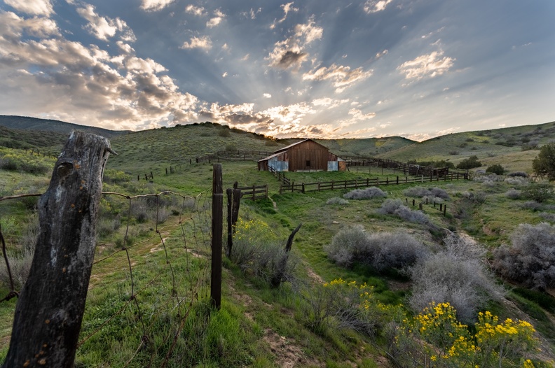
I headed up the 5-mile dirt road to the Selby campground nestled in the foothills above the valley, where it’s free to camp. Surprisingly the campground was nearly full and I got the second to last site. It was still somewhat early and I took my time taking in the vistas from the campground before setting up my camp for the night.


As the sun went down, I heard a pack of coyotes in the distance calling each other. After that, there was no sound at all except for the occasional airplane flying overhead. There’s a reason why the Bureau of Land Management’s information about the plain says “you can hear the silence.”
The downside of being so far away from everything is that any items you might need you need to carry in with you. Due to my limited space, I did not have any firewood. I love a campfire, though. I found two partially burned logs inside the fire ring, but was unable to get them lit.
Instead, I enjoyed the clear skies under the light of the nearly full moon. The valley was illuminated in blues and yellows by the moonlight, and thousands of stars were visible overhead.

