Scott Goes International, Part 4

Day 4: August 21, 2018

Route: Richland, Washington, to Hunters, Washington

As I mentioned before, we slept without tents so we could spend less time packing up in the morning. While hanging around camp last night, a cat wandered into our camp site. I don’t know who the cat belonged to, but it had a collar on it. Perhaps it was the KOA’s cat. In any event, Greg made friends with the cat and it stayed at our site all night sleeping on top of Greg. Greg said the cat made his night.

We got up around 6 a.m. to get to the B Reactor tour.

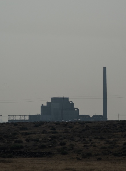
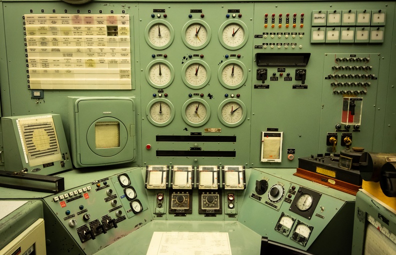
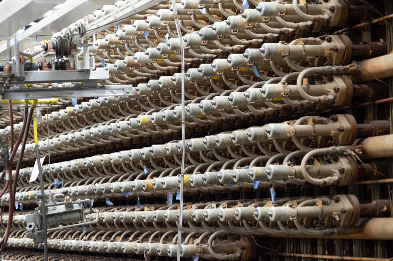
B Reactor was the first large-scale nuclear reactor ever built. It was built as part of the Manhattan Project to develop the atomic bomb. The story behind the reactor was fascinating. The construction of B Reactor went from trying to find a suitable site, to planning, to construction, to production in 21 months! Plutonium created by the reactor was used in the first test of an atomic bomb at Trinity, New Mexico, and in “Fat Man,” the bomb dropped on Nagasaki, Japan. B Reactor, and the Hanford Site as a whole, were instrumental in ending World War II.

The tour of the reactor itself was great. I was fully expecting to have to go through a bunch of other exhibits and side rooms before we got to see the reactor, but that was not the case. We went through the entrance, into a hallway, then through a set of doors right onto the reactor floor, in full view of the giant face of the reactor. I found the whole building to be fascinating.

The tour gave me a realization: something like B Reactor could not be built so quickly today. There are too many bureaucratic hoops to jump through and environmental red tape to cut through. The permitting process itself, at a minimum, would take longer than the entirety of the Hanford Project took from conception to completion. The reactor, though its ultimate purpose was destructive in nature, is a symbol of a different age, and a testament to the ingenuity and dedication of the American people.

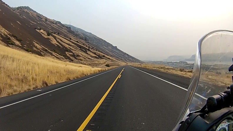
After our tour, we got back on the road and headed north with the goal of getting as far north as we could get before we decided to stop for the night. We hopped on Interstate 192, then US Highway 395. One thing about this area of Washington is that it seems to be an endless stretch of grasslands. As far as the eye could see were brown fields of grass. But once again, I noticed that the roads simply appeared to be placed on the ground and followed the contours of the land instead of cutting through it.

We stopped for lunch at the Odessa Drive-In in Odessa, Washington. Odessa is a farming community with a population of less than 1,000 people. The town was actually named for Odessa, Ukraine.

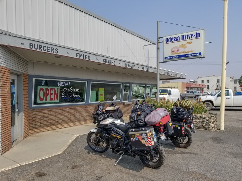
I had a bacon cheeseburger, which was great. Greg had the special, a cheesesteak sandwich, which he said was also delicious. Mom-and-pop places are the best.

After leaving Odesssa, we rode through additional farmland, the road following the undulating topography of the eastern Washington shrub-steppe. Oddly enough, the road was freshly paved, yet I saw maybe one other vehicle aside from our motorcycles. Who exactly was this road paved for?

At Wilbur, Washington, we turned onto east US Highway 2 for a few miles. Wilbur was another farming community, nearly the epitome of “Small-town America.” We then turned onto Miles-Creston Road, a twisty road connecting US 2 to the Lake Roosevelt National Recreation Area.

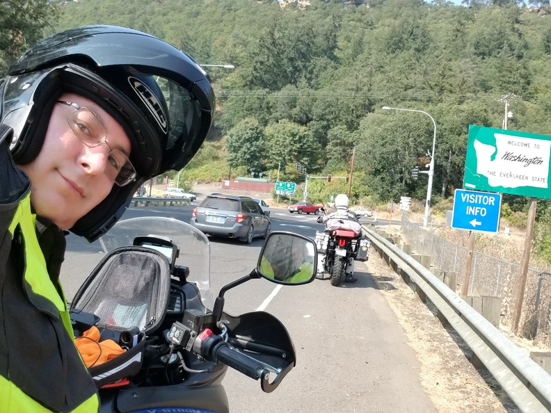
Most people, when they think of Washington, think of a place with mountains and evergreen forests. However, much of Washington is largely grassland, especially eastern Washington, which lies in the rain shadow of the Cascade Range. I did not see my first Washington evergreens until we got onto Miles-Creston Rd.

Miles-Creston Rd. dropped us onto Washington Highway 25. We made a quick stop at Fort Spokane, a former U.S. Army outpost located at the confluence of the Columbia and Spokane Rivers. Fort Spokane was the last frontier outpost built by the Army, and was used to keep a buffer between the native Coleville and Spokane tribes from the newly established city of Spokane, 50 miles to the east. After the Army moved out, the fort was used as a boarding school for native children and a tuberculosis sanatorium.

After leaving Fort Spokane, we headed north, finally stopping at the Hunters Campground outside Hunters, Washington. We got a site right on the shores of Lake Roosevelt, with a great view of the lake. Walking along the shores of the lake, I saw a few deer, and multiple flocks of geese. The hills on the opposite side of the lake were evidence of the glacial origins of the land in the area. The hills were made up of loose sandy material left behind after the glaciers melted.
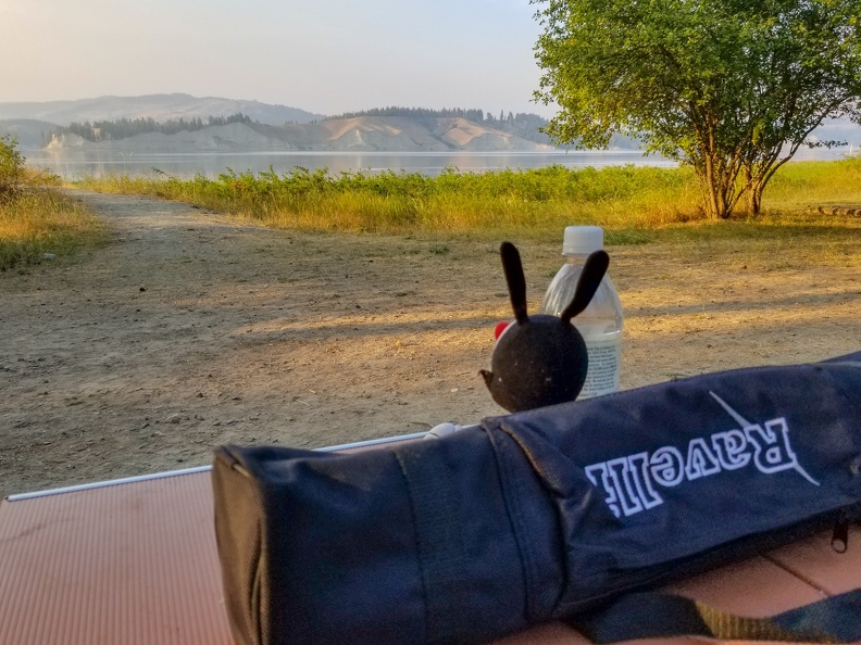
After sundown, I went and sat on the dock near the campsite and watched the stars come out. The smoky skies had cleared just enough to allow the stars to shine. If you keep looking up, you’re bound to see something special. I watched a meteor streak across the entire length of the sky from east to west.

Tomorrow, we cross into Canada.

Distance: 197 miles, 916 total.

Scott Goes International, Part 3

Day 3: August 20, 2018

Route: Maryhill, Washington, to Pasco, Washington

I awoke at the Maryhill State Park Campground to the sound of water being shot out of sprinklers at our bikes. They needed a wash anyway. I had a feeling sprinklers might come on the night before, and had wisely removed my riding gear off the clothesline and into the tent. Greg, on the other hand, had wet gear. I quickly re-aimed the sprinkler head away from the bikes and we went to work drying them off.

It was a smoky morning, blue skies had given way to dirty brown with an orange sun. Some might say it looked post-apocalyptic.

Made my coffee in my cheap Chinese Jetboil knockoff and then boiled some more water for oatmeal. I’ve never seen instant oatmeal go bad, but I think I had a bad packet. The “apples” had turned black. So much for breakfast.

We got on the road and headed east on Highway 14 toward Richland, Washington. Once at Richland, we had a choice to make. We both wanted to visit B Reactor in Hanford, part of the Manhattan Project National Historic Park. The problem was, there was only one tour a day on most days, and it was at 8 in the morning. We surely weren’t going to make it today.

A few miles east of Maryhill, we saw a sign reading “Stonehenge.” Odd, I thought Stonehenge was in England. It turns out the Maryhill Stonehenge was built in 1918 as a memorial to those who had died in World War I, most specifically those service members who were from Klickitat County, Washington. At the time the Maryhill Stonehenge was built, it was still believed that the original Stonehenge had been used as a site for human sacrifice. The designer of the Maryhill Stonehenge, Sam Hill, thought the replica was a fitting reminder that man was still being sacrificed to the god of war.

Maryhill Stonehenge had a great view of the Columbia River Gorge. I stopped and paid my respects to the fallen.

While walking around Stonehenge, I remembered I had brought a Geocoin with me. Geocoins are trackable items associated with Geocaching. I had picked the coin up near home, and I planned to drop it off at a geocache along my travels. As it turns out, there was a geocache at the site of the Maryhill Stonehenge. Greg helped me locate the geocache – his first – and I placed the coin inside for the next person to come along and move it.

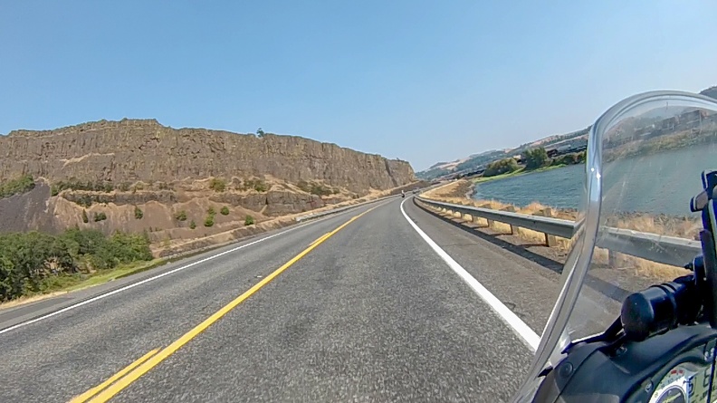
After a while at Stonehenge, we continued east. Highway 14, as opposed Interstate 84 on the opposite side of the Columbia River, followed the contours of the land instead of cutting right through it. The ups and downs of the land, and the twists and turns of the river, made for an enjoyable ride.

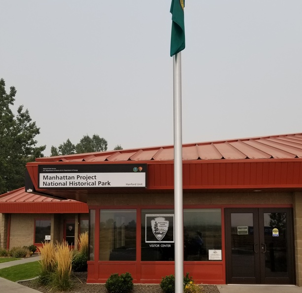
When we reached Richland, which was very smoky, we headed for the Manhattan Project NHP visitor center. The docent at the desk was happy to put us on the list for a tour the following day, so we had to make a decision. The tour would take a big chunk of time out of our day, and we wanted to get to Nakusp by the afternoon of the 22nd. In the end, we thought viewing an important part of history was worth the time.

So today ended up being a short day. We went ended up getting a site at the Pasco KOA campground. Because of the early day the following day, we didn’t even set up our tents, we simply put our sleep mats and sleeping bags on the ground. Tonight, we sleep under the stars – presumably, since we can’t see them through the smoke.


We took a little ride to a local fast food joint for lunch. Despite other mom-and-pop options being around, we also like to eat at places we don’t have at home. So Arby’s it was. Sitting in the air-conditioned restaurant was better than being out in the hot, smoky air. One thing though … what the heck is going on in Washington. Greg found a bag containing what appeared to be a white crystalline controlled substance on the floor in front of the register. Stay classy, Pasco! Last time I was in Washington, I found a similar bag outside a 7-Eleven. Do bags of drugs rain from the sky in Washington?

Distance: 133 miles, 719 total.
Controlled substances flushed: Approximately 1 gram. Drugs are bad, mmmkay.

Scott Goes International, Part 2

Day 2: August 19, 2018

Route: Newport, Oregon, to Maryhill, Washington

I spent the night on Steve’s couch with my leg wrapped, elevated, and heated. Woke up around 8 a.m. and found my leg to be feeling much better. It was still a little tight, but I could walk mostly without a limp.

After a cup of coffee Greg and I packed up our bikes, locked up Steve’s house, and hit the road. We headed east on US Highway 20 toward Corvallis. There was a lot of new pavement on a new alignment of the highway east of Newport.

Along the route east, we passed through many small towns – “Small-Town America,” if you will. Towns with only mom-and-pop businesses and no street lights.

Passing through the town of Lebanon, we saw a police officer standing on the side of the road talking to a guy who was sitting on the curb. Greg and I, being Deputy Sheriffs, both slowed town, turned our heads, and watched as we passed, just to make sure the officer was all right. Old habits take over.

We got onto Oregon Highway 226 and turned toward Stayton. The highway passed through a lot of farm land and followed the up and down contours of the land. When we turned onto Oregon Highway 22 toward Detroit we started seeing signs of a lumber industry that was still a major player in the area. We passed numerous mills and shops selling lumber, along with patches of forest that showed signs of recent logging.

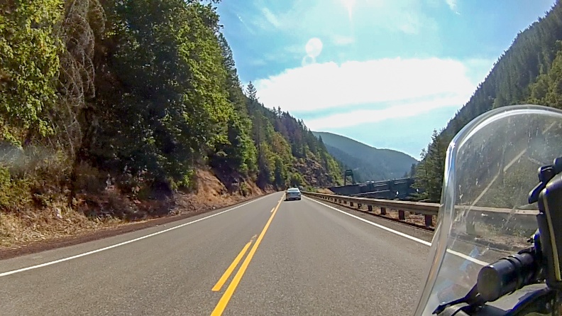
We entered the Santiam River Canyon and soon a dam came into view. It almost looked like the highway headed right for the Dam. The Big Cliff Dam, as it was called by large Art Deco letters emblazoned on the side, was a sign of a past time. The dam was built in the 1950s by the Army Corps of Engineers as part of the Willamette Valley Project. As it turns out, it would not be the only dam we would pass.

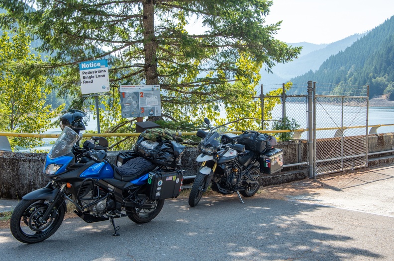
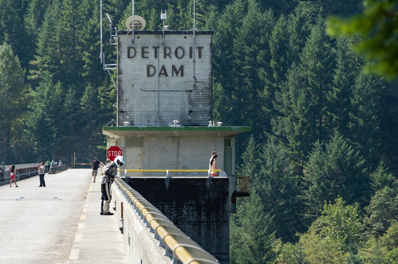
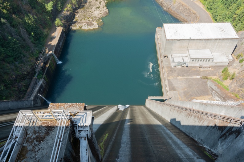
We soon arrived at Detroit Dam a few miles upriver from Big Cliff. We stopped to walk across the top of the dam. Detroit Dam was constructed around the same time as Big Cliff. It is 463 feet tall and impounds Detroit Lake. Several fishermen were lined up on the lake side of the dam.

We continued east and turned onto National Forest Highway 46 just east of Detroit Lake. NF 46 was recommended by Bruce, a neighbor of Steve, who had come to the house as we were unpacking the previous night. Bruce said the road was as good as any normal highway, but without the cars. It would be the best route for us to get to Hood River.


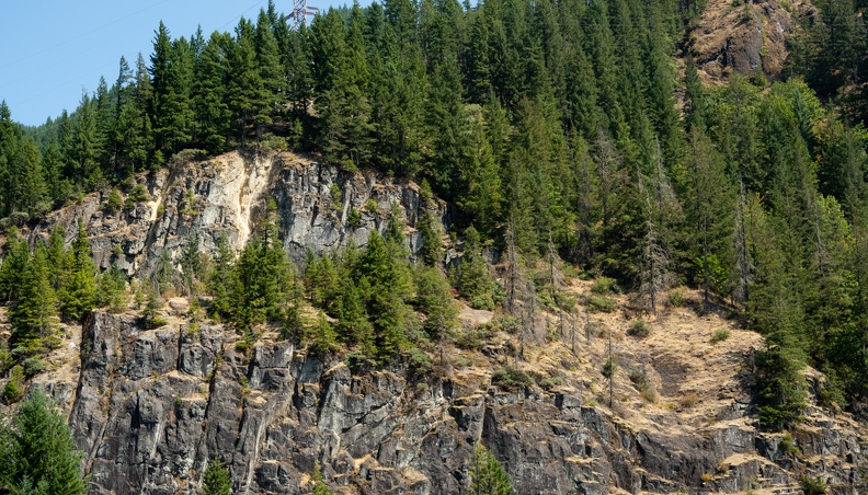
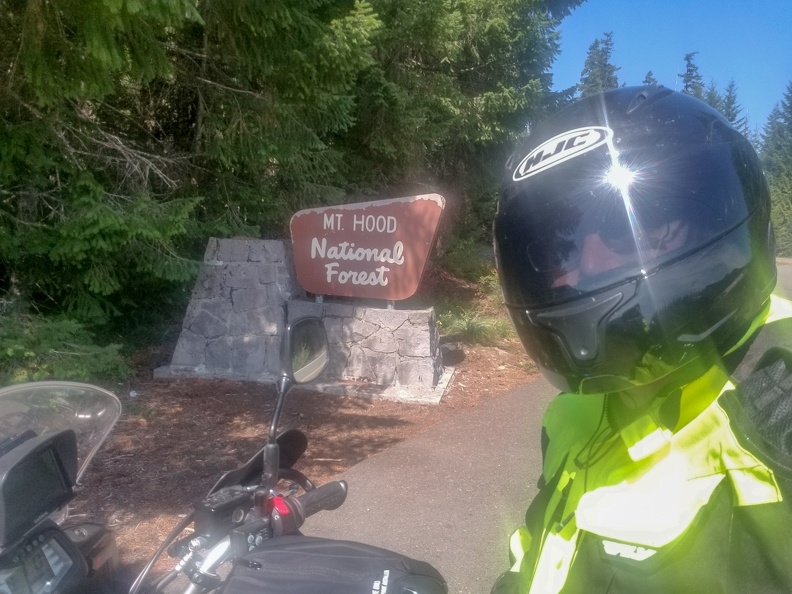
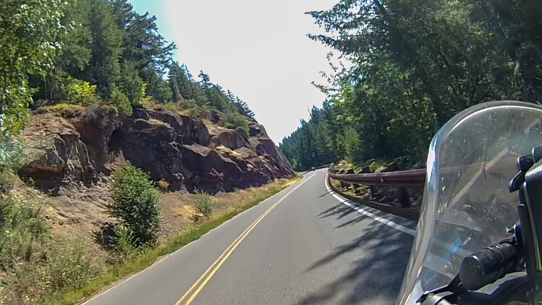
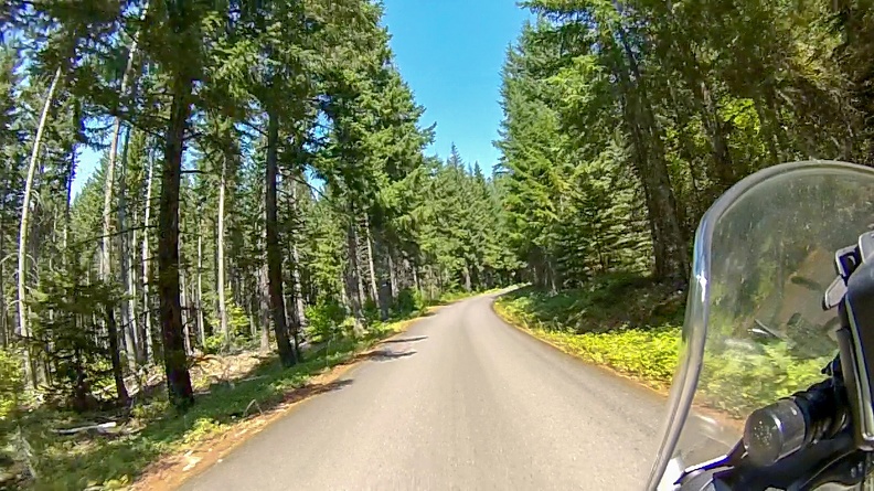
The road rose through the Mt. Hood National Forest. After about 30 miles, we turned onto National Forest Highway 42. NF 42 started out as a one-lane road, climbing up through the forest, eventually coming out at US Highway 26.

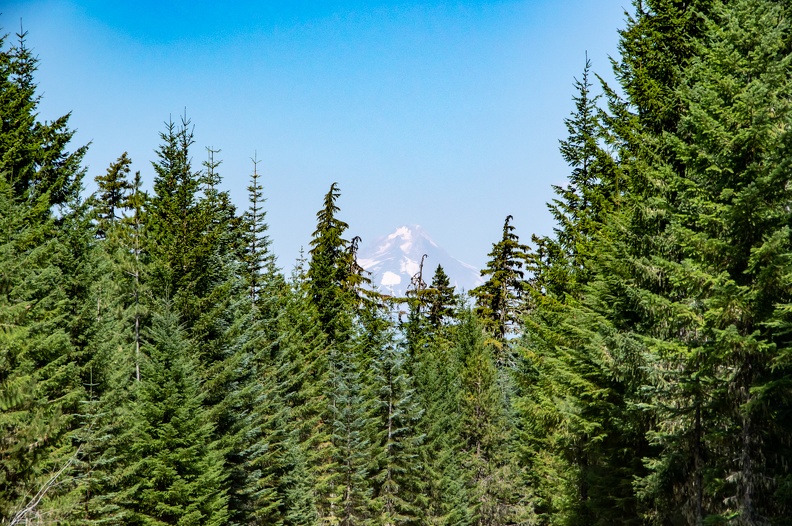
We crossed a wooden bridge that, although sturdy, looked like it had seen better days. As the road climbed into the mountains, we were greeted with many twists and turns, and very little traffic. Eventually we came around a bend and were blessed with a view of Mt. Hood through the trees.

Who could ask for a better view?

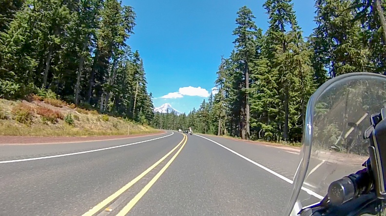
We turned onto US 26 and were given more views of the south flank of Mt. Hood. Despite all the fires across the northwest, we were lucky to see very little smoke throughout Oregon. After a few miles on US 26, we turned onto Oregon 35, which followed the east flank of Mt. Hood and dropped into Hood River.

After a stop to pick up food for the night in Hood River, we decided to cross the Columbia River and stop for the night on the Washington side.

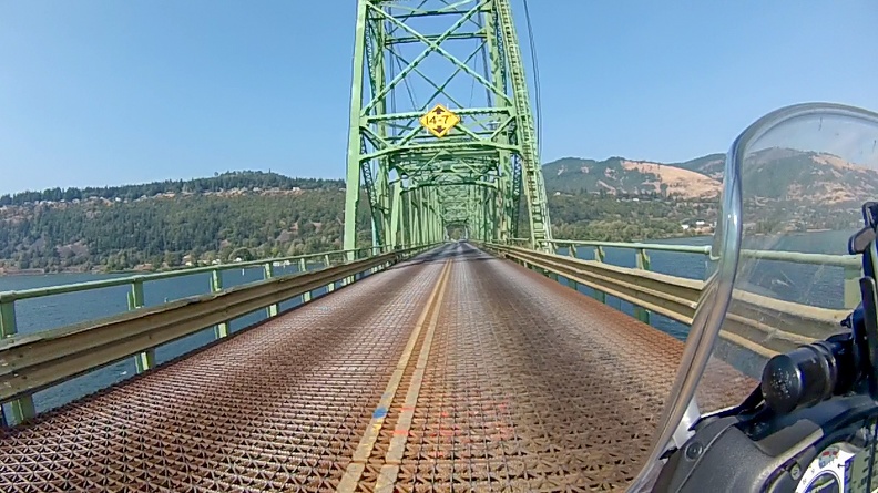
We crossed on the Hood River Bridge, a 4,400-foot steel truss vertical lift bridge with a steel-grate deck. The bridge was opened in 1924 and is the only crossing in the approximately 50 miles between Bridge of the Gods in Cascade Locks, Oregon, and the Dalles Bridge in The Dalles, Oregon.

This was my first time on a steel-grate bridge. I had heard about crossing them, and the tendency of a motorcycle’s wheels to wander with the pattern of the grate. Having to cross this bridge was a complete surprise for me. It felt strange, going over the bridge to feel the wheels wander without any input, but I made it without any issues.

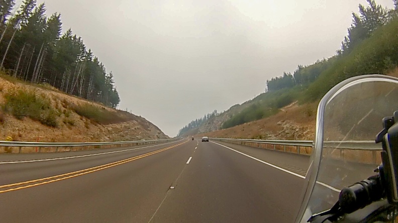
We turned onto Washington Highway 14 and headed east along the banks of the Columbia. Once in Washington, we started to pick up more and more smoke. It was quite a change from being on the Oregon side. Highway 14, though it was hazy and smoky, provided wonderful views of the river and the Columbia Gorge.

We made camp for the night at the Maryhill State Park Campground. The campground was right along the edge of the river. We set up camp, then went for a swim in the river. After a long, hot day of riding, the cold waters of the Columbia felt great. The cold was also a welcome relief for my tight leg.

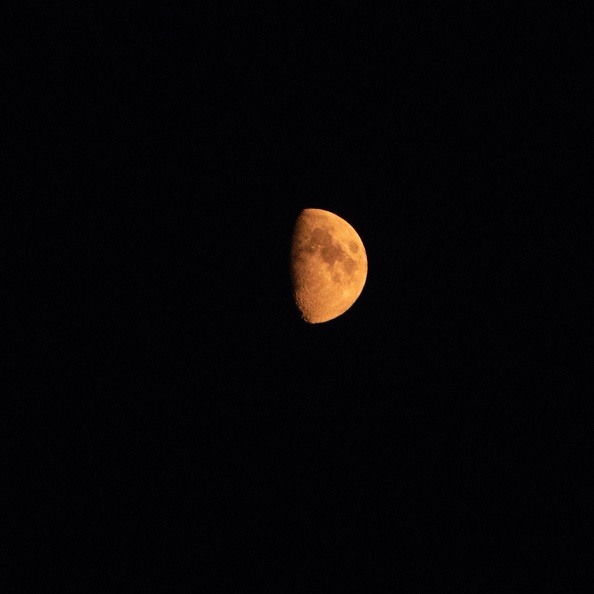
Went to bed under a moon that was red from the smoke. Today was a better day.

Max air temperature: 100 F

Distance: 280 miles, 586 miles total.

Scott Goes International, Part 1

This was my first international motorcycle trip. Our destination was Nakusp, British Columbia, for the Horizons Unlimited CanWest gathering. A result of a very generous and understanding wife.

I’ve already completed the trip, but I’ll be adding my daily reports as I complete them.

The Players:

Greg: A veteran traveler with trips to Alaska, Baja California, Thailand, and the American Southwest under his belt totaling more than 50,000 miles on his 2013 Triumph Tiger.

Me: Somewhat of a newbie. I started riding in 2015, and have mostly done just day rides, save for a weekend trips to Oregon and a trip to Horizons Unlimited California in Mariposa last year. I’m on a 2015 V-Strom 650.

Day 1: August 18, 2018

Route: McKinleyville, California, to Newport, Oregon

Today was going to be an easy start – a 300-mile ride up US Highway 101 along the Northern California and Oregon coasts.


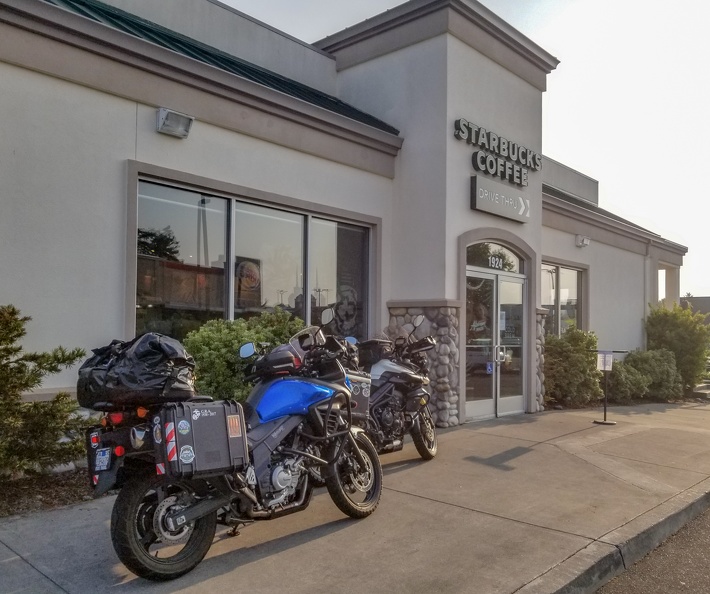
Like all good adventures, we met up at Starbucks, as is tradition. We fueled ourselves up with coffee and food for the ride ahead. Little did I know that today was going to be a strange sequence of events.

Prior to rolling out from Starbucks, I rearranged the luggage on the back of my bike. I had originally placed my Camelbak between my dry bag and me. This did not give me much room to sit, so I moved the Camelbak to just behind the dry bag, resting on the end of the luggage rack.


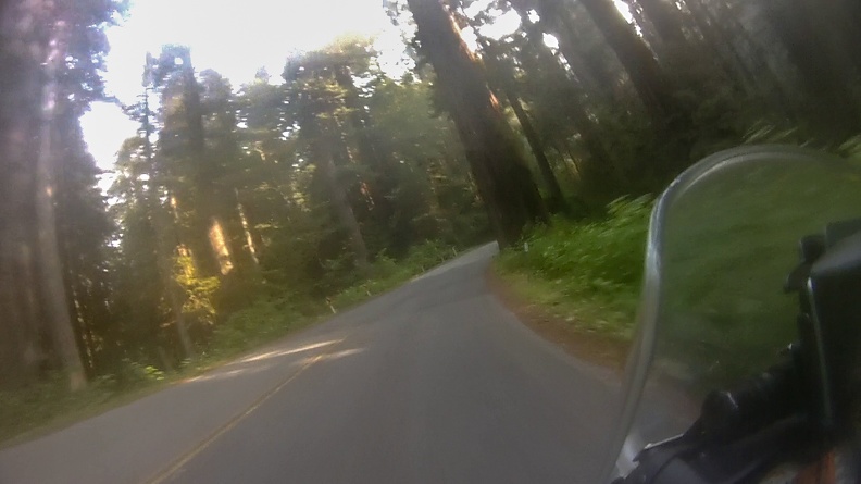
We rolled out and headed up Highway 101 north toward Oregon. This was a very familiar road to us, hugging the California coastline through Redwood National Park. We turned off onto the Newton B. Drury Scenic Parkway to ride through Prairie Creek Redwoods State Park. Drury Parkway is a former alignment of Highway 101. It is two lanes wide and winds through the majestic redwood forest. The parkway was bypassed in 1993 after construction of a longer, but faster alignment of Highway 101 with two lanes in each direction.

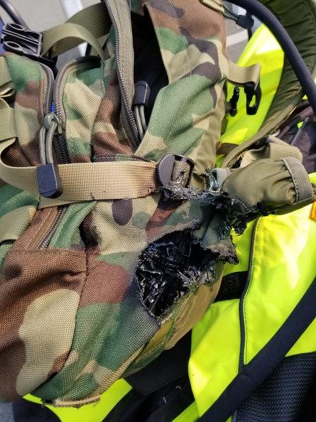
At Crescent City, we stopped for a bathroom break – you only rent coffee – and a stretch. As I came out of the gas station, I discovered my Camelbak had slipped off the luggage rack and had hung down behind the exhaust pipe. The hot exhaust had melted a hole into the corner of the Camelbak. I opened up the backpack and found that my rain suit had also melted, along with my windbreaker. Surprisingly, the water bladder was unharmed.


While readjusting my luggage to prevent further damage from hot gasses, a familiar-looking motorcycle pulled into the parking lot of the gas station. It turned out to be a co-worker of Greg and me. He was on his way back from a trip around Oregon and Idaho. We chatted for a bit and said goodbye to continue our travels.

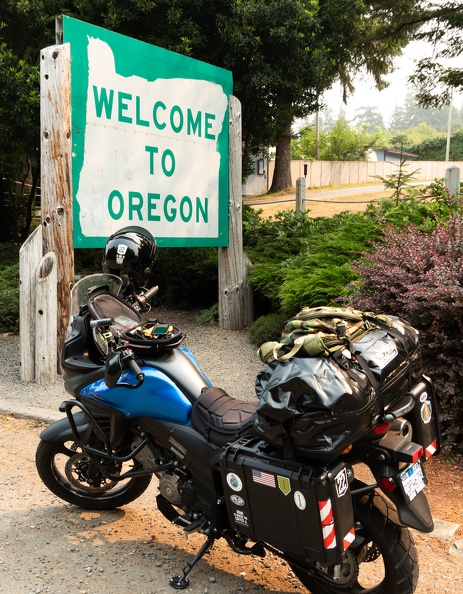
We rode north from Crescent City toward Oregon. To fully memorialize the trip, I got the bright idea to stop at the “Welcome to Oregon” sign for a picture. I pulled into the turnout and came to a stop in front of the sign. As I was nearly stopped, I didn’t pay heed to the loose gravel at the edge of the turnout and locked up my front wheel. My bike started to slip and I tried to catch it. I failed. I fell over and landed on the ground like a turtle stuck on its back. As I went down, I felt a sharp pain on the back side of my left leg. I was six feet from the sign and not even out of California, and I had hurt myself doing the simplest of maneuvers! I stood up and found it hard to walk or even put weight on my leg. My immediate thought was my trip was over before it began.

Greg saw my misfortune and had stopped, as did a couple going southbound on a Harley. They helped stand my bike back up. There was no damage, thanks to my crash bars, side cases, and hand guards. Well, that was good.

I walked around for a bit trying to walk the tightness in my leg away. I also took some time to sit and stretch. Eventually, my leg felt well enough, though still in pain, to get back on the motorcycle and keep going. We decided it would be a good time to stop in Brookings, Oregon, for a snack and a rest.

While stopped at the KFC in Brookings, I hobbled over to the Fred Meyer store across the street for some first-aid supplies. I picked up an Ace bandage to wrap my leg along with some heat packs for later. When I returned to KFC, after what seemed like an eternity on my bad leg, I wrapped my leg up getting a little relief from the compression of the bandage.

We gassed up in Gold Beach and continued up the coast. The winds picked up north of Gold Beach, which is typical for the Oregon coast. The winds weren’t too strong, but more of an annoyance to deal with for what would be the remaining nearly 200 miles. For those who haven’t been to Oregon, the coast is very beautiful. Highway 101 hugs the coastline, following beaches, sand dunes, and high cliffs from California to Washington.


Normally, I like to stop and take pictures when I travel. However, due to my accident earlier, it was hard to get on and off the bike, something I didn’t want to do repeatedly, so I didn’t stop. I really just wanted to get to Newport to relax my leg.

Things started to take another strange turn.

Greg had arranged a few weeks prior to our departure to stay with a friend, Steve, who lives in Newport. Steve said it would be no problem for us to crash at his place for the night. At various places we stopped along our way, Greg was getting odd messages from Steve … “Just had lunch in Brookings and getting that last good gas before California.” … “Got room for another rider on your couch?” … “Just passed Redwood National Park.” …

Greg wasn’t able to get any response from Steve as to what he meant by the messages. It sounded like Steve was going south, while we were going north. We made a stop for gas in Florence and we came to the realization that Steve might not be home when we got there.

Facepalm.

Greg decided we would go to Steve’s house to see if he was home and just messing with us, or if we’d need to find a campground. We got to Steve’s house and discovered he was not, in fact, home. Steve had gone south to stay at Greg’s house. It was not a problem though. Steve is a stand-up guy, and always looks out for other motorcyclists. Steve let us know where he kept a spare key and let us stay at his place anyway. I guess that’s a win.

I rested my leg and put a heat pack under it, which helped out a lot with the tightness. It appeared my leg would be OK, and I could keep on going.


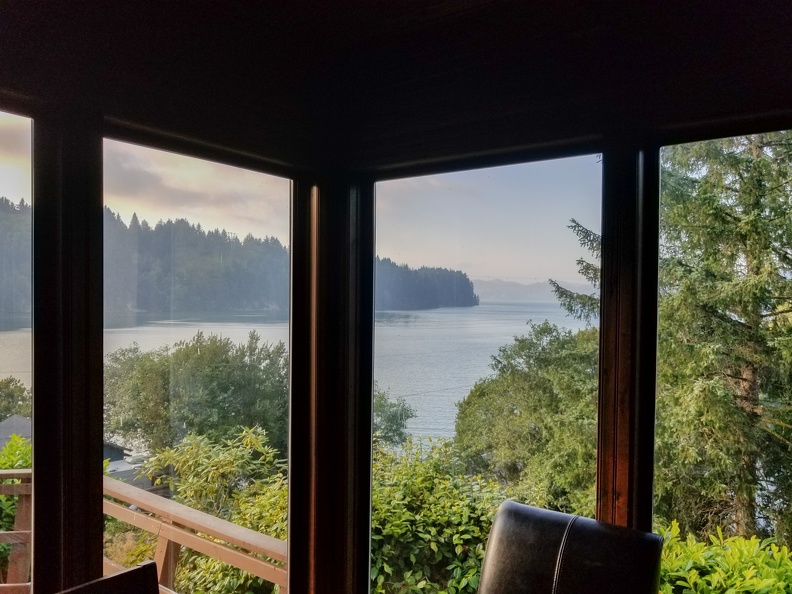
I enjoyed the view from Steve’s living room while enjoying a delicious pizza dinner.

After such a strange day, I hope tomorrow is better.

Distance: 307 miles.

Gravity: 1, Scott: 0

Curacao Day 4

The great thing about vacations is you don’t have to have a schedule if you don’t want to. We got up late again today. There’s something really nice about sleeping in.

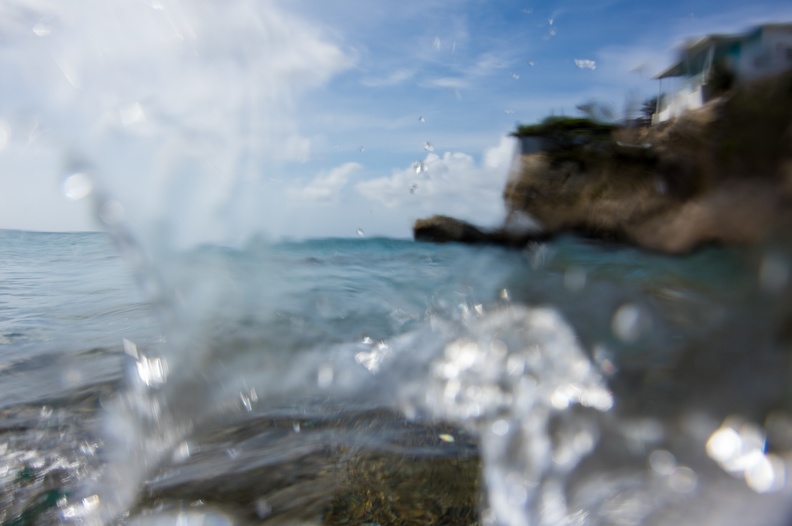
We checked out a restaurant in the Pietermaai area of Willemstad called the Scuba Lodge. Reviews told us the breakfast there was really good. When we arrived, we were greeted with seating that was mere feet from the ocean. There’s something nice about watching the waves crash in front of you while enjoying your coffee.

Despite the toast being hard, breakfast was really good. Some place we would definitely try again.

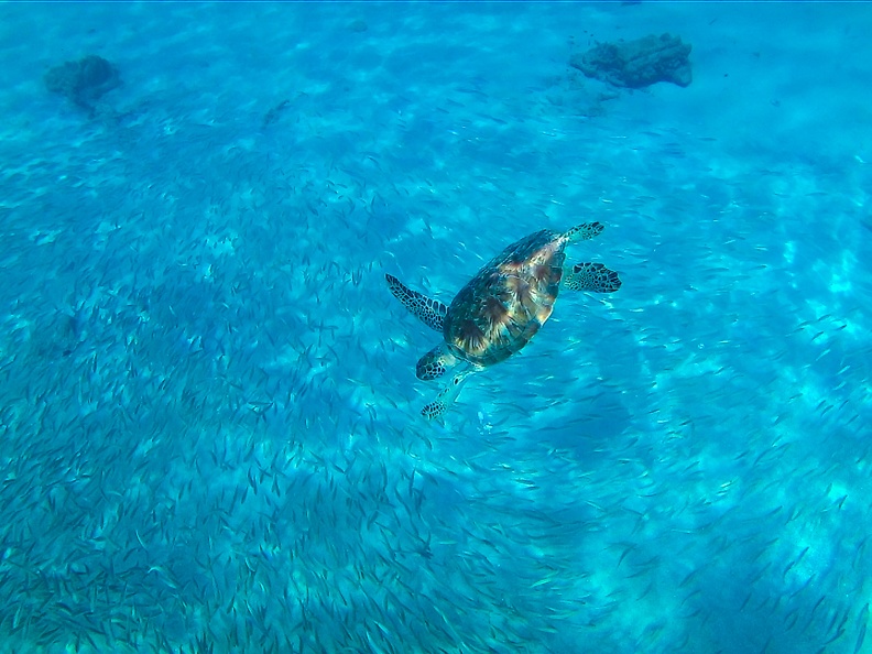
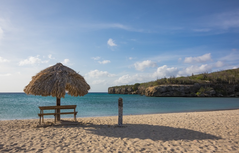
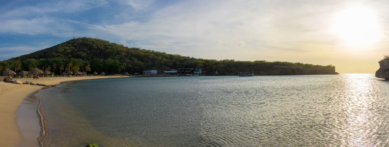
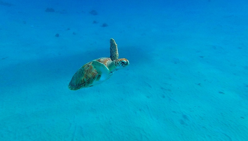
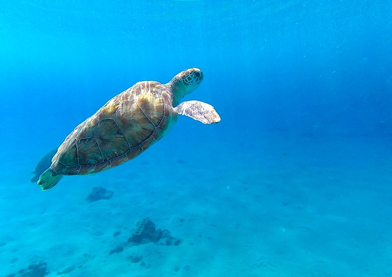
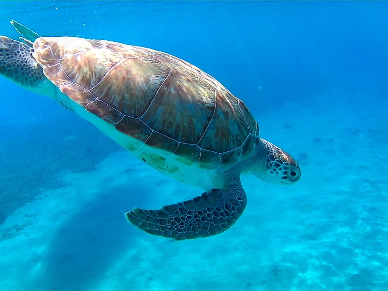
We decided to head back to Westpunt in the afternoon to snorkel at Playa Grandi. We heard Grandi was a great place to see turtles while you swim. We were greeted by many turtles, drawn to the area by the arriving fishermen who were discarding their trimmings over the side of their boats. The turtles are so graceful and did not seem to be afraid of humans. Though I didn’t try, it seemed you could reach out and touch the turtles.

Though I did my best to avoid the sea life, it seems they didn’t play by the same rules. I got stung by a jellyfish. Ouch!

Alicia, as we all know, she likes to talk to strangers. She struck up a conversation with Ard while on the beach. Ard worked for Sea Turtle Conservation Curacao. Ard was at Grandi checking on the turtles, making sure they were healthy and uninjured. Ard told us he was heading to another beach to look for more turtles. Ard had heard a turtle at the other beach had gotten stuck with a fishing hook and he was going to make sure no other turtles were hurt. Alicia asked Ard if we could come along to watch him look for the turtles. Ard was fine with it and said we could help him if we felt so inclined.

We headed for Santa Cruz Beach and me Ard and two other conservationists. Flowing into the bay in front of Santa Cruz Beach was an estuary leading to a lagoon. Ard’s plan was for Alicia and me to walk the estuary, making noise to cause the turtles to move toward the bay. Ard and the other conservationist would wait where the estuary met the bay and count the turtles as they swam past. Ard managed to spot five turtles, but he was not able to tell if they were injured because the water was so cloudy. Nonetheless it was fun to help. We are all about doing things on our vacation that are outside the ordinary.

We had dinner at Azzuro at Blue Bay. Azzuro was a fancy place that was on the jetty separating Blue Bay from the ocean. I had carbonara that was wonderful! For dessert I had some tiramisu that left a little to be desired. Tiramisu should be a little more than a martini glass filled with lady fingers and whipped cream.

Back at the apartment we got to Skype with the boys. Due to the time difference, it was difficult to catch them. Grandma told us the boys missed us a lot and they were delighted to talk with us.

After a few days with no bugs, we found a dead roach in our room. We were hoping it had just wandered in from the outside while we had the patio doors open. It made us contemplate going home early again. Being told of a $200 change fee put a quick end to that thought.

Back in the USA we take for granted certain things, like decent bathroom plumbing. For some reason, we weren’t allowed to flush toilet paper in this modern apartment. It seemed weird to us that they would rather we toss our used toilet paper in the trash. Wouldn’t the smell of old toilet paper be more of a concern?

Good thing there are two bathrooms in the apartment.

Curacao Day 3

Sunday November 12

Woke up again around noonish and headed down to the beach for breakfast. I got a hard boiled egg with my breakfast that was without a yolk. That was somewhat strange. The coffee was very good for restaurant coffee. I guess they take their coffee seriously in Curacao.

We decided to head into Willemstad to check out the city. We arrived in the main port area of the city and found there was a cruise ship making a call. This meant that even though it was Sunday, most of the businesses were open. The waterfront was filled with the normal tourist shops offering t-shirts, ash trays, shot glasses, and other assorted wares emblazoned with “Curacao” on them.

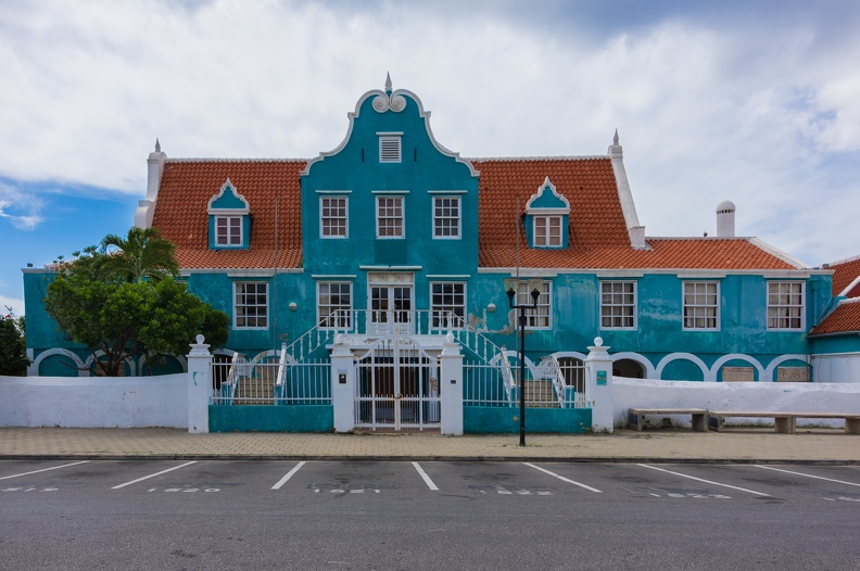
We took a walk across the Queen Emma Bridge that crosses from the area of Willemstad called Otrabanda to the section known as Punda. The Queen Emma Bridge is a pontoon bridge that was originally built in 1888. The entire bridge spans St. Anna Bay and swings open on a pivot to allow ships to enter. Walking across the bridge, you had no doubt that it was floating, as you could feel it rise and fall.

While walking around Otrabanda, I found a Starbucks and gave it a try. There was something different about the coffee that I couldn’t quite describe. The flavor was different from Starbucks coffee in the US. I rather enjoyed the flavor.

I tried to find the police station in Otrabanda so I could make a trade for one of their patches. One of my hobbies is collecting patches from police departments in the places I visit. Unfortunately for me the police station was closed. It would be a quest to save for another day.

With no set plan, we didn’t know what to do. We decided to head up to the area near the airport to visit Hato Caves. The caves are limestone caves similar to ones you would see in many other places around the world. There were many cool formations inside and I managed to sneak some pictures despite being told they weren’t allowed. I’m such a rebel.

I’ve been to a few tour caves before and one thing they had in common was they were always cold inside. The Hato Caves were quite different. It was actually really warm inside them. So much so, that they had several large fans positioned around inside to keep the air flowing through them so they didn’t get hot. The tour guide said limestone is very good at absorbing heat, so without much earth above the caves, they get very hot.

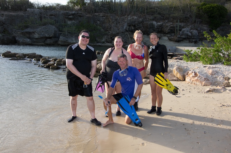
Getting back into an air-conditioned car after visiting the caves was a welcome treat. We decided to head back to Blue Bay for a dip in the ocean to cool off. I once again brought my snorkeling gear with me. I headed about 200 yards out from the beach and swam around the edge of the breakwater. From the breakwater, I could see how the sea floor dropped off past it. The clear water faded into darkness.

After snorkeling we went back to the apartment to rinse off before going to dinner. We chose one of the restaurants at the resort called Pictures. I had a pepperonit pizza that was very good, despite the crust being like a cracker. I can’t believe I ate the whole thing. Alicia had what had to be the smallest beef tenderloin I had ever seen. The restaurant was open to the outside, so I made sure to wear bug repellant. Unfortunately, the bugs in Curacao seemed to be immune to Off, so I was constantly swatting them away.

Back at the room, we decided to stay in and watch some TV. At the same time, we tried to cool the apartment down. Electricity is apparently very expensive on Curacao, so there were only air conditioners installed in the bedrooms. This led to a problem of the kitchen and living area getting very warm. The owner of the apartment was kind enough to leave an oscillating fan, but it didn’t do much other than move the hot air around. I got the idea of opening the door to the bedroom just off the living room and turning on the AC. I then put the fan in front of the door to blow the cold air out into the living room. This actually worked fairly well and the living room eventually got to a comfortable temperature.

Flipping through the channels on the TV in the apartment, I found many of the typical cable or satellite channels you would have in the US. They were, however, geared toward Latin and South America. I managed to find a baseball game! I had no idea what the announcers were saying, or who the players were because it was the Venezuelan league, but baseball is baseball.

After a while, we got a late hunger attack. We noticed a Pizza Hut on the map and decided to give it a try. We left Blue Bay for the drive to Pizza Hut a few miles away. It did feel a bit strange leaving the resort at night to go to a local place. But why did it have to feel strange? It seems we’re taught that it is unsafe to go out at night in foreign countries. That’s when bad things happen. If it’s not safe, then why do the locals go out at night? We don’t think twice about going out at night when we’re at home. In talking with other people who travel regularly, I’ve come to the conclusion that people are inherently good, and why should we feel any different about doing things that the locals regularly would.

On the way to Pizza Hut, we passed by a baseball field. It was 9 p.m., but there were still people out there playing. Jokingly, I said we should stop to watch or see if they’d let me join in. Alicia, ever adventurous, was up for it. Unfortunately, Pizza Hut was close to closing, so perhaps another time.

Surprisingly, the pizza from this Curacaoan Pizza Hut was really good. The white sauce had a different flavor from the Alfredo sauce they use at American Pizza Hut. They also use Gouda cheese in addition to the normal mozzarella cheese. I thought the flavor was much better than the pizzas they sell in the US.

Today’s lesson: Get a little out of the comfort zone and don’t be afraid to go out an about when you normally wouldn’t. Also, people in different parts of the world have different tastes, try the “normal” things, they might surprise you.

Curacao Day 2

November 11

After the debacle that was night one, it was good to just get some sleep. We slept until after noon. Luckily the room stayed cool and comfortable. Sleeping in the heat and humidity just would not have made for a good night.

Making the most of our trip, we decided to stay at the resort for the day and see what there was to offer. We headed down to the beach, only a couple hundred yards away for lunch and a swim.

The restaurant had a good selection of lunches and I opted for the pulled pork sandwich. I was surprised it was not just an attempt to be “American” by slathering the pork with barbecue sauce. No, no, no. The pork had what I could best describe as a “Caribbean” flavor to it. I’m not sure how to explain it, but I could taste the seasonings used by the Caribbean restaurant back home.

After lunch we headed to the water to play with our snorkels (and my underwater camera). Only a few yards out from the water’s edge were a plethora of fish. I’m not an ichthyologist, so I can’t tell you what they were, but every color of the rainbow appeared to be well-represented. I had gotten a full-face snorkel mask specifically for the trip. I figured it would work better with my contact lenses, and would make for easier breathing. I was right. I could just breathe normally, without having to have a snorkel mouthpiece in my mouth. The only downside was the snorkel tube wasn’t very long, so I had to stay very close to the surface.

Jail fish?
These guys were all over!

While taking a break from swimming, I instantly noticed something. We had picked a destination with very few Americans. Nearly everyone we met was from Europe – mostly the Netherlands and Germany. I guess with Curacao being a part of the Kingdom of the Netherlands, it’s a fairly easy trip for them. However, we did run into a group of guys from Philadelphia while at the beach. As it turned out, they were our downstairs neighbors at the apartment. They were very glad to get away from the cold and hang out in the sun for a while.

Things were already looking better. After all, the room was just a place to sleep and hold our stuff.

We took a drive to Westpunt on the (surprise!) west part of the island. Nothing is really too far away in Curacao, seeing as the island is about 35 miles by 7 miles. On the way, we observed more crazy driving from the locals. We took advantage of the convertible we had rented and put the top down. Wouldn’t you know it we ran into some rain on the way. Oh well, you only live once! It only rained for a minute anyway and we shared a laugh about it.

Craaaaaazy!

We found a little restaurant we had heard about online called Sol Food. The restaurant looked like it was in a bad neighborhood – bars on all the windows, people giving you side glances. When we arrived, we were a bit confused because our GPS put us in front of a house. The GPS was right, though. The restaurant was behind the house. Sunshine, the owner, built the restaurant literally in her back yard.

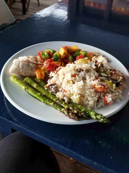
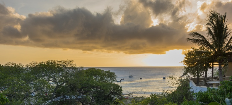
The food at Sol Food was great! I had some snapper with rice. The view couldn’t be beat either. The restaurant was on a bluff overlooking a beach, and we were able to watch the sunset.

Delicious

Alicia, as usual, struck up a conversation with a Canadian couple during dinner. Actually, they lived in Canada, but he was from the United Kingdom and she was from South Africa. They were regulars at Sol Food, and visited Curacao often. I’m not one to talk to strangers, but I’m glad Alicia is because meeting new people is actually fun. Little did we know this couple would come into play later in the week.

On the way back to Blue Bay we stopped at a grocery store. I don’t know why, but I’ve never seen a grocery store in any of the places I’ve traveled outside the US. It seemed weird walking into a store that looked like any other supermarket back home, except the labels were in a different language.

Say what? It’s oxtail soup.
Avocado with bananas for scale
“American” pancakes. What makes them American?

We picked up a few provisions for the room and headed to Blue Bay for drinks and snacks on the beach.

Maybe this will all turn out OK.

Curacao Day 1

At long last, I’m finally getting around to writing about my trip to Curacao. Strap in and enjoy the ride.

Friday, November 10, 2017
San Francisco, Calif. to Curacao via Miami, Fla.

Normally we go on cruises for our vacations. Cruises are fun – all your travel, lodging, entertainment, and dining are housed together in one self-contained metal container. However, after 10 years of cruising together, we wanted to try something else for our anniversary.

We planned to fly to a tropical destination and spend a week there rather than moving daily from port to port. Originally we had planned to take a trip to Saint Maarten; however 2017’s hurricane season had different plans. In August, Hurricane Irma formed in the Atlantic and nailed Saint Maarten head on. The airport was heavily damaged and much of the island was destroyed. After some further research, we chose to give Curacao a try.

Curacao is an island in the southern Caribbean, part of the Lesser Antilles. Curacao is a part of the Kingdom of the Netherlands and sits about 40 miles north of Venezuela. Our research showed English was widely spoken, and they readily took American dollars – always a plus on vacation. After some hurdles, we changed our flight and lodging reservations.

On the day we were to leave we got up at 5 a.m. to catch the shuttle to San Francisco International Airport. Our shuttle driver did his best to get us to the airport in a timely manner, pressing the petal to metal, redlining the engine several times.

As usual, there was a long line at the airport to get through security. As usual, Alicia struck up a conversation with a random stranger. We talked to a nice Finnish lady who was on her way home. As Alicia and Finnish lady talked, I saw several salespeople from a company called Clear trying to entice travelers with being able to skip the line. All you had to do was give up all your personal information for a background check and you get to zip through security, all for one low annual fee.

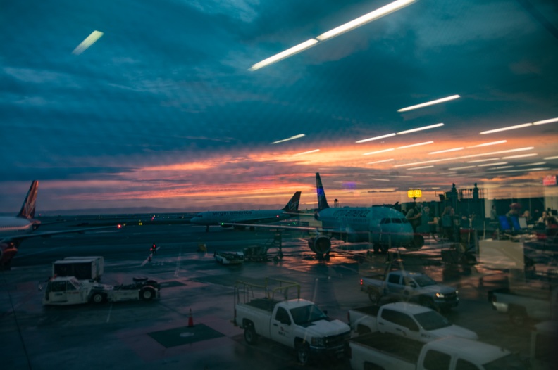
Sunrise over SFO
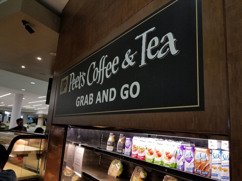
Must. Have. Coffee.

I’ve been flying since I was a kid, and I’ve noticed a change in the way people dress to fly. Flying used to be something special. People used to dress nicely to get on a plane. Now, the uniform of the day looks like pajamas. When did the magic of flight, become something we take for granted?
Airlines even nickel and dime you for almost every little thing now! You have to pay for your bags to fly with you; you pay for snacks; you pay extra if you want to make your reservations over the phone; some airlines even make you pay to use the overhead bin if you buy a certain discounted ticket! Something special in the air indeed!

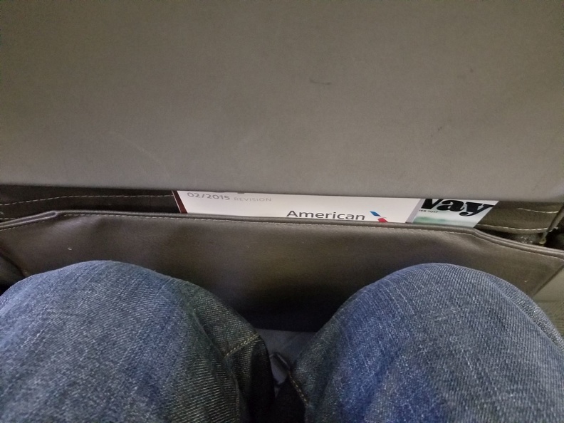
If that wasn’t bad enough, the airlines pack you on the plane like sardines. They’ve adjusted the distance between seats to the bare minimum, simply to fit one extra row in the planes. When I finally got seated, I had about one-half of an inch between my knees and the seat in front of me. At least I had room on the sides. We thought ahead and bought the seat in between us for the extra arm room.

Tight squeeze

The flight to Miami was nothing to write home about. I got within a few pages of finishing Mark Kelly’s book Endurance. All I had to do was spend six hours on a plane. He spent a year on the space station! One thing I did notice was how loud the plane was. We were on a 737-800 – Boeing’s quietest 737 ever – you could have fooled me!

In Miami we had burgers at Shula’s grill while waiting for our next flight. After eating, we discovered that Miami’s airport is huge! We walked for 15 minutes and still had not arrived at our gate. It was then we discovered there was a train that ran the length of the terminal. Why had nobody told us about that?!
The bun is branded in case I forget where I’m eating
Very Miami Customs and Border Protection golf cart
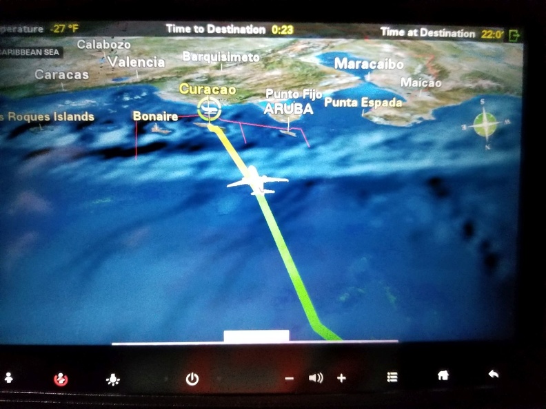
Almost there!

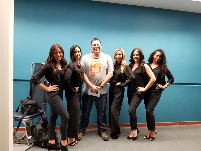
While waiting for our flight to Curacao, I noticed a large group of very lovely ladies waiting around the gate. They all appeared to be dressed the same: black suit jackets and slacks. Who were these people? Alicia once again talked to strangers in line and we found out they were the Miami Dolphins cheerleaders! Lucky us! It turned out they were on their way to Curacao, where there is a USAF base at the airport. The cheerleaders were going to be doing a show for Veterans Day. Not wanting to miss an opportunity, Alicia persuaded them to take a picture with me once on the ground in Curacao.
Is it odd that I’m wearing a San Francisco Giants shirt while posing with the Miami Dolphins cheerleaders?

We picked up our rental car and headed out to the mean streets of Curacao to find our accommodations for the week. As I’ve noticed in other countries – Mexico, I’m looking at you – speed limits and rules of the road are merely a suggestion. Drivers just drove wherever there was an open space for a car. I’m used to lane splitting on a motorcycle, but I’ve never seen it done by a car!

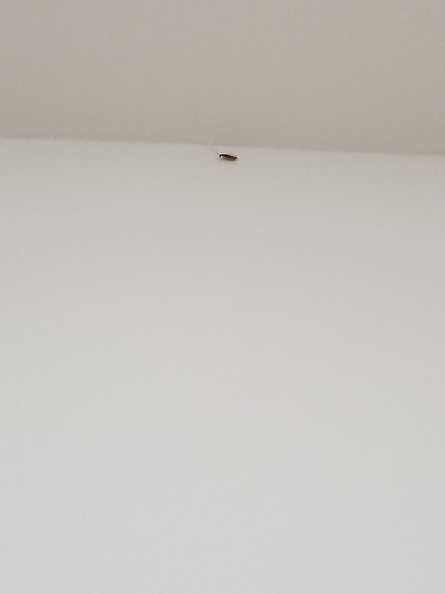
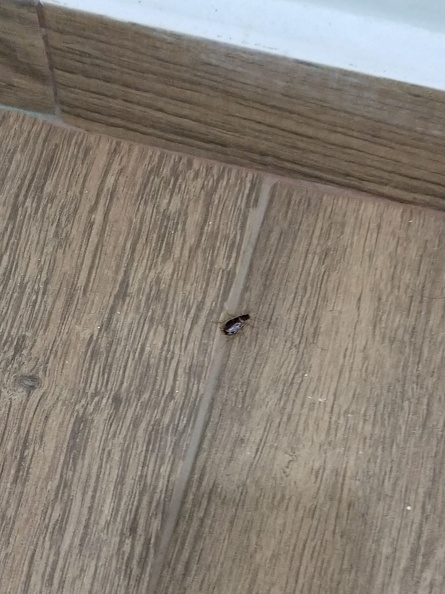
Once we reached the Blue Bay Resort where we had rented an apartment through AirBNB we hit the first, and hopefully only, snag of the trip. We found cockroaches in our room – GROSS!!! Not the way to start our Tenth-Anniversary trip. The apartment manager was not much help. She did not seem concerned there were roaches in their fancy new apartment.

Roach
Roach

By this time, it was close to midnight and we were starting to get hangry. We headed out to find food and to figure out what we would do. Fortunately, we found a little taste of home. We found a Denny’s.

This Denny’s was right next to a casino, and instantly looked really sketchy when we pulled up. Yeah, yeah. It’s a Denny’s. Isn’t sketchy part of the experience? Well, maybe, but I’ve also been to some non-sketchy Denny’s.

While sitting inside Denny’s, watching the sketchy people inside and outside, oh, and the armed guard by the door, we actually pondered flying back to Miami and spending the week there based on our first impressions of Curacao.

Alicia made some phone calls, and talked to some of the locals, and she talked to the apartment manager about the bug issue. We drove back to Blue Bay to meet with the manager again.

While on the way to Blue Bay, we got some more fine examples of the local driving. We nearly got hit by what looked like a drunk driver! That would have been such a downer.
Alicia spoke with the airline about changing our departure and found it would cost a lot. I called the Hilton about getting a clean hotel room and found out it would cost a lot. Maybe we’d just have to tough it out.

We spoke with the manager, who assured us, roaches had never been a problem, but they might have found their way in during some recent rains. She offered to move us to their upstairs apartment in the same building. We inspected the apartment and found it to be bug free.

At least there was WiFi. I chatted a bit with my friend Greg, no stranger to sleeping in foreign locales having recently gone to Thailand and Mexico. His advice, “Just roll with it and make the most of it.” An outside voice can often have a calming effect.

Maybe this will work out after all.

Beauty In Your Backyard

Sometimes you don’t have to go far to find amazing beauty. Often it is in your back yard.

I’m very fortunate to live very close to Redwood National and State Parks – more than 139,000 acres of old-growth Coast Redwoods situated on the North Coast of California. The parks contain 45 percent of all remaining old-growth Coast Redwoods. There are also miles and miles of rugged coastline and grassland prairies.

While on a recent day drive to Crescent City, I took a detour off Highway 101 before reaching the town of Klamath. The side drive, known as Klamath Beach Rd. follows the Klamath River into the forest. Klamath Beach Dr. intersects with Coastal Dr., which used to be a part of Highway 101, until the bridge over the Klamath River was washed out during the flood of 1964.

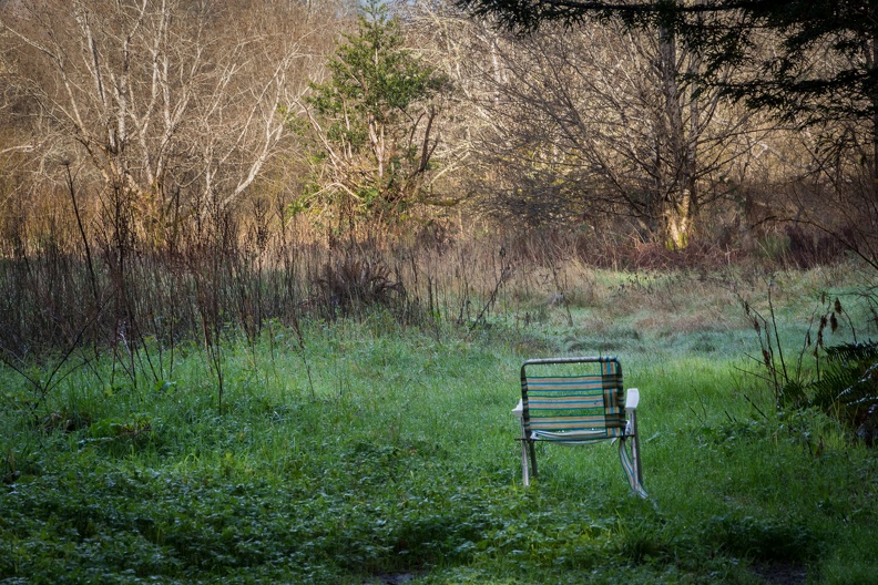
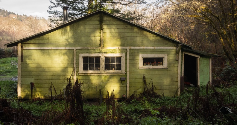
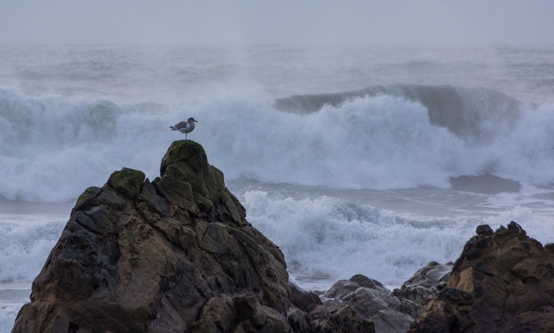
Coastal Dr. loops around the peninsula created by the path of the Klamath River as it enters the Pacific Ocean. The road turns into a one-way dirt road with stunning views of the ocean. On this day, the waves were high due to an incoming storm. On the return portion of the loop, I located a solitary folding lawn chair in a clearing containing an abandoned house that was slowly being reclaimed by the forest.

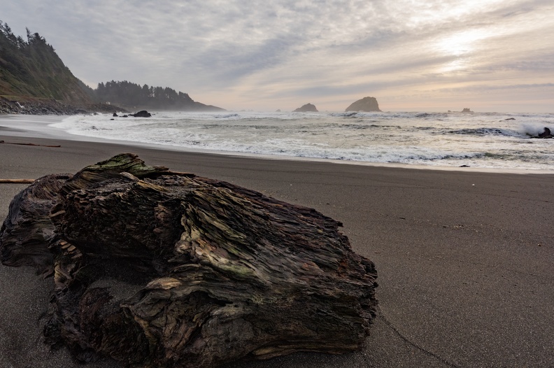
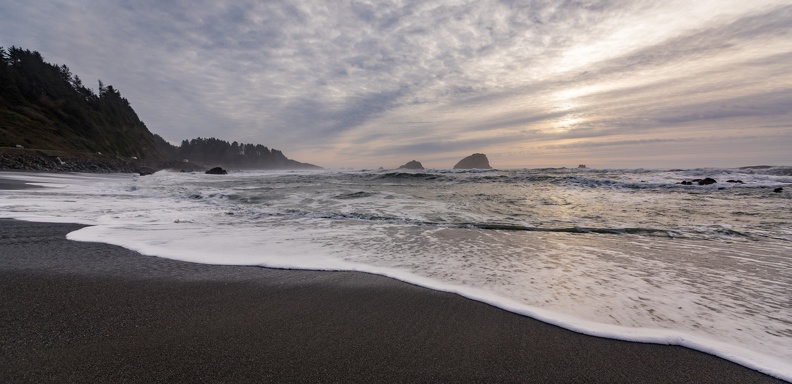
After spending a couple hours in Crescent City, I started back toward home. I stopped at False Klamath Cove to watch the surf and sunset. The immense waves crashing over the rocks dotting the coast just off the beach gave you a great idea of the power of the ocean.

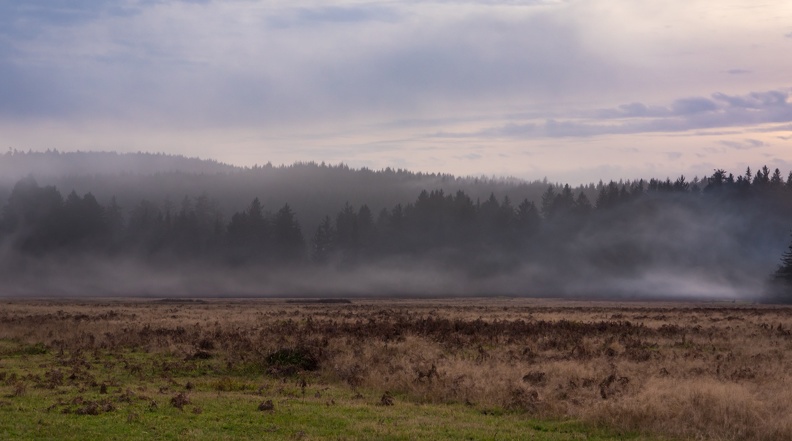
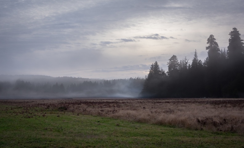
I finished the trip by turning off Highway 101 again to take the Newton B. Drury Scenic Parkway. NBDSP is another former alignment of Highway 101 and passes through Prairie Creek Redwoods State Park. The road winds its way between towering redwoods and fern-lined cliffs. The south end of the parkway passes through Elk Prairie. I didn’t see any of the elk, but there was a nice layer of fog hanging over the prairie.

Though often overlooked because it’s so close, beauty is out there in your backyard.

Picture of the Week – Music

There’s an ongoing thread over at Stromtrooper.com called the Motorcycle Picture of the Week. The rules are rather simple: post a picture of a motorcycle you own that fits the week’s theme. Each week has a new theme, and at the end of the week the participants vote on their favorite. The winner gets to pick the new theme.

This week’s theme was “Music.”

This is a mural titled “Arkley Performing Arts” by Randy Spicer. It’s on G St. between Fourth and Fifth Streets, facing the Arkley Center for the Performing Arts.