Carrizo Plain National Monument to Vandenberg AFB SFB
The next morning I was up with the sun – at about 6 am – and there was no going back to sleep for a little while longer. I made my coffee, packed up, and headed out while there was still a haze hanging over the valley.
I stopped for breakfast – a proper (non-instant) coffee and a croissant – in Santa Margarita. I caught up on the morning’s news with the cell service, then got back on the road.
In San Luis Obispo I took a turn onto Prefumo Canyon Road to add some excitement that wasn’t the highway. The road left the outskirts of SLO and climbed into the hills west of the city. The road followed a ridge where I could see views of Morro Rock and the Pacific Ocean off in the distance.
After exiting through See Canyon, I took a wrong turn – are there wrong turns when you’re riding? – and went into Avila Beach. Running low on gas, I looked for a gas station but couldn’t find one. I made my way back to Highway 101 and continued south, finding gas in Pismo Beach.
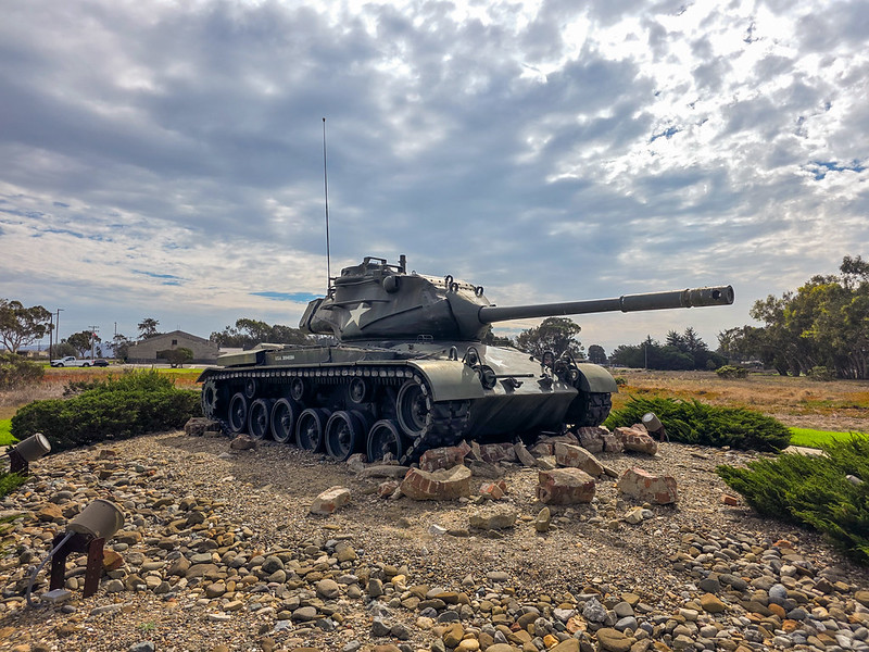
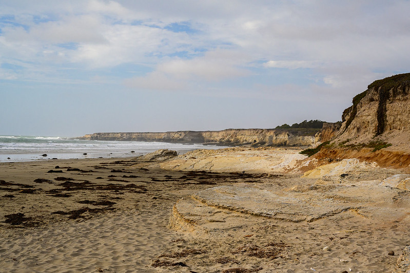
I arrived at Vandenberg AFB SFB in the early afternoon and checked into my campsite at Wall Beach. There was a wall separating the campground from the beach. It was a nice touch to block the wind off the ocean. I wondered if this was another case of the military giving things uncreative names. There’s a wall! We’ll call it Wall Beach. In this case, the answer was no. The beach is named for the “wall” of cliffs above the beach.
After sunset, I discovered I was the only one at the campground. That was pretty nice, and quiet. The ocean view and sounds of the waves was well worth it for only $15 a night.
It was windy all night, but not so much that it was annoying.
I woke up early again the next morning. The constant wind out of the north kept the fog and the rains from Hurricane Rachel away. However, all the weather apps said I would run into rain as I got closer to home. I figured it would be better to get on the road early to try and beat most of the rain.
I stopped for coffee and gas in Lompoc, then continued south.
Crosswinds were whipping down the coastal mountains along Highway 101 as I continued toward Santa Barbara. Rachel was affecting the coast in many ways, despite being hundreds of miles south. I could see many beaches were covered by higher-than-usual water.
After expecting to ride most of the day in the rain, I didn’t run into any until I got to the Pasadena area. It wasn’t too bad; just a little drizzle. It picked up and got a bit heavy around Rancho Cucamonga, but by the time I got to Rialto, the rain was gone.
I got home around lunch time. Another trip in the books.
It’s been a while since I’ve been able to get away for a couple days. I planned for a weekend away to try and “connect” my maps from when I was based in Northern California and my maps since I’ve relocated.
But we all know that the best laid plans … yadda yadda … a couple things tried to get in my way.
My bike’s chain had been clicking for a few months, and at first, I couldn’t figure out why. I must have adjusted the tension a dozen times. I cleaned the hell out of it and lubed it liberally, but that only solved the problem for a commute to work. I checked the chain and it had a couple stuck links. It was time for a new one.
It turns out the new chain, and the headaches of changing it – particularly, thinking I was sent one that was too short – was not that bad. It was something else.
We got a new boss at work. A boss who instantly wanted to change things, morale be damned. Boss felt the scheduling system we had for the last … who knows … few decades wasn’t working. He needed to set a minimum staffing level and set the damn thing in stone. New minimum is two plus a supervisor … which also happens to be the maximum we could have. Make it make sense! He was going to force people to give up their days off and make them work to meet his ridiculous minimum-maximum. It didn’t matter if you had plans, it’s time for you to take your bite of the proverbial shit sandwich and pass it on to the next guy.
Fortunately, someone talked some sense into the boss. I could stop avoiding various supervisors who were trying to guilt-trip me into giving up my days off. We’re all making sacrifices and other crap like that.
Oh, then there was Rachel …
Anyway … I was writing about a trip.
Friday, October 9, 2026 Yucaipa, California, to Carrizo Plain National Monument
I’ll skip over the boring parts where I navigated the freeways of the Greater Los Angeles area. Nobody cares about riding the 210 through Pasadena, or dodging cars and semis on I-5 in the Santa Clarita Valley – seriously, screw some of those people.
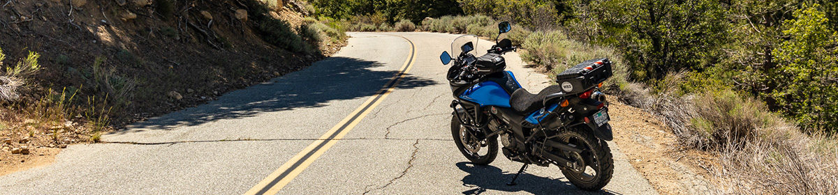
Once getting out of the jungle, I turned off the Interstate at Frazier Park and made a stop for gas and lunch at a truck stop. I then hopped on Frazier Mountain Park Road and headed into the forest. I turned onto Mil Portrero Highway and climbed into the Los Padres National Forest. Once I turned onto Mil Portrero Highway, I had the road to myself. I didn’t see any other vehicles until I was close to Highway 33
I’ve done Mil Portrero going west to east, but this was my first time going east to west. It was a really fun trip this direction as well. I even noticed things in the scenery that I didn’t see on prior runs through here. I would have had video, but I sacrificed the footage because I didn’t empty my camera’s memory card before leaving and didn’t have a way to save it on the side of the road. Oops. It’s ok … I still took video of me dancing on the bike later in the trip.
I stopped a couple times to snap some pictures of the scenery, like the big rock outcrops and the brown grass, and continued on my way.
I made my right turn onto Highway 33 to head toward Carrizo Plain. I new the turn off was not far from where I got onto 33, but there was no sign and it came up very quickly – so quickly, that I missed it. I pulled over and waited for what seemed to be a mile-long convoy of trucks to pass, then made a U-turn to get back to Soda Lake Road.
A few miles north of 33, Soda Lake Road turns to dirt … dirt that hasn’t seen a grader since probably the Reagan Administration. I was glad all my bolts and screws were properly torqued and stuck with Loctite. For about 30 miles, the road rattled my teeth and bones, and occasionally surprising me with some loose moondust.
I stopped for the night at Selby Campground and actually got the same site I stayed in the last time I stayed there almost 10 years ago. I found the rough road had turned my Oreos into Oreo powder, and the combination of heat and the rough road had turned my Peanut M&Ms into an M&M candy bar.
There was a fire ban, so I didn’t make a fire. It didn’t stop another group from making one. I doubted a ranger would be by to stop them.
The sky was unbelievably dark; I was lucky enough to get there during the new moon. Looking up, I could see the core of the Milky Way stretching across the sky. I set up my digital telescope to track some objects in the sky.
Some wildlife came out as well. While tracking some nebula, I walked back to my tent to grab a snack and a drink. Some motion caught my eye. I saw a tarantula carrying what looked like a tortilla chip. Get some, little guy! Upon closer inspection, it was actually a leaf, and he was using it to cover his hole. A little while later, I saw the tarantula looking for his dinner – a stink bug beetle. I let him be and hoped he had a good feast.