I did not sleep well last night. Not because of wind, or cold, or strange noises going bump in the night, I just could not get comfortable. Throbbing pain in my shoulder and wrists kept me from finding that good position on an otherwise comfortable sleeping pad.
I woke up around 6 o’clock to the rising sun. It was not cold. It was not warm. It was just right. I walked 100 or so yards away from my camp and set my chair and camera up to watch the morning light fall on the Sierras.
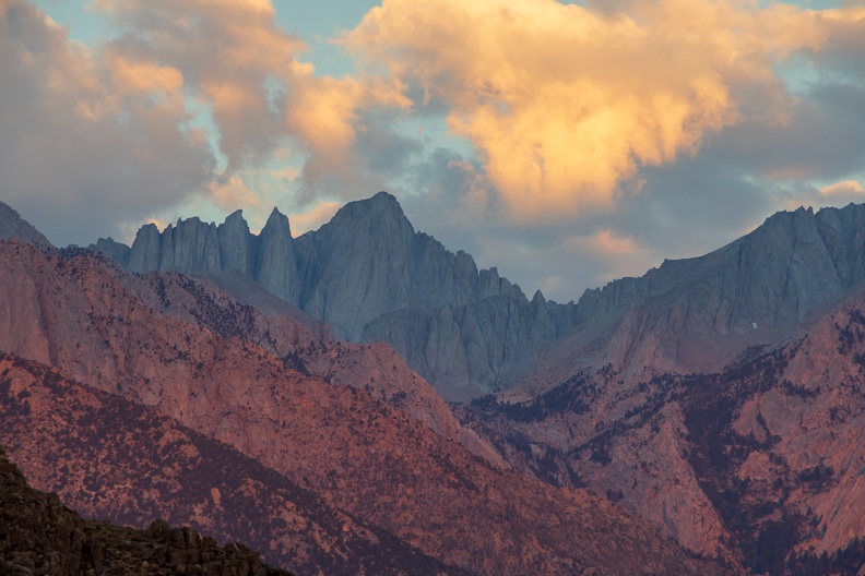
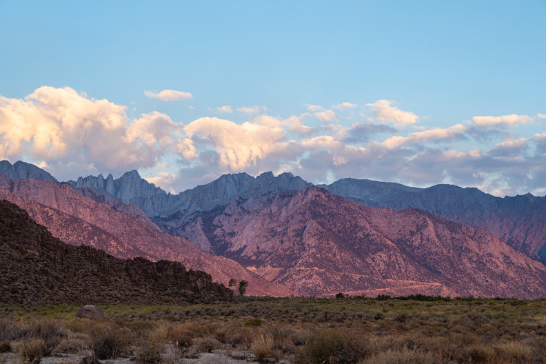
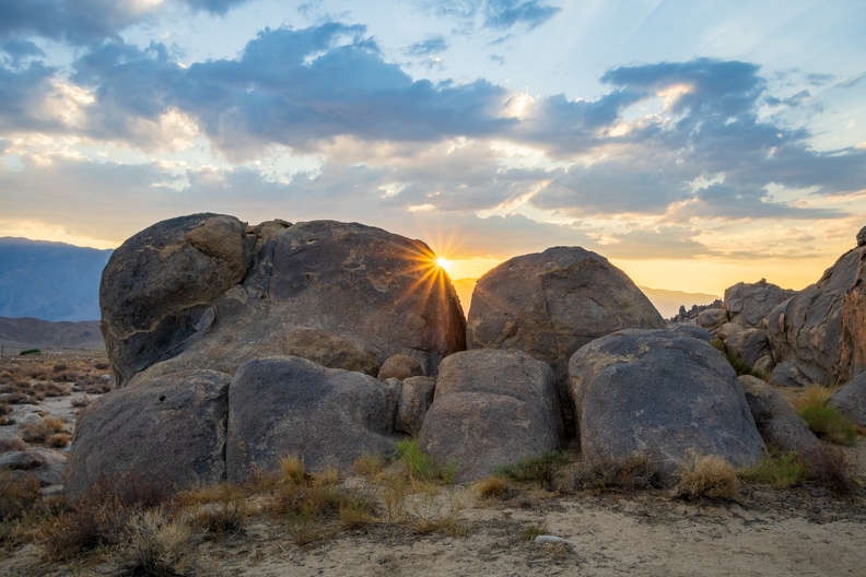
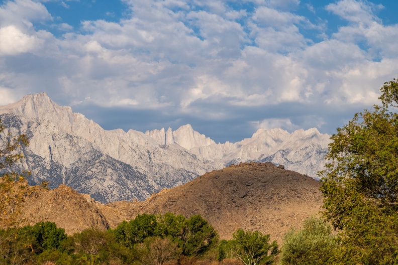
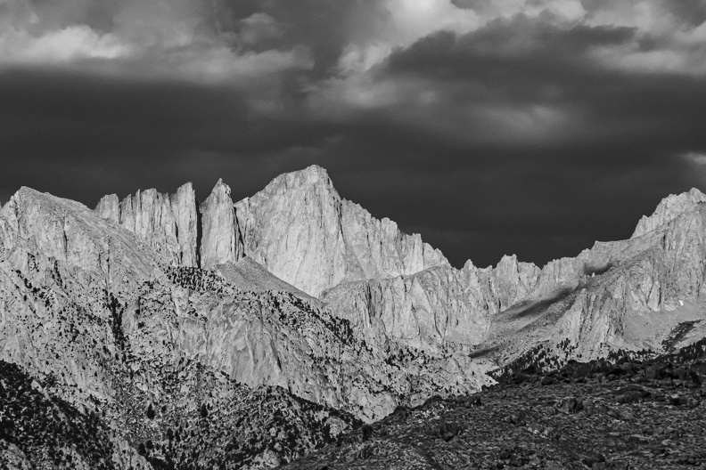
As the sun started to clear the Inyo Mountains to the east, it began to paint the Sierras in a rich pink light. The light slowly moved from my right to left, as if it was painting the rock. The pink hues grew in intensity until the mountains seemed to glow. It was an amazing sight to see, and within minutes, the pink cast disappeared and the Sierras returned to their normal brown and gray color.
I made my morning coffee and broke down camp. I still did not see anyone around. I wondered if the camping areas south of Whitney Portal Road get less visitors than the more famous areas of the Alabama Hills on the north side along Movie Road.
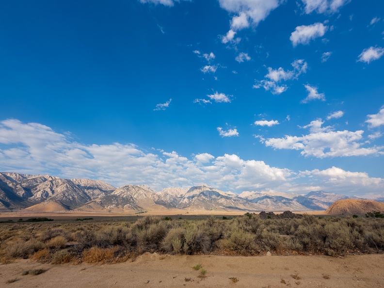
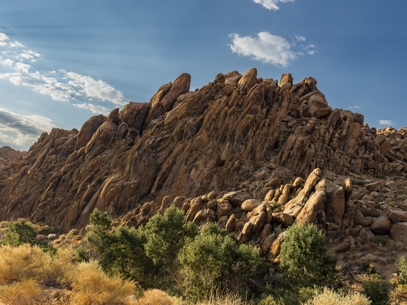
I got on the road around 7:30. I headed toward town on Tuttle Creek Road, which winds its way through a narrow canyon formed by the eponymous creek. Towering rock formations, weathered by wind and sand and tilted by tectonic processes stood right against the pavement’s edge. There were few people out, and the ones who were seemed headed in the opposite direction as me, and seemed to want to drive dead center of the road, oncoming traffic be damned!
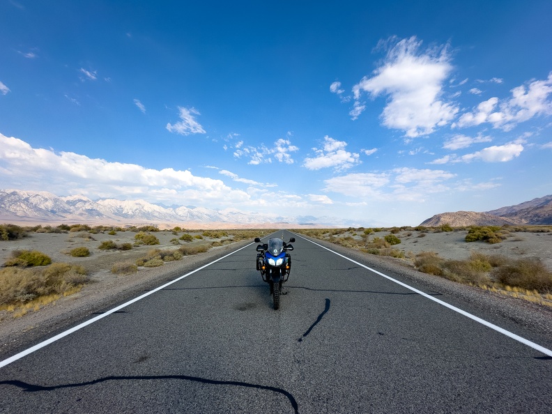
After a quick stop and the local visitor center, I headed out of town and east on Highway 136. I had the road to myself with nobody ahead of me, and nobody behind. The lack of traffic gave a perfect photo opportunity with my bike in the middle of the road and the Sierras as its backdrop.
The highway follows the eastern shore of what remained of Owens Lake. The lake once covered more than 100 square miles of land to depths of up to 50 feet. Now, it is all but dry thanks to irrigation projects in the early 1900s that carried water from the river that fed the lake to Los Angeles. Today, lake water is pumped into evaporation ponds so minerals and chemicals can be extracted for use in industry. This industrious use of the lake’s water left a rotten egg smell lingering in the air.
Highway 136 met Highway 190 and climbed into the Inyo Mountains and Death Valley National Park. The air started heating up, and the elevation change did not help. The highway passed the Father Crowley Overlook, which looks down upon Rainbow Canyon. The canyon is famous as a military training site, where all manner of jet aircraft train to fly its tight curves. It is not unusual to see a jet passing at eye level through the canyon. However, today was Saturday, so I kept going, thinking the pilots would have the day off.
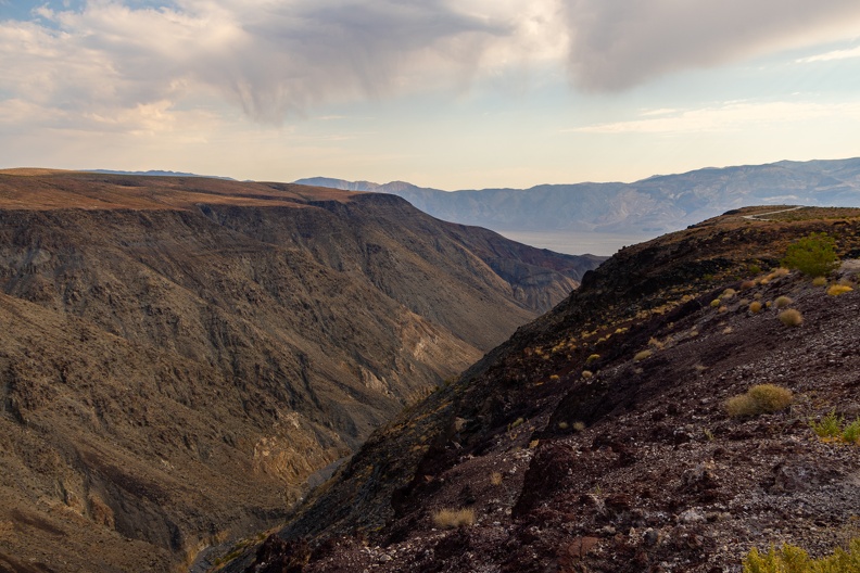
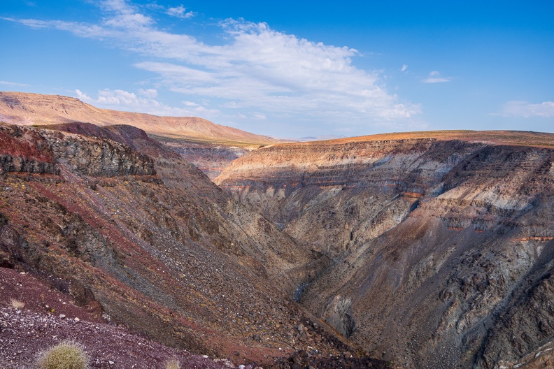
As I dropped down into the Panamint Valley, I saw two C-130 cargo planes flying around. Perhaps they were going to make a run through the canyon. I quickly made a U-turn and sped back up toward the overlook. I turned to the overlook and waited for a while, but the planes did not return. Oh well, back to the road.
A few miles past the town of Panamint Springs, I made a turn onto Panamint Valley Road. What a terrible road this was! It was almost as bad as Imperial County’s Highway S-22. The pavement was very pebbly, and I could feel the bike sliding and wandering over the tops of the pebbles.
The road crossed over the Argus Range and dropped into the Searles Valley, home of another mostly dry lake, Searles Lake. The remnants of the lake are home to mineral companies that produce various minerals such as sulfate, borate, and halides from the lake bed.
I passed through the town of Trona, home to many crumbling buildings and the only all-dirt high school football field in the country, and stopped for a break. I sat at a picnic table at a rest area wedged between the lake bed and the Searles Valley Minerals plant. It was a weekend, but the plant was whirring and buzzing with activity. A sulfurous scent hung in the air as I drank my water and crunched on an apple.
After my break, I left the Searles Valley and returned to Highway 395, stopping at Kramer Junction to top off my tank. I had a decision to make. I could continue on Highway 395 and take it south to Interstate 15 and return home through the Cajon Pass. This would be a quicker route, but would require dealing with heavy truck traffic most of the way. Or, I could go back the way I originally came and go up the backside of the San Bernardino Mountains through Big Bear. This would be a longer route, but would have less traffic. I chose the less-traffic route.
As I rode through the desert south of Barstow, I could see the smoke plume from the Line Fire hanging over the mountaintops. It was blowing west toward the Cajon Pass. I think I made a good decision; I would have had to ride through that!
In addition to the smoke plume, I saw dark rain clouds hanging over the mountains. Fires have a tendency to affect the weather around them. Smoke particles cause cloud formation, and can often create thunderstorms. You see it a lot around large wildfires and volcanoes.
As I neared the north base of the mountains, a single lightning bolt struck in the distance. Hopefully, that is the only one.
I started climbing Highway 18 and the dark clouds hanging over the mountains. It began to rain. First, a light drizzle, then it got a little heavier. Soon, it was hailing. The rain did not bother me much. I watched the temperature reading on my instrument panel go from 103 degrees to 71 degrees in a few minutes. I got soaked by the rain and hail, but it felt so good to cool off.
The rain only lasted a few minutes, but was a relief. Kind of like air conditioning. As I passed through Big Bear City, I heard a few thunderclaps off in the distance, but the rain stayed away from the rest of my route.
I was dry by the time I got home.
