I decided on a quick overnight as a sort of end-of-the summer trip. I had wanted to go to Alabama Hills on a previous ride to try out dispersed camping for the first time. Unfortunately, I changed those plans mid-trip due to high winds that made riding miserable.
I got on the road around 9:30 in the morning. This summer brutalized Southern California this year; the air temperature neared 100 degrees as I loaded the bike. Sweat dripped off me like someone had opened a faucet.
Because Interstate 15 and Highway 138 always have traffic, particularly on weekends as people head to Law Vegas and other points north, I decided I would try a different route that would hopefully bypass the traffic.
I headed out of Yucaipa on Highway 38 and climbed into the San Bernardino Mountains. A slight smoky smell hung in the air from the Line Fire east of Highland. The fire, at the time, had burned more than 20,000 acres and steadily climbed toward the mountain communities of Running Springs and Big Bear Lake. The fire sat some miles away from those towns, so I did not think it would affect me much.
Shortly after starting the climb into the mountains, I spotted a black bear sprinting across the road in the town of Angelus Oaks. The bear seemed unfazed by the traffic passing in both directions and it quickly scampered off into the forest almost as quickly as it had appeared.
Climbing higher into the mountains, the temperature dropped about 20 degrees – a nice respite before I dropped into the Mojave Desert. A few miles before reaching Big Bear City, I passed Onyx Summit. The signs had disappeared, but its 8443-foot elevation makes it the highest point on the state highway system in Southern California.
After passing through Big Bear City, where I joined Highway 18 that followed the curves of the shores of the dry Baldwin Lake, I descended into Lucerne Valley. The temperature started climbing again and reached 103 degrees by the time I reached the bottom of the mountain.
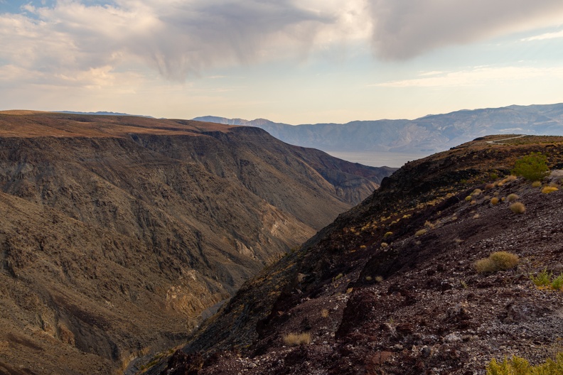
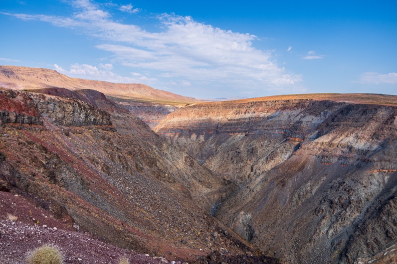
As brown and desolate as the desert can look, it has its own beauty. Red rocks and yellow foliage with just a hint of green dotted the landscape. Life out here must adapt to survive the extreme temperatures. As long as I kept moving, I would handle the heat as well. A few clouds floated in the sky – at this time of year, monsoonal moisture coming off the Gulf of California mixes with the hot desert air to create towering cloud formations that often spur sudden rain showers and thunderstorms. I had none of that today, but the slight temperature drops each time I went through a cloud’s shadow felt nice.
After about 30 miles of riding through the desert, I reached Barstow and passed through the city’s old downtown. Main Street through downtown follows the path of old Route 66. It appeared as one would imagine an old Route 66 town, old one- and two-story storefronts of diners and restaurants, both still running and long since closed, small motels built around a parking courtyard with road trippers in mind. However, the faded signs with crumbling paint gave a hint that time started to forget the area once the interstate arrived.
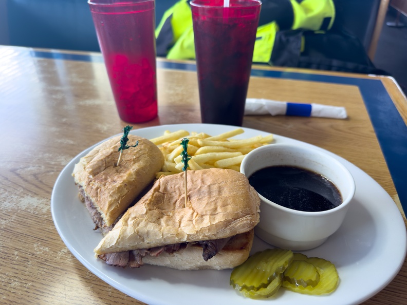
I hopped on Highway 58 and made a stop for food and fuel in Kramer Junction. I had lunch at a place called The Roadhouse, the kind of greasy spoon you would expect in a place that caters to providing service for travelers and truck drivers. The kind of place with the last available food and gas for hours. The water and soda were cold, and the French dip sandwich was delicious.
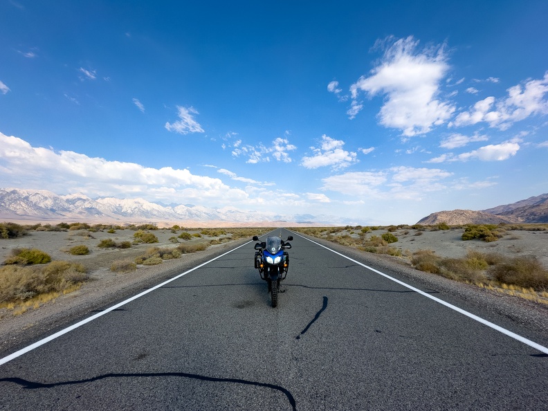
With a full tank – both on the bike and me – I headed north on Highway 395. The highway is a busy route for trucks going between Nevada and California. Despite the high amount of shipping traffic, the state has not expanded the highway from a two-lane road to four or more. At any opportunity, when the dotted center line presented itself and the coast cleared, I rolled on the throttle and left the rigs behind.
Highway 395 passed through a few old mining towns such as Red Mountain and Johannesburg, crumbling homes, shuttered saloons, and the skeletons of old mining operations sat everywhere. The mines gave up their gold and silver long ago, leaving the towns to mostly rot in place. The few businesses that remained open catered to travelers and off roaders who use the surrounding mountains and desert for recreation.
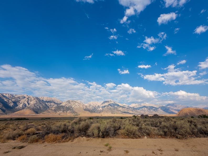
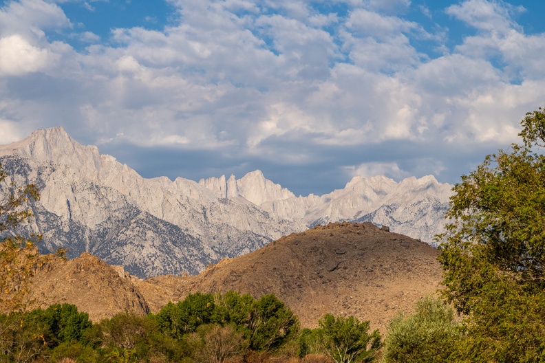
As I approached Inyokern, the southern peaks of the Sierra Nevada came into view. Brown desert hills gave way to the towering, jagged, gray peaks of the Sierras. The slight haze in the air, desaturating the mountains’ colors and making the summits of Mount Jenkins, Owens Peak and Sawtooth Peak appear like a painting. Another reminder of the large variation of landscapes that make up California.
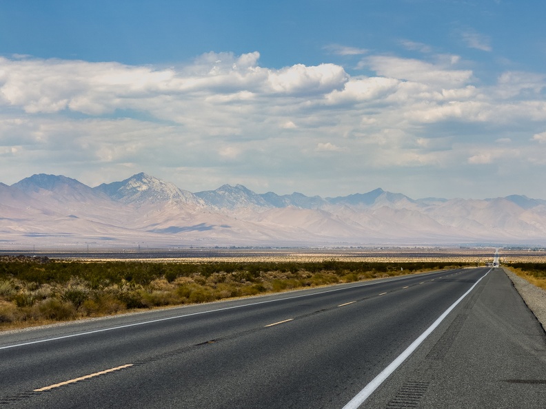
The highway turned to a more northerly direction, paralleling the Sierras through the Owens Valley. Soon remnants of ancient volcanoes of the Coso Volcanic Field dotted the area around the highway. Sharp lava rocks sat in the highway’s center median and old, dormant cinder cones sat along the highway’s eastern edge.
By this time, temperatures neared 110 degrees. I have found the heat tolerable as long as I keep moving. I had every available vent open on my jacket and pants to keep air flowing through. I also made sure to stop regularly to find shade and drink water.
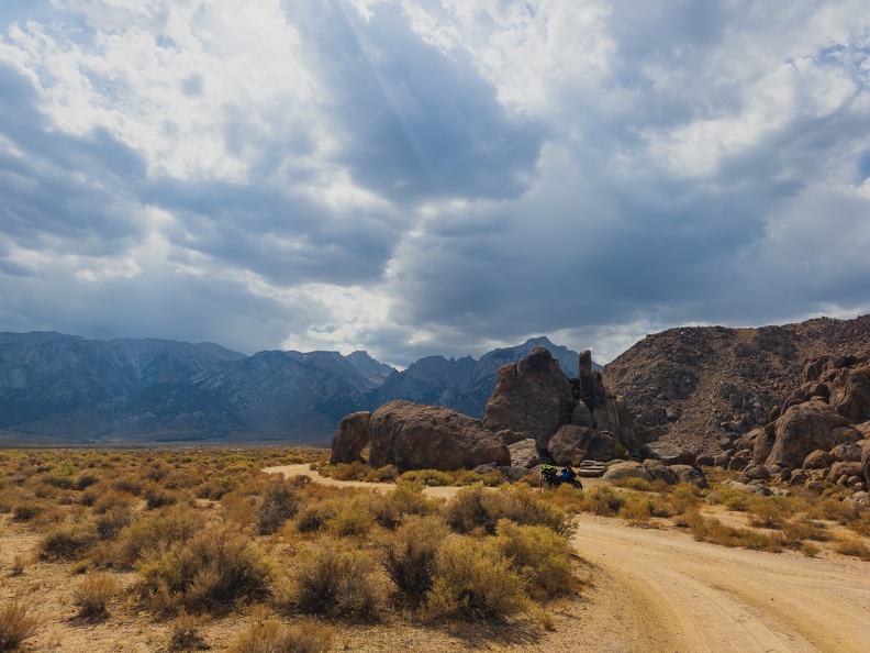
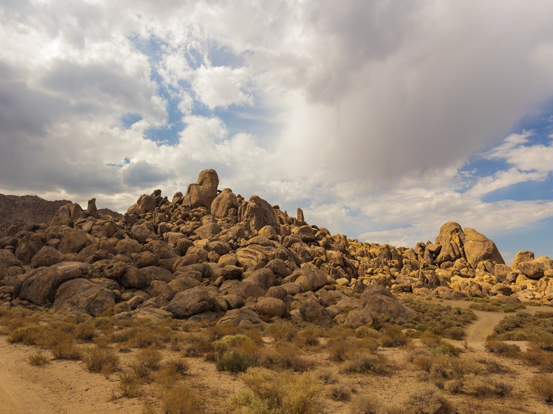
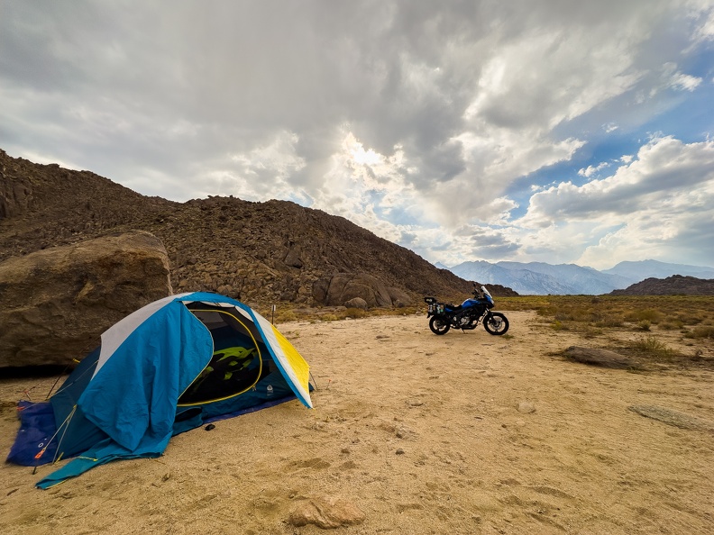
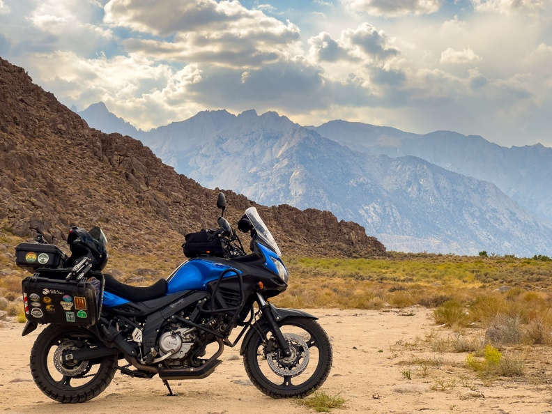
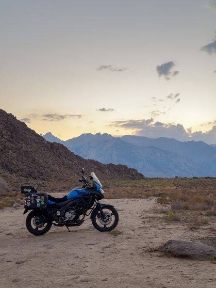
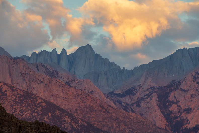
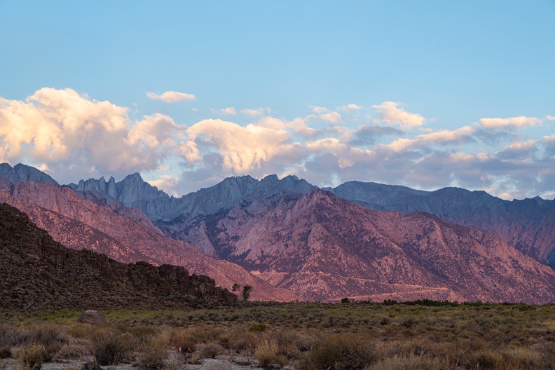
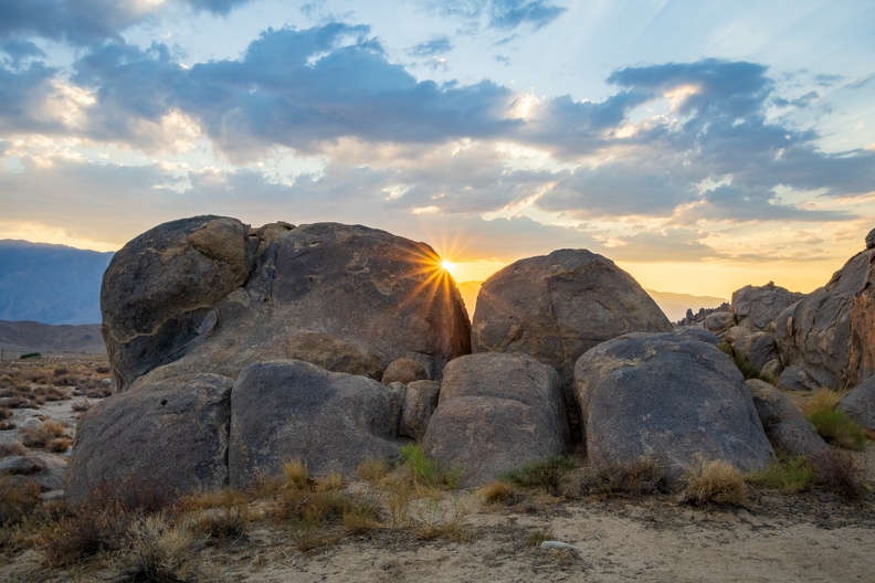
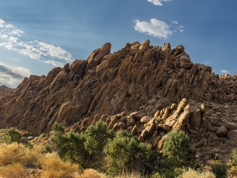
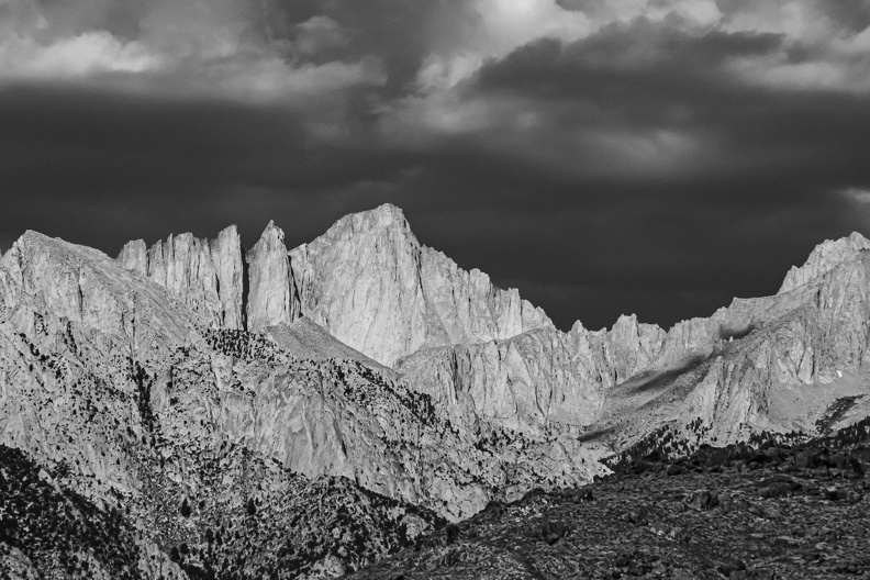
I reached the Alabama Hills around 2 o’clock. In my research of the area, I knew campers, van-lifers, and off-roaders found the place popular. Given the popularity, the Bureau of Land Management has limited the number of areas allowed for camping. I fully expected difficulty in finding a camping spot on a Friday afternoon. Either I arrived really early, or this weekend was not a popular one. I did not see anyone around as I rolled into the hills. I rode around a few of the dirt roads, looking for just the right spot to set up camp. I found one on the north side of a large hill about one-quarter mile down a rocky dirt road. The campsite sat in the shadow of a large heart-shaped rock balanced on another boulder. The rock vaguely took on the shape of the red monster Gossamer from the Looney Tunes cartoons. Off in the distance I could see the jagged peak of Mount Whitney, the tallest mountain in California. This site will do just nicely.
I started to set up my tent to claim my spot before running into Lone Pine for some supplies. I went to the bike to take my cooking supplies out of my right pannier, but I found the pannier missing! I could not see it in my mirror, so I had no idea when it might have fallen off, but I remembered it there when I stopped for lunch.
I retraced my steps along the dirt roads I had taken to get to camp. I found the missing pannier laying in the middle of a dirt road south of the hill about a miles away. One of the mounting clips had become misaligned, making the pannier susceptible to bouncing around on the bumpy roads. I put it back on and secured it to the bike’s grab handles with my luggage straps to it would stay on till I got back to camp.
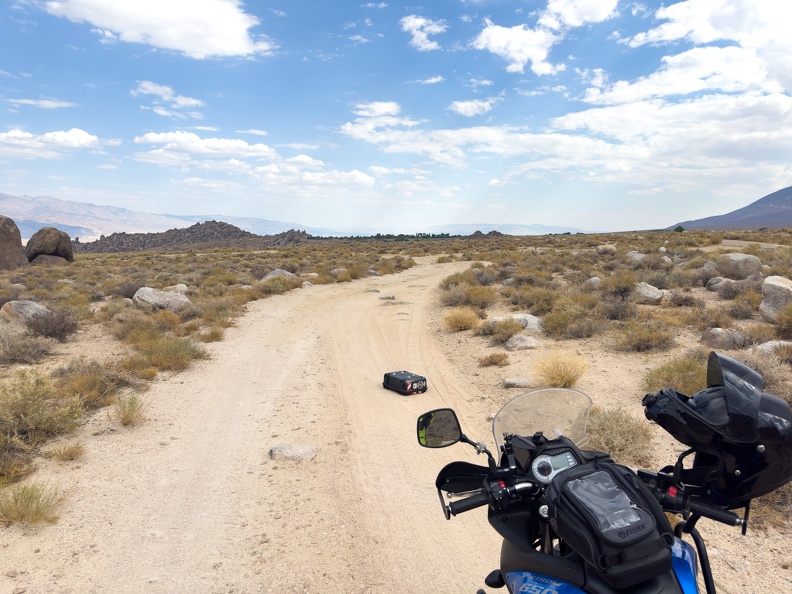
Back at camp, I realigned the mounting clip and torqued the bolt holding it to good-n-tight specifications. Like a true dad, I gave it a tug and said, “That’s not going anywhere.” And, so it shall be.
I took a short break in the shade of the boulders at my campsite to rest a bit and cool off. I then rode to Lone Pine to gas up and grab supplies for the night. Before returning to camp, I drank an entire bottle of Gatorade to rehydrate.
I got back to camp around 4 o’clock and took another rest in the shade with some more water and Gatorade after changing out of my riding gear into cooler clothes. Nobody had appeared at the campsite across from mine yet, and it was very quiet except for the occasional whirr of a car passing on the main road.
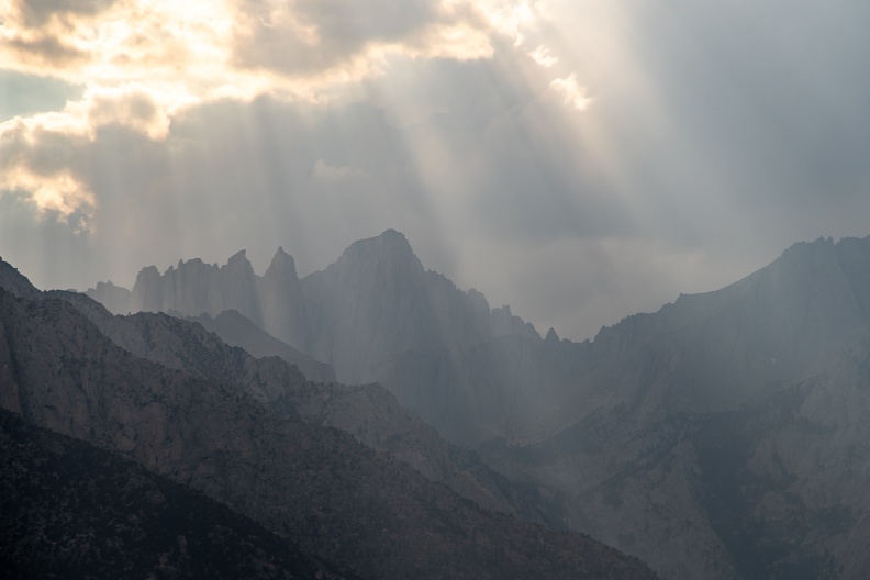
Afternoon clouds had grown over Mount Whitney and sunbeams shone through the small breaks between clouds. I could see some parts of the Sierras nearby getting some rain. I took a little walk down the road to take in the views of the mountains.
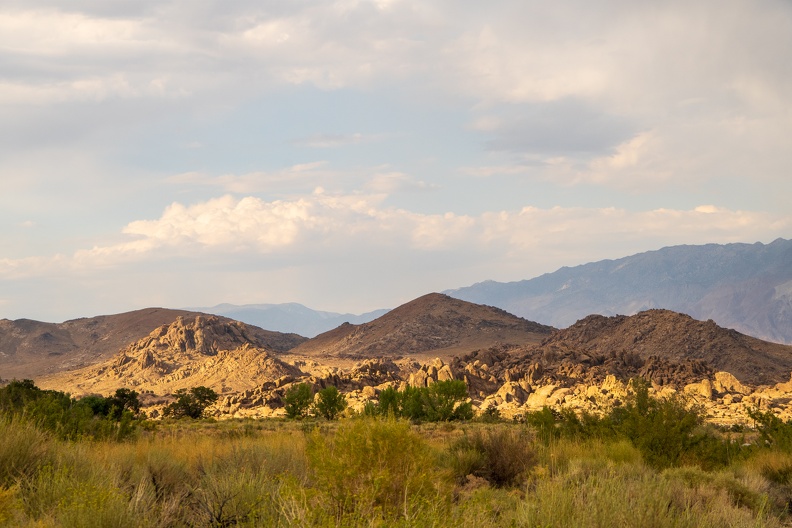
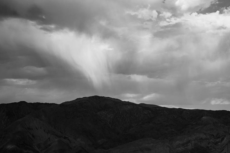
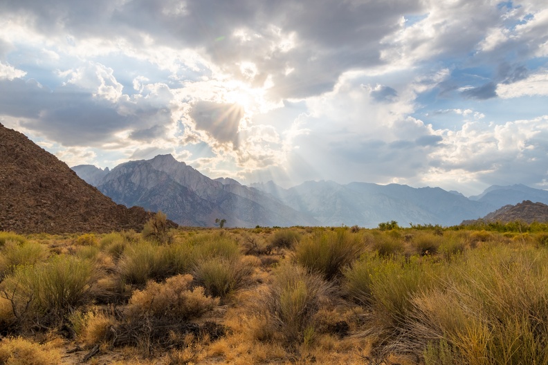
I returned to camp and sat looking at the scenery around me. The rain over the mountains had moved into the valley, dropping a light shower on me. The cool water felt nice and it was not so heavy that I needed to make a run for cover.
Nobody ever showed up at the campsite across from me. I suspect nobody showed up at any of the other campsites in the immediate area. With no water, no bathrooms, and nobody around, it was almost true solitude. As the sun set behind Mount Whitney, it was just me, the night, and the crickets.
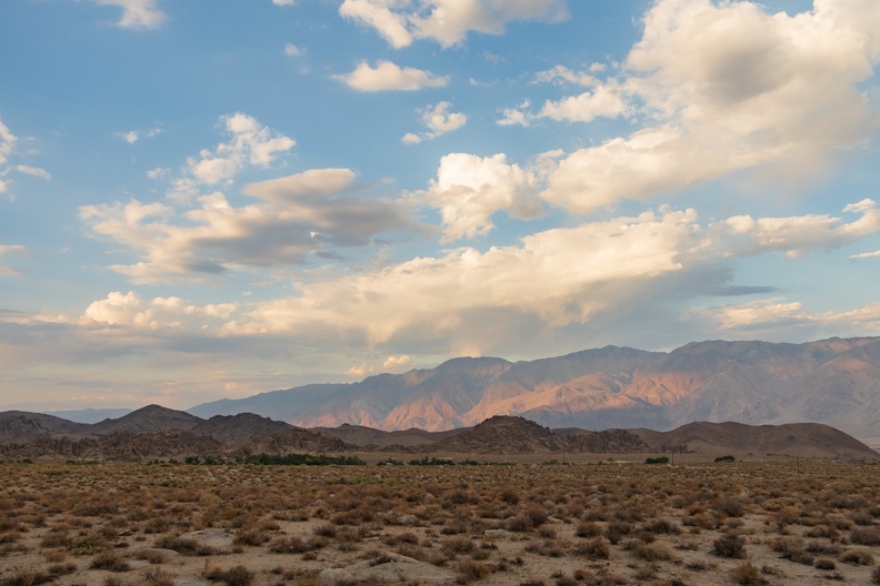
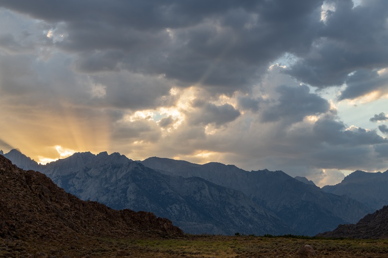
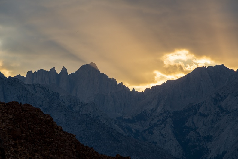
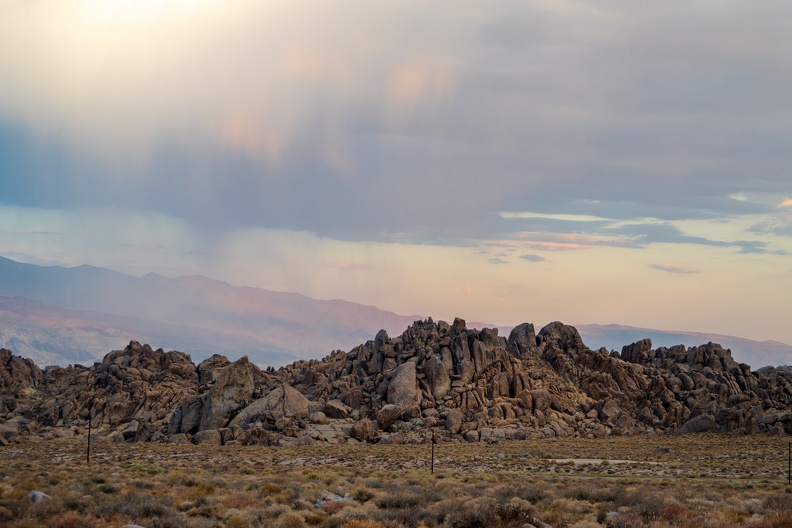
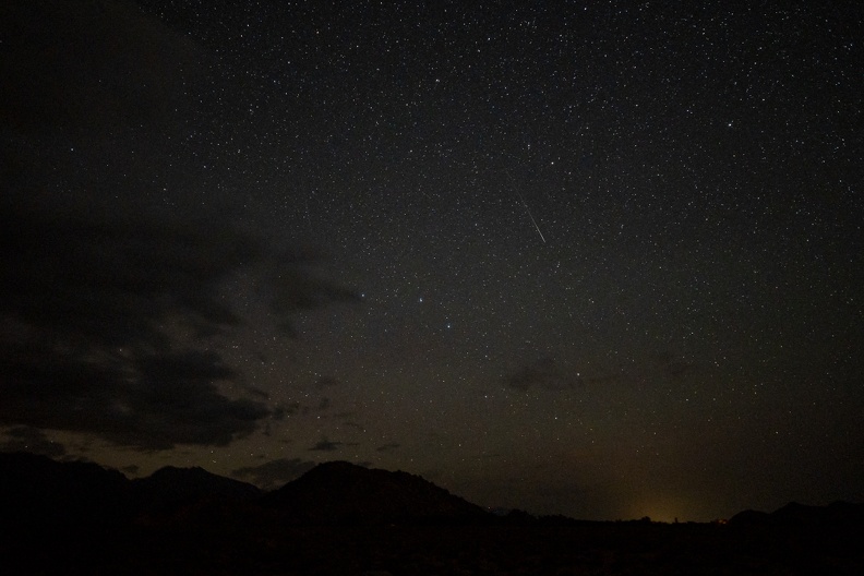
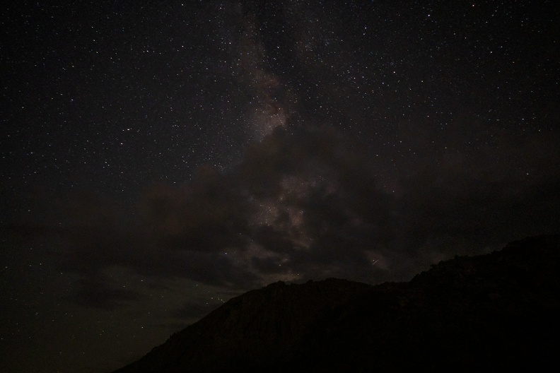
As I ate my dinner, I watched the clouds move across the mountains and soon the stars came out. The silence and the scenery relaxed me. I headed into the tent around 10 o’clock to call it a night. It was still 80 degrees out, so I did not need a blanket and a gentle breeze kept things from getting too stuffy inside.
