Joshua Tree to Calimesa
It got pretty cold overnight, down into the mid-30s. I was mostly warm, but I did not realize that my new “extra-large” sleeping bag would not fit over my shoulders. I dug out my camping quilt for a bit extra insulation. Even once I got warm, I don’t think I slept very well, tossing and turning. It might be time to look for another sleep option.
The sun was already over the hills east of camp when I got up. Though it was only still in the high-40s, the sunlight added just enough warmth to be comfortable as I made my morning coffee. I broke down camp and got on the road a little after 9 a.m.
I took off north into Yucca Valley for the short ride back home. Since just heading home on Highway 62 would be so short, I decided to take a detour to explore just a bit. I turned onto Pioneertown Road and headed into the foothills north of Yucca Valley.
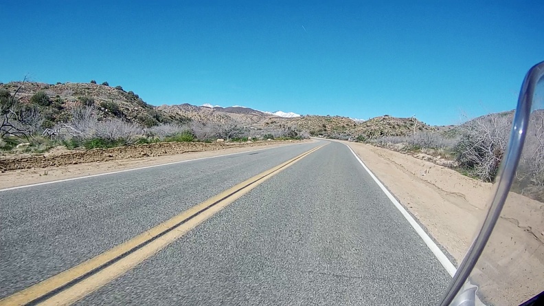
The road climbed into the Sawtooths, where large granite boulders and desert scrub lined the canyon. The snowcapped 11,503-foot summit of Mount San Gorgonio occasionally made an appearance in the distance. The road emerged in a large desert valley just south of Pioneertown. The town was built in the 1940s as an old-west themed living studio. Hollywood studios could use the town as a movie set and it appeared in hundreds of movies such as The Cisco Kid and Judge Roy Bean. The Singing Cowboy Gene Autry even filmed his weekly TV show in Pioneertown. Today, the town hosts old-west gunfight reenactments, hosts a museum, and sometimes still gets used for productions that need an old-west town. Since it was Sunday, everything was closed, so I did not stop.
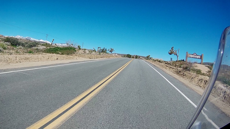
I continued through the valley and turned onto Pipes Road. Along the road were multiple large ranches. Off in the distance, the road disappeared between two flat-top mesas. It was like riding through a John Ford movie.
After a short while, I found myself back on Highway 247 and heading back down toward Yucca Valley, where I rejoined Highway 62.
Highway 62 rejoined Interstate 10 at the east end of San Gorgonio Pass. The many dozens of, actually more than 1,200, large wind turbines that line I-10 stood in the shadow of Mount San Jacinto to the south. The area is perfect for a windfarm. Air moving inland from the Pacific Ocean, gets squeezed as it enters the pass, which separates the San Bernardino and San Jacinto Mountains. As the air enters the narrow pass, it speeds up.
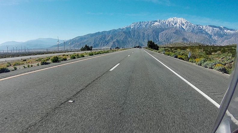
The topography of the pass makes things a bit difficult for truckers and motorcyclists. Air along the sides of the pass gets deflected back toward the center when it hits the mountains. At the same time, air that was coming straight down the center of the pass stays its course. The result was I had to ride into a headwind, which wanted to slow me down, and a crosswind, that wanted to push me into the next lane. I kept my head down, gave a bit of throttle and let the bike do what it wanted to do as much as I could.
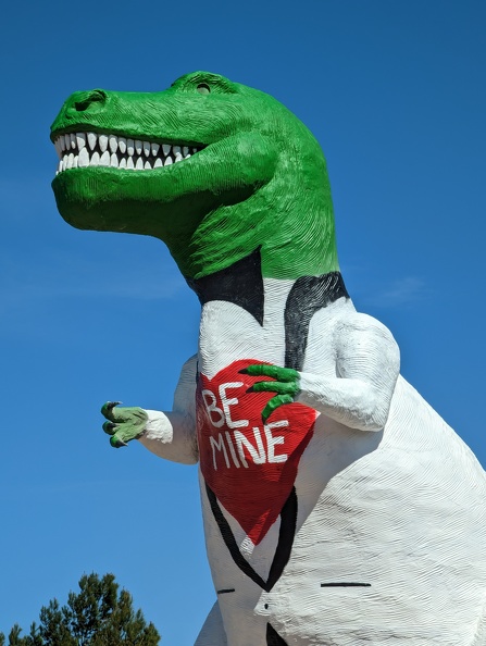
I pulled over for a quick stop at the Cabazon dinosaurs. The two dinosaurs, a 150-foot-long brontosaurus, and a 65-foot-tall tyrannosaurus, are famous landmarks that have stood next to I-10 for nearly 60 years. Mr. Rex was still decorated for Valentine’s Day with a painted shirt that read “Be Mine.”
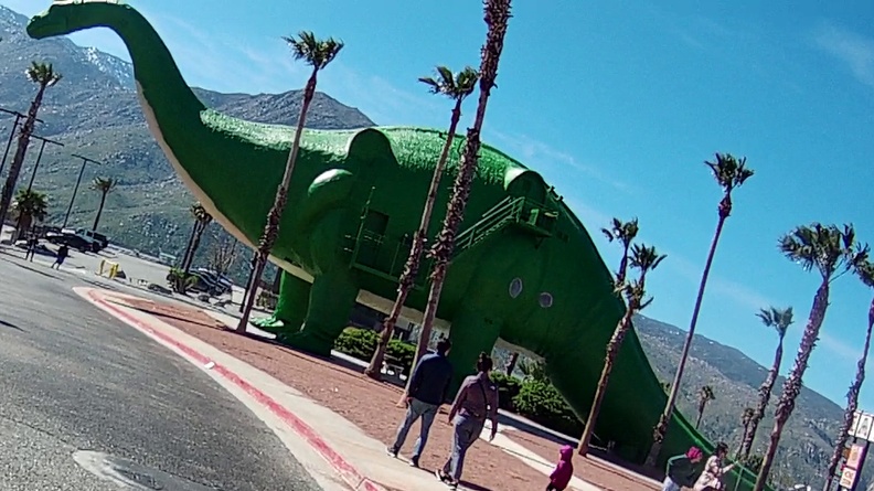
After avoiding an oblivious BMW driver who did not know how to navigate a roundabout, I got back onto the highway for the short trip back home.
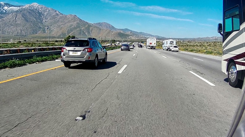
As is typical for Sundays on I-10, traffic started to pick up near Beaumont. There were many more courteous drivers on the freeway, who kindly moved over so I could split the lanes and keep moving.
I got home just in time for lunch and to knock out a term paper that was due later that night.
It was a short trip, but a good one. Until next time.
Miles: 77
Tumbleweeds Dodged: 0
Total Trip Miles: 390
