A lot has changed since my last trip report. I’ve been on a couple trips that I slacked off on writing the reports. I’ve been busy with exciting changes.
In June, just to test the waters, I applied for a new job at a few different agencies in Southern California. I wasn’t sure what would happen, or if I would want to move, but it didn’t hurt to apply. I heard back from one agency, a university, and got an interview. I took the interview and didn’t think I did that great, but I was given a second interview and then offered the job. It was a huge decision; I had lived in Humboldt County, California, for more than 20 years after graduating from high school. I had put down roots, made friends, and had almost 14 years of seniority at work.
Ultimately, I took the job and we made the crazy decision to pull up our stakes and move across the state. In doing so, I said goodbye to all the friends I had made in my time in Humboldt. Goodbye did not mean forever though. Through the magic of modern communications, I’ve been able to keep in touch with my Humboldt connections.
One of those connections is someone who’s been somewhat of a motorcycle travel mentor to me: my riding partner, Greg. You may remember him from previous trips.
Greg was planning a trip through the southwest with passage through Southern California. Of course, he always has a place to stay with us!
Greg arrived on a Sunday. I was working on stuff in the garage and heard the familiar sound of his Tiger’s triple. It was so exciting to see my friend again! We set about planning our next adventure.
There’s so much to see in Southern California, but we weren’t going to see it all. We’ll save that for future trips. We decided to head for Mojave National Preserve.
Follow along …
Thursday, February 24, 2022 – “We’re getting the band back together.”
Due to my work schedule, Greg spent a few days living out of my guest room. We spent the days catching up and making plans.
We headed out a little before 10 a.m. It wasn’t warm, but it wasn’t too cold. It had rained the previous couple days, and some snow had fallen in the local mountains, so we prepared for the possibility of a cold ride.
Our first leg would see us slabbing it on Interstate 10. The highway would take us through the San Gorgonio Pass, one of three main mountain passes leading to the Los Angeles area. San Gorgonio pass is famous for the large wind farm situated between the San Bernardino Mountains and the San Jacinto Mountains. Snowcapped Mount San Jacinto stood above the south side, with its 10,834-foot peak blanketed in fresh snow.
Interstate 10 is a major trucking route between the west coast and the southern US. When we left, there wasn’t as much truck traffic as there typically seems to be. Normally, drivers would be dodging trucks that take up two of the highway’s three lanes. We had ourselves a clear path as the highway dropped into the Coachella Valley.
Suddenly, my right side mirror decided it was going to become a wind vane and turned itself parallel to my direction of travel. It wouldn’t be one my trips if something didn’t come loose. I guess I only torqued the bolt to [REDACTED] miles per hour. Who needs to see any way?
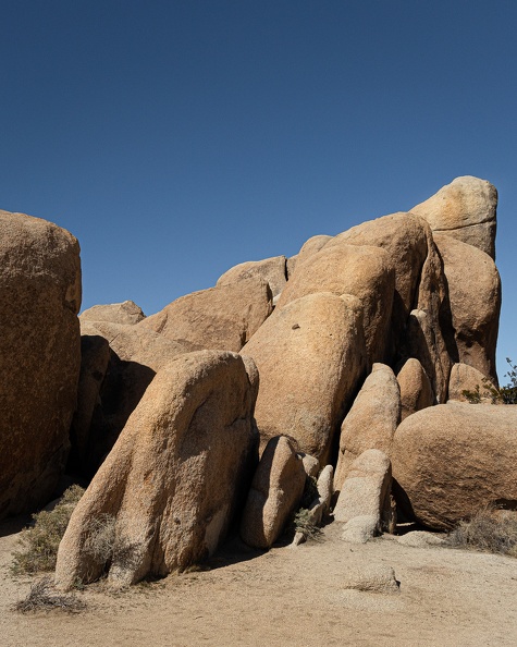
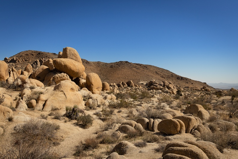
Just west of Chiriaco Summit, we exited I-10 and headed north into Joshua Tree National Park. The park was created as a National Monument in 1936 and made a National Park in 1994. The park straddles the boundary between the lower Colorado Desert and the higher elevation Mojave Desert.
The park showcases the beauty of the California deserts with forests of the eponymous Joshua Trees, desert cholla, and fields of desert scrub. We rode through the narrow Cottonwood Canyon as we entered the park where the road is laid upon a dried stream bed surrounded by red and orange rocks. Much of the rock was created by volcanic forces and later exposed through uplift and erosion.


The ride through the park was spirited, with curves and straightaways mixed equally. The park is a pretty popular destination in Southern California, so there’s always a good amount of traffic; however, much of the other vehicles slowed down or moved over to let us pass.


We exited the north entrance of the park and searched for a place to have lunch in nearby Twentynine Palms. Greg found a place on his GPS, which ended up being closed when we got there. So he found another nearby place, which ended up being so hidden that we couldn’t find it. Hangry Greg pulled into the parking lot at McDonald’s, only to find that they were only serving through the drive-thru. The whole town could probably hear the loud “FUCK” he shouted out when he saw the dining room was closed. I know I heard it through my helmet and earbuds. I managed to find a diner close by, the Cactus Trails Café. And it was open! Hangry Greg was satiated with a bacon cheeseburger.
We headed out of Twentynine Palms on Amboy Road and rode through Sheephole Pass between the Sheephole Mountains and Bullion Mountains to fully cross into the Mojave Desert. As we crested the pass, we were greeted with an expansive view of the Cadiz Valley and Bristol Dry Lake.
Soon we found ourselves on National Trails Highway, formerly known as US Route 66. Yes, that Route 66. We stopped in the town of Amboy at Roy’s Motel and Café, a Route 66 icon famous for its arrowhead shaped sign. Amboy is one of the many towns that Route 66 passed through before it was decommissioned and bypassed by Interstate 40 in the 1960s. Many of these towns, along with the highway were the inspiration for Radiator Springs in Disney’s “Cars.” The motel had long since closed, and the café was now a souvenir shop/convenience store, but the spirit of the Mother Road lived on. We grabbed a couple keepsakes, took some pictures, and picked up a couple supplies before making our last leg for camp.


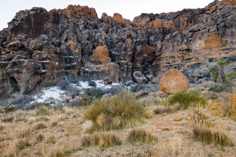
We hopped onto Interstate 40, and headed east further into the desert. We made our way into the Mojave National Preserve to make camp. We stopped at Hole in the Wall Campground, situated in a small valley at the base of the Providence Mountains, red-orange in color with pockets of snow on the north-facing walls. Around the valley was a plethora of desert life, yucca trees, differing types of desert scrub, and barrel cactuses with bright red spines.


Greg and I set up camp and then took a walk around the campground to explore the valley’s beauty. The walls of the valley were made of ancient volcanic rock and were covered in holes small and large that had been carved by the winds that often whip through the Mojave. Walking around, one really gets a feel for how deserts are lands of contrasts … often remembered as hot, dry places in the summer, deserts can get very cold during the winter months; and seemingly harsh to life, deserts are teeming with hardy flora and fauna that have adapted to extreme conditions. This area in particular probably sees temperature swings of up to 100 degrees between summer and winter.


Back at camp, it was like old times. The ride was something familiar. It was good to see my friend ahead of me on the road, while Greg commented on how there was something soothing about seeing my headlights in his rear view mirrors just like on all our prior trips.
We sat around camp watching the light fade from sunset, the appearance of the Belt of Venus, and the rising of the stars. The dark skies showed thousands of stars you wouldn’t normally see in town. I snapped some pictures of familiar constellations. The camera picks up much more than the eye sees. The shapes of the constellations become drowned out by the other stars in the background that are often too dim for the naked eye. To the north, we saw a white glow on the horizon. It turned out the glow was the lights of Las Vegas, 80 miles away! We even caught a glimpse of a few meteors streaking across the sky.


Daily mileage: 236
